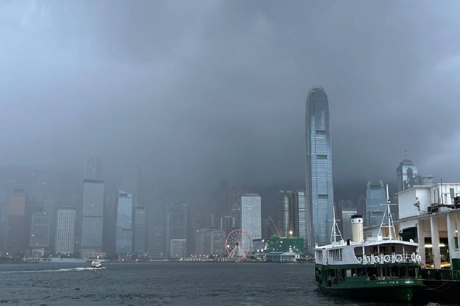
A tropical storm currently situated in the Gulf of Tonkin has been officially named Narra. The Hong Kong Observatory (HKO) issued a special weather advisory at 9.35am on Saturday indicating that the storm is expected to linger in the gulf for the rest of the day.
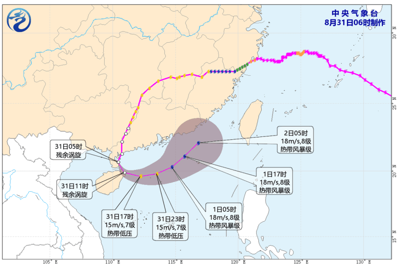
Forecasters predict it will likely take an east-to-northeasterly turn early next week, moving toward the Leizhou Peninsula and the western coast of Guangdong province.
Meteorological officials are closely monitoring the storm's trajectory and local wind conditions to determine whether a tropical cyclone warning signal will be necessary by early next week.
As of 10am today, Narra was positioned approximately 290 kilometers west-northwest of Haikou moving slowly.
Approaching Hong Kong by late next week
According to the Observatory's projected path, Narra will continue to hover in the Beibu Gulf before shifting east to northeast across the northern waters of Hainan Island next Tuesday.
By next Wednesday, the system is expected to weaken into a tropical depression as it nears the Leizhou Peninsula and western Guangdong. The storm is forecast to come within 400 kilometers of Hong Kong by Thursday while maintaining its tropical depression status.
Unsettled weather and thunderstorms ahead
Looking at the nine-day weather forecast, a broad trough of low pressure will bring persistent unstable weather to the southern Chinese coast and the waters east of Taiwan over the next few days.
Tomorrow will be predominantly cloudy with scattered showers, followed by heavier rainfall and thunderstorms in localized areas later in the day, with temperatures ranging from 27 to 31 degrees Celsius.
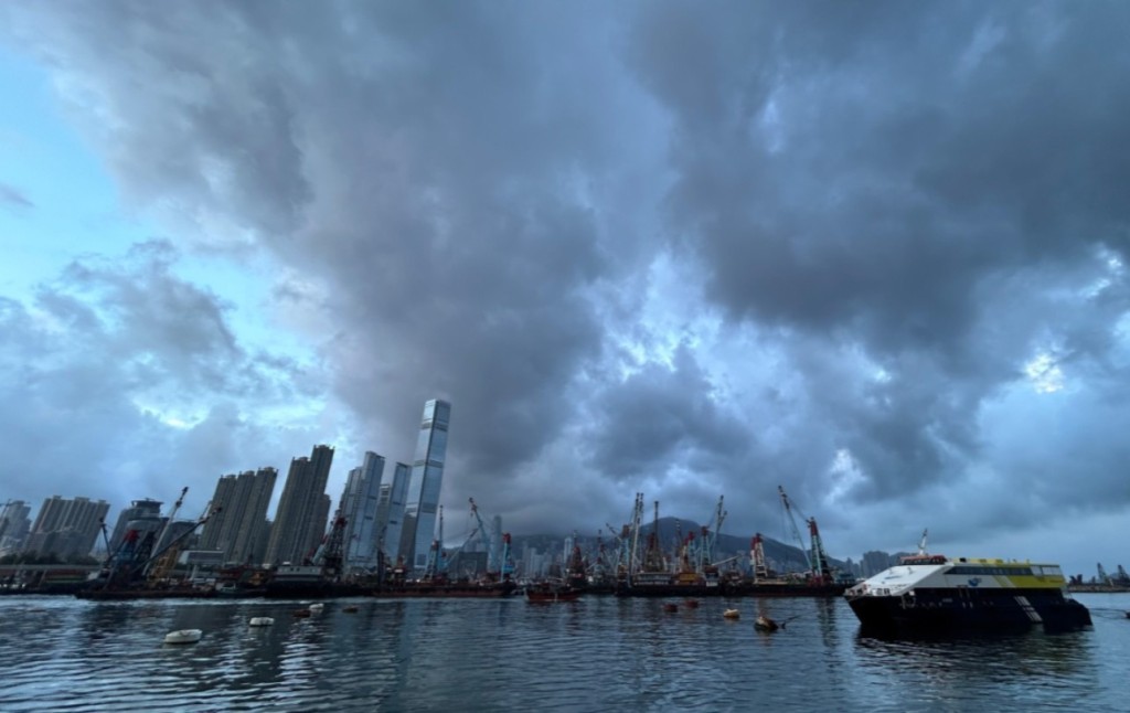
The Observatory anticipates that Narra will bring significant rainfall, squally thunderstorms, and strengthening winds to coastal areas from early to mid-next week. Next Monday will see cloudy skies with intermittent showers and squally thunderstorms, along with moderate to fresh south to southwesterly winds that could reach strong levels on high ground later in the day.
The unsettled conditions will continue into next Tuesday, featuring cloudy weather, heavier rain in certain districts, and squally thunderstorms. Next Wednesday will remain mostly cloudy with occasional showers and thunderstorms, as well as strong winds on high ground early in the day. Temperatures from next Monday through Wednesday will generally hover between 26 and 31 degrees Celsius.
In a separate development, a low-pressure system near the Ryukyu Islands is expected to loiter over the southern part of the East China Sea while gradually intensifying over the next couple of days.
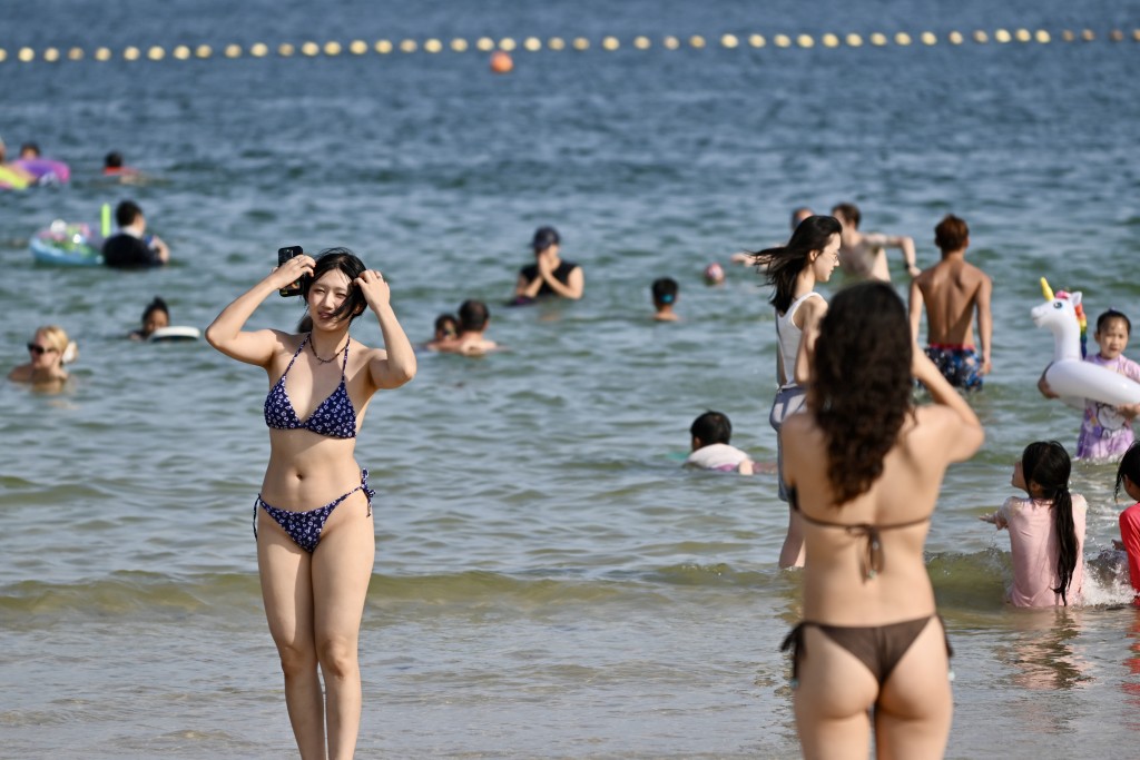
For today, Hong Kong can expect mostly cloudy skies with a few showers, morning thunderstorms in isolated areas, and brief periods of sunshine in the afternoon, with temperatures reaching a high of 32 degrees Celsius under moderate southwesterly winds.