The remnants of tropical cyclone Saudel are forecast to redevelop near Hainan before taking an unusual eastward track across the northern South China Sea, bringing stronger winds and more showers to Hong Kong as the new school year begins on Tuesday.
The Hong Kong Observatory said the remnants, which had weakened into an area of low pressure after moving deep inland, were bringing unsettled weather to an area stretching from the Leizhou Peninsula to Hainan on Monday.
The system was expected to move toward the southeastern coast of Hainan around Monday evening and gradually intensify into a tropical cyclone. The Observatory said it would consider issuing the Standby Signal No. 1 depending on the system’s development and its distance from Hong Kong.
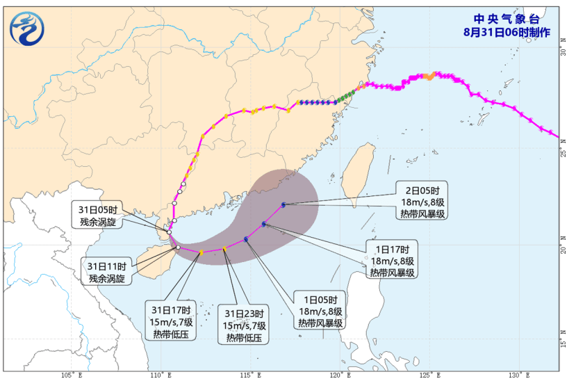
The system is forecast to move eastward across the northern South China Sea on Tuesday and Wednesday while gradually edging closer to the eastern Guangdong coast.
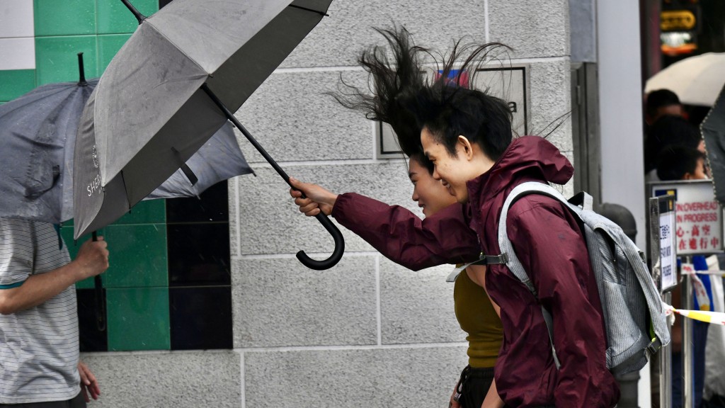
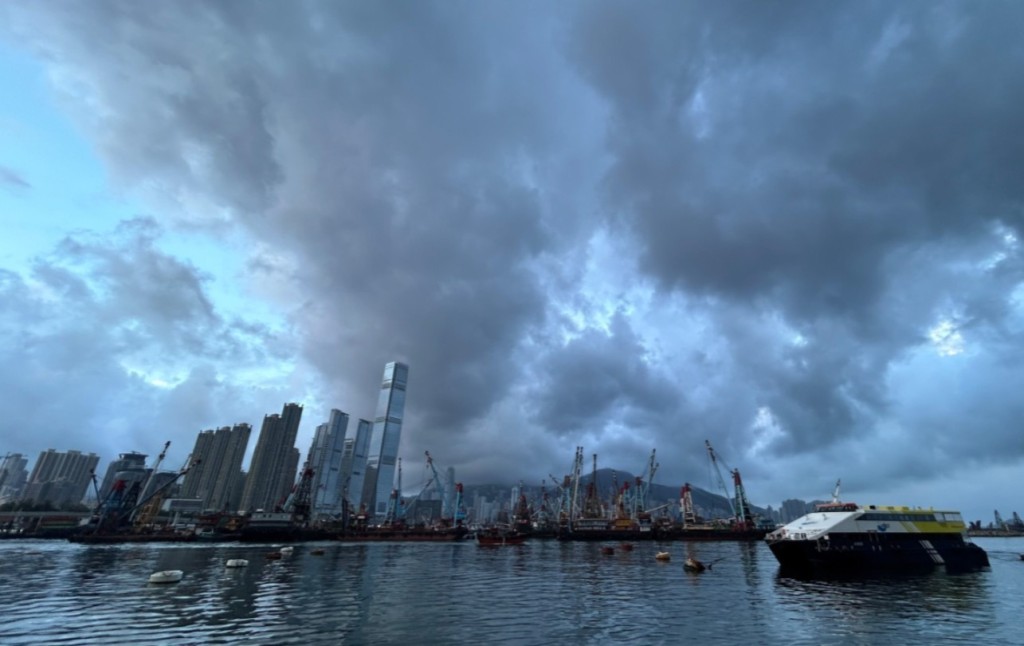
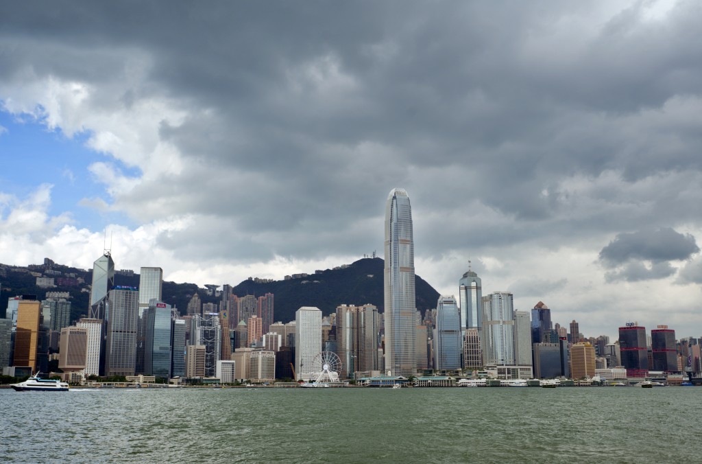
Combined with the northeast monsoon, it is expected to bring windier conditions, squally showers and swells to Hong Kong over the next couple of days. The Observatory said it would closely monitor the system and local wind conditions to assess whether higher tropical cyclone warning signals would be needed.
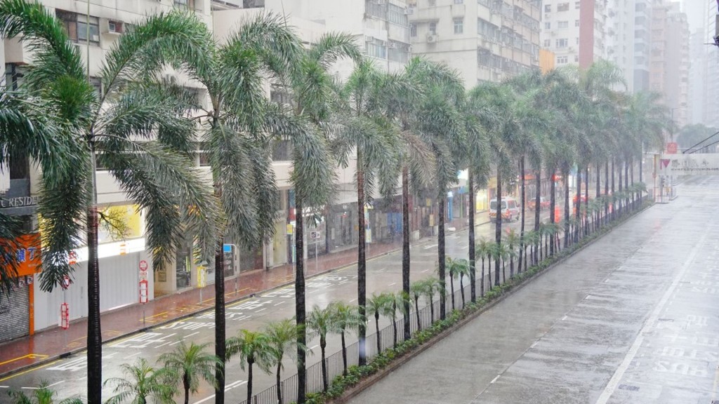
The latest nine-day forecast issued at 12.20pm on Monday predicts northerly winds of force 4 to 5 on Tuesday, occasionally reaching force 6 offshore and on high ground. A few squally showers are expected, with heavier rain and thunderstorms in some areas.
On Wednesday, north to northwesterly winds of force 4 to 5 are forecast, again occasionally reaching force 6 offshore and on high ground.
The forecast represents an increase in wind strength from earlier predictions and comes as students prepare to return to school on Tuesday. The Observatory urged the public to check the latest weather information before leaving home for school or work, with more showers and squally thunderstorms possible in some areas.
Saudel previously made landfall twice in Zhejiang on Aug 28 before moving southwestward across Zhejiang, Fujian, Jiangxi, Guangxi and western Guangdong. Its remnants later emerged over the South China Sea near Zhanjiang early Monday.
The resulting track is unusually curved, with the system effectively turning back toward the sea after traveling across southern China.
According to the Hong Kong Underground Observatory, an active social media community run by local meteorology enthusiasts, the Japan Meteorological Agency had issued a gale warning for the low-pressure system early Monday, indicating that it could regain tropical-storm strength.
It said the system could take an eastward track across the northern South China Sea over the next three days, passing to the south of Hong Kong before heading toward the Taiwan Strait.
Forecast tracks cited by the weather group suggest the system could come within about 200 kilometers south of Hong Kong around Tuesday to Wednesday, although its eventual strength and closest distance remain uncertain.
Hong Kong Meteorological Society spokesman Leung Wing-mo said the unusual path could be linked to a high-pressure system over northwestern China pushing Saudel’s remnants back toward the South China Sea.
The Observatory’s latest forecast similarly says Saudel’s remnants will intensify near the southeastern coast of Hainan before moving eastward and edging closer to eastern Guangdong, although considerable uncertainty remains over how the system will develop.