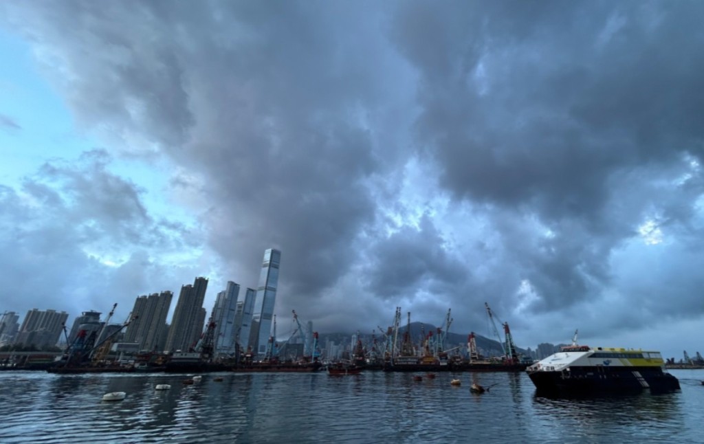
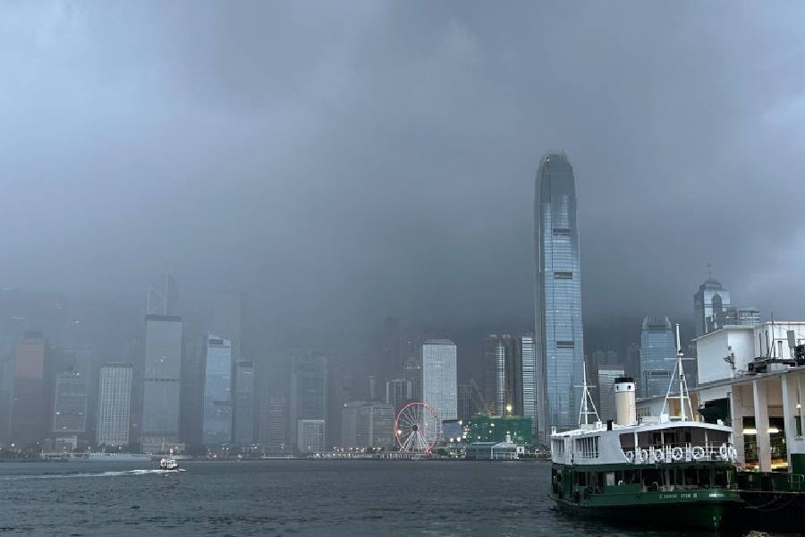
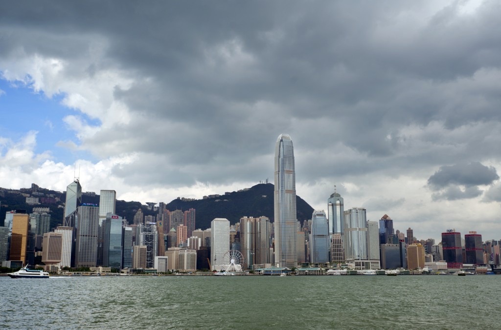
A broad trough of low pressure is currently bringing showers to the Guangdong coast and is expected to trigger unsettled weather early next week.
Multiple meteorological and artificial intelligence models predict that a potential low-pressure area may develop along this trough around the start of the school year on September 1 (Tue).
While models indicate the system could track across the South China Sea toward Taiwan or approach eastern Guangdong, forecasts regarding its exact path remain divided.
The Hong Kong Observatory updated its weather outlook today, stating that the broad trough is generating coastal showers.
Winds across Guangdong are expected to remain light on Saturday, bringing very hot conditions alongside a few showers, with urban temperatures forecast to peak at 33 degrees Celsius alongside isolated early thunderstorms.
As the summer break draws to a close, the weather is set to become more unstable early next week. On the first day of school on September 1, conditions are expected to begin with scattered showers and isolated thunderstorms.
Weather across southern China will gradually improve and remain very hot by midweek as a drier continental airstream moves in.
European model projects system entering within 400 kilometers of Hong Kong
According to the observatory's Earth Weather portal, forecast models from the European Centre for Medium-Range Weather Forecasts (ECMWF) show the low-pressure system forming east of Hainan Island near the Paracel Islands on September 1 before tracking slowly northeast.
The ECMWF model projects that the system will draw closer to Hong Kong on September 2, moving in an east-northeasterly direction as its outer rainbands begin to encompass the Guangdong coast.
It is forecast to make its closest approach to the city on September 3, positioning itself south-southeast of Hong Kong and entering within its 400-kilometer radius.
Furthermore, the European model indicates the system will make a hairpin turn across the South China Sea, reversing course toward the west-southwest on September 4 and heading back in the direction of Hainan. In contrast, several leading artificial intelligence forecasting models, including ECMWF AIFS, FengWu, FuXi, and Pangu, have not predicted the formation of this low-pressure system.
Multiple tropical systems active across Northwest Pacific as Saudel weakens inland
Beyond the potential development in the South China Sea, tropical cyclone activity remains elevated in surrounding waters.
The National Meteorological Center issued an extended forecast noting that while Tropical Cyclone Etau poses no threat to China, two additional tropical cyclones are expected to form across the northwest Pacific and the South China Sea over the next 10 days.
The Observatory also reported that a low-pressure area could develop over the northwest Pacific east of the Philippines over the next few days, tracking generally toward the seas east of Taiwan.
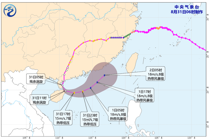
Regarding active systems, the Observatory noted that Severe Tropical Storm Saudel weakened over southern Zhejiang on Friday, moving westward at about 22 kilometers per hour, with further weakening expected as it tracks inland.
Forecast paths suggest Saudel will weaken into a tropical depression as it enters Jiangxi province on Saturday morning, before degenerating into a remnant low over Hunan province by Saturday night.
Additionally, probability track maps from the Observatory confirm that tropical cyclones Bang-lang and Etau over the northwest Pacific will have no impact on Hong Kong, Taiwan, or mainland China.