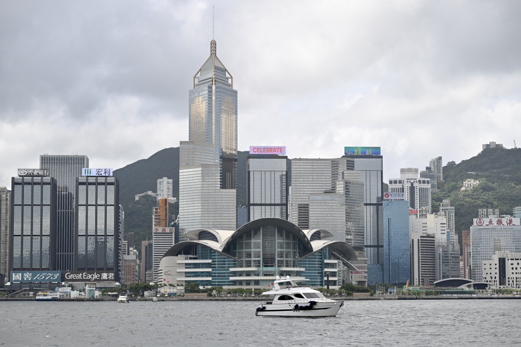
A broad area of low pressure is forecast to develop over the central South China Sea in the latter part of this week, bringing unsettled weather to the coast of southern China, according to the Hong Kong Observatory (HKO).
According to artificial intelligence forecasting models displayed on the Observatory's Earth Weather webpage, the FengWu AI model projects that the low-pressure system will begin forming in the Bashi Channel on Friday.
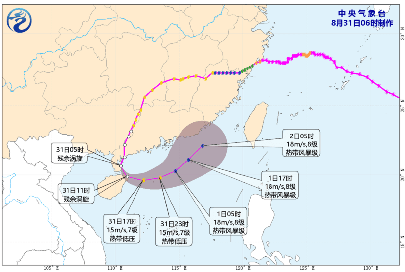
By Saturday, as the system tracks into the central South China Sea, it may develop into a tropical cyclone before heading westwards and sweeping within 400 kilometers of Hong Kong.
In its regular forecast issued on Sunday, the Observatory said winds along the Guangdong coast will remain light over the next couple of days, with generally fine weather expected midweek.
However, a northeast monsoon is forecast to affect the region during the middle and latter parts of the week as the broad low-pressure area gradually develops over the central South China Sea and tracks toward Hainan Island.
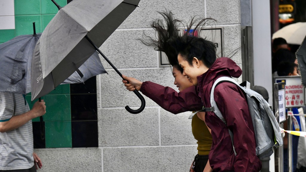
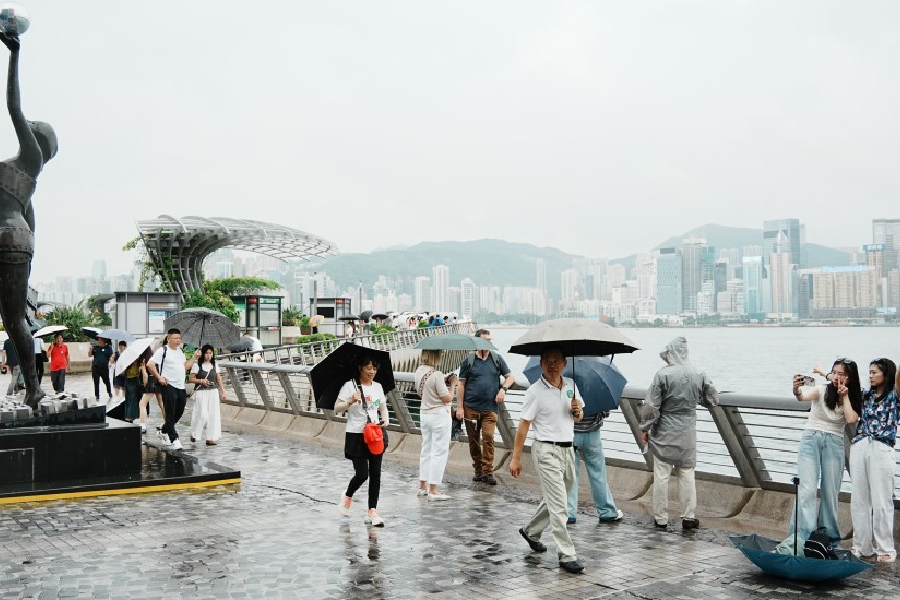
Under the combined influence of the low-pressure system and the northeast monsoon, the coast of Guangdong is expected to experience windier conditions and showers over the weekend.