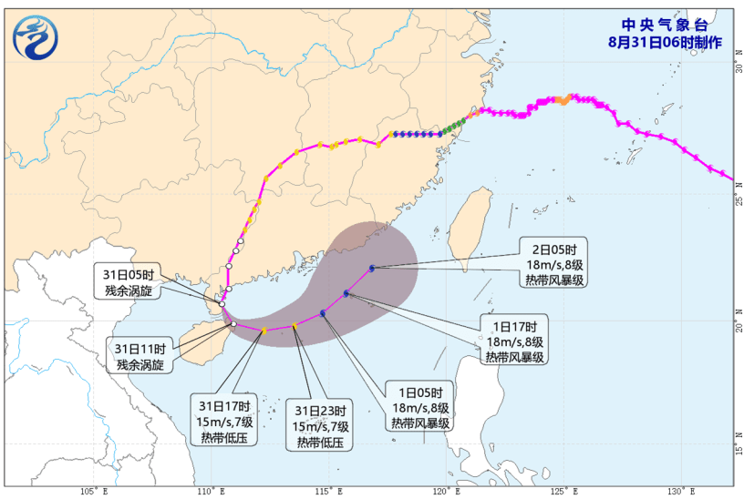
As Tropical Cyclone Dolphin departs, a temporary calm has settled over the Northwest Pacific. However, the Hong Kong Observatory (HKO) recently warned that a broad trough of low pressure will edge closer to the Guangdong coast by the middle of next week, potentially carrying an active low-pressure area that could develop into a tropical cyclone.
According to local forecasters, the northern part of the South China Sea currently exhibits warm sea surface temperatures. If atmospheric conditions align—specifically featuring weak vertical wind shear and strong upper-air divergence—the low-pressure area could strengthen into a tropical depression or even a more intense system.
However, international computer models remain divided on how this weather pattern will unfold.
Intense heat returns for the weekend
In its latest weather blog, the Observatory noted that while heavy showers affected parts of the Pearl River Estuary early on Saturday, conditions are changing.
As the southwest airstream weakens and an upper-air disturbance moves away, temperatures across the region are set to climb again, bringing a return of very hot weather over the weekend and into the early part of next week.
Global computer models split on storm development
Meteorological agencies worldwide are currently producing vastly different forecasts for the potential low-pressure system, creating significant uncertainty about its trajectory and strength.
The European standard computer model predicts that the potential tropical cyclone will form further west in the South China Sea and move westward toward the Leizhou Peninsula and eastern Hainan Island, with no storm activity in the East China Sea. Conversely, the European artificial intelligence model suggests a western formation but predicts the storm could interact with another low-pressure system in the East China Sea, ultimately steering it northeastward toward western Guangdong.
In contrast, the American computer model projects a more easterly formation in the South China Sea, forecasting a northwestern path toward eastern Guangdong and the Pearl River Estuary while keeping a separate system far out in the Northwest Pacific.
Meanwhile, the Japanese meteorological model remains the most conservative, predicting no tropical cyclone development in either the South China Sea or East China Sea and suggesting instead that the broad low-pressure trough will simply linger over the central South China Sea and the Guangdong coast.
Local forecasters explained that if two separate low-pressure systems develop simultaneously in the South China Sea and East China Sea, they will compete for atmospheric and ocean energy, which would limit their individual strengths.
Additionally, if the eastern system becomes stronger or positions itself closer to the South China Sea system, its steering currents could pull the weaker South China Sea system toward the northeast, adding further unpredictability to local weather. Wind and rainfall levels across the Pearl River Estuary late next week will depend on whether the low-pressure area consolidates in the northeastern or northwestern South China Sea.
Record-breaking heat and severe storms
This potential new development follows an extraordinary period of extreme weather in Hong Kong. The city was recently blanketed by the sinking air from the outskirts of Tropical Cyclone Dolphin alongside a persistent southwest airstream. This combination triggered a historic heatwave that shattered multiple long-standing temperature records.
On August 9, the Observatory headquarters registered a staggering peak temperature of 36.9 degrees Celsius, breaking the previous all-time high set in 1884. On the same day, the northern district of Sheung Shui reached 39.8 degrees, marking the highest temperature ever recorded in Hong Kong since the establishment of automatic weather stations in the 1980s.
Nights offered little relief, with the city recording a record-breaking high daily minimum temperature of 30.2 degrees on August 12.
Additionally, the headquarters logged nine consecutive days of temperatures reaching 33 degrees or above between August 5 and August 13, tying with 2009 for the longest consecutive run of very hot days in the month of August.
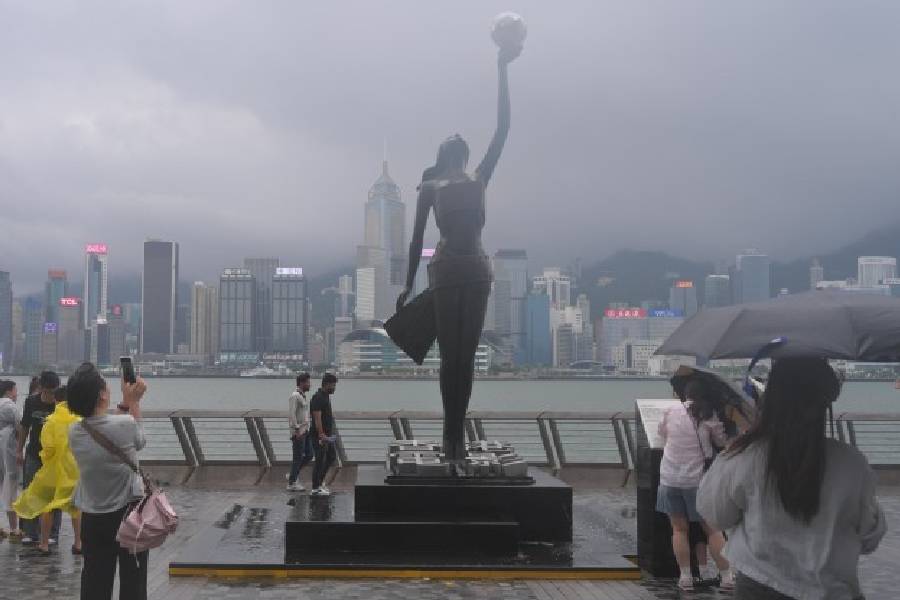
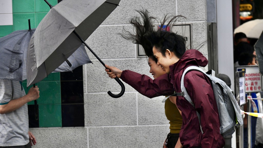
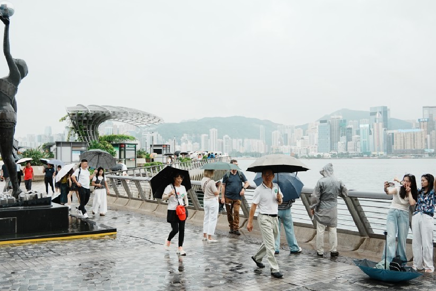
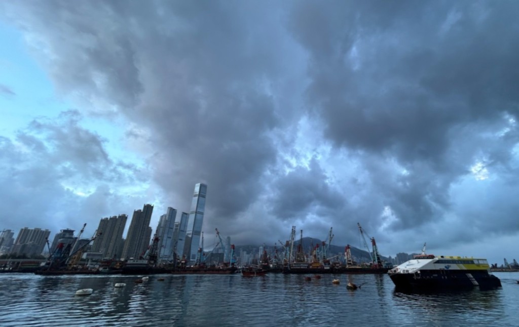
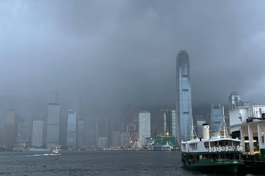
This intense heatwave finally broke on Friday with the arrival of an upper-air disturbance. A powerful squally thunderstorm band swept across the territory, bringing torrential rain and prompting the Amber Rainstorm Warning. Special localized heavy rain alerts were also triggered for outlying islands, including Lamma Island and Po Toi Island, which bore the brunt of the storm.
Most areas across Hong Kong recorded over 30 millimeters of rainfall during the morning, while southern islands saw accumulations exceeding 70 millimeters, bringing a dramatic and wet relief to the historic heat.