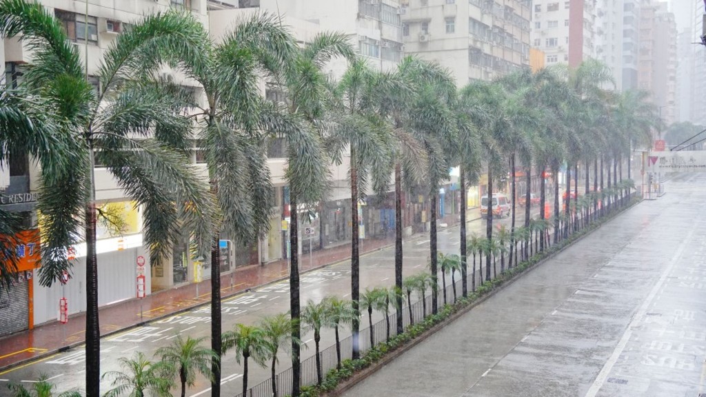
Typhoon Mitag is moving closer to the coast of eastern Guangdong, with the Hong Kong Observatory maintaining the Strong Wind Signal No. 3 for most of today. Strong winds are already impacting higher elevations, and conditions are expected to worsen across the region as the day progresses.
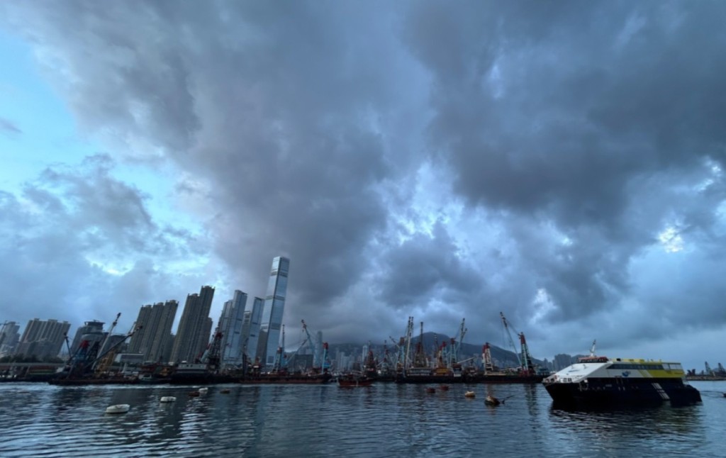
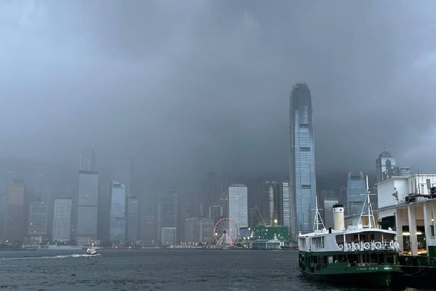
The outer rainbands of Mitag are gradually nearing the Pearl River Estuary, bringing squally showers and thunderstorms to Hong Kong. Heavier showers are expected later today, and residents are urged to stay alert to changing weather conditions.
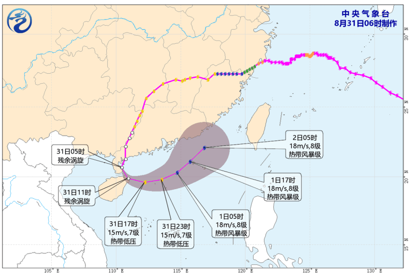
According to the latest forecast, Mitag is expected to make landfall in eastern Guangdong this evening. Influenced by the northeast monsoon, the typhoon will shift to a westerly path, passing roughly 100 kilometers north of Hong Kong while gradually losing strength. The Observatory will monitor Mitag’s weakening rate, the proximity of its gale-force winds, and local wind changes to determine if a higher tropical cyclone warning signal is needed tonight.
Rough seas and swells are anticipated, posing dangers along the coast. The public is advised to avoid shorelines and refrain from water sports until conditions stabilize.