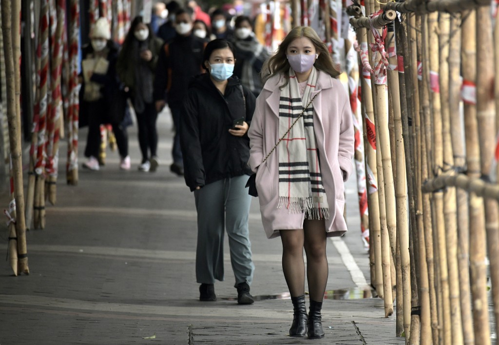
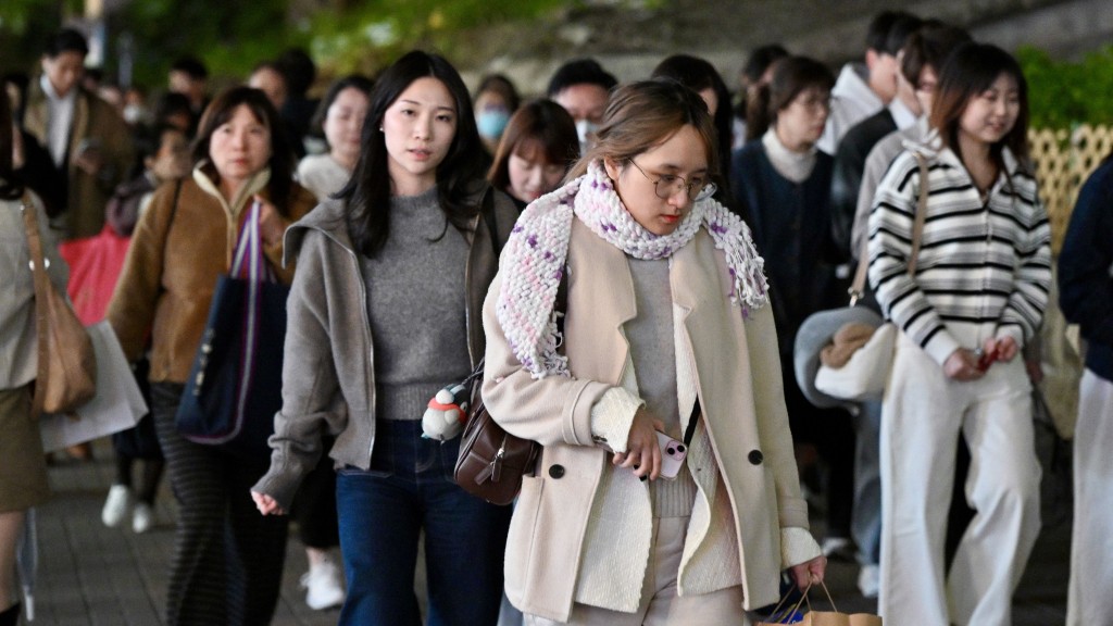
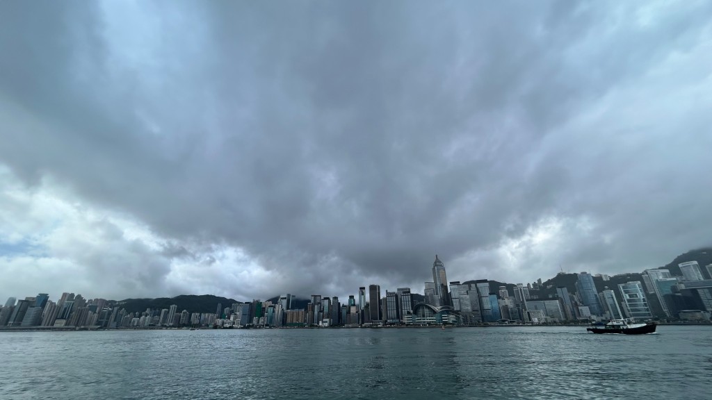
Hong Kong woke to its coolest morning this autumn at 17.5 degrees, but the Observatory says the chill will last only days before the mercury climbs back to 29 degrees next week.
The short-lived breeze follows a cold front that swept across the Guangdong coast last night, bringing dry, sunny weather and strong northerly winds under a northeast monsoon.
Speaking on a radio program this morning, acting senior scientific officer Lam Hok-yin attributed the temperature swings to the limited strength of cold air during autumn.
Early November falls in late autumn rather than winter, he explained, a period when the northeast monsoon over southern China is still relatively weak, with the cool spell lasting just two or three days.
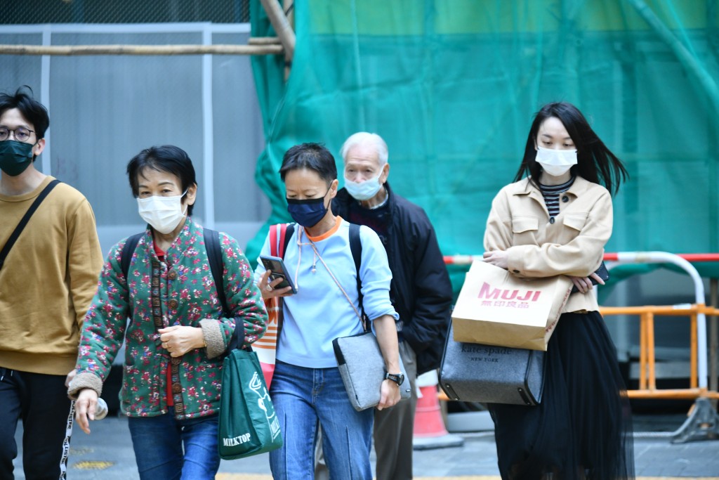
He also warned of a "wind chill effect" that makes residents feel colder than the actual temperature on windy days, advising them to carry a jacket when heading out.
As for possible showers later this week, Lam said they were due to an upper-air disturbance — a separate system from the low-level monsoon.
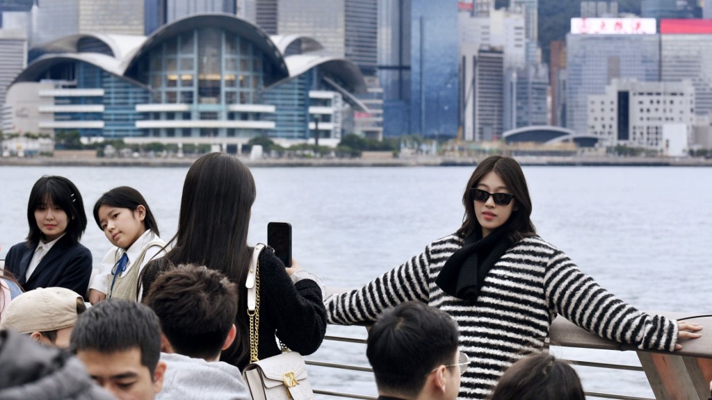
Looking ahead, Lam said a super El Niño — among the strongest since 1950 — and global warming will likely bring the city a normal or warmer winter with flip-flopping weather and more rain than usual.
It is reported that Hong Kong earlier logged its warmest October since records began in 1884.