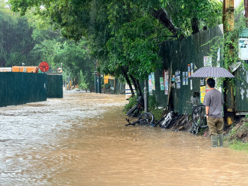
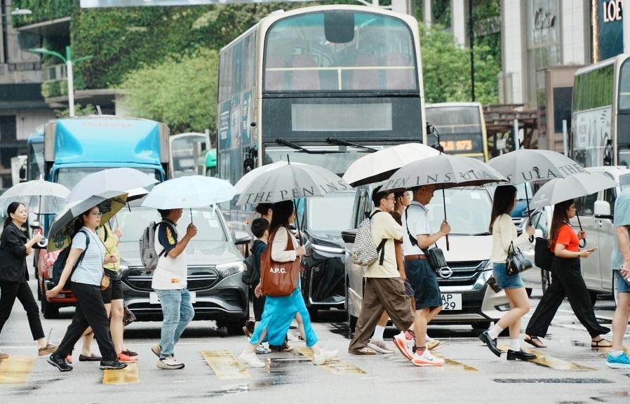
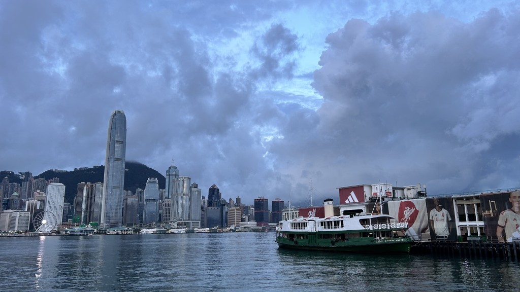
Hong Kong’s rainfall so far this month has already exceeded the normal total for July, with a potential tropical cyclone expected to approach the city this weekend and bring another spell of heavy rain, a meteorologist said on Tuesday.
Hong Kong Meteorological Society spokesman Leung Wing-mo attributed the unusually wet weather to a broad trough of low pressure that has lingered over southern China and the northern South China Sea.
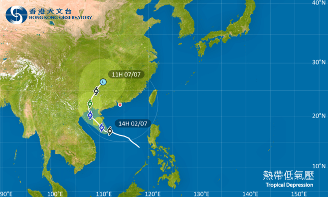
Speaking on a radio program, Leung said the weather in June and July had been somewhat unusual. Early July is traditionally marked by more settled and sunny conditions, but this year the city was indirectly affected by Tropical Cyclone Maysak, which formed over the South China Sea before making landfall in Guangxi.
Combined with the persistent trough, the system brought frequent rain, pushing the accumulated total above the normal monthly average with about one-third of July still remaining.
Whether rainfall will ease in the coming days will depend largely on how quickly the trough weakens, Leung said.
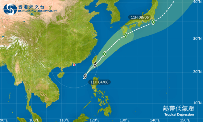
He traced the broad weather system to Super Typhoon Bavi, which earlier affected Fujian and Zhejiang. After the storm made landfall and weakened, a trough formed over the mainland and remained in the region for about eight to 10 days.
Leung said the system had covered a vast area, with cloud and rain bands extending from Guangxi through Shanghai and into northern China, bringing rainstorms to many parts of the country.
However, he stressed that a trough only provides the basic atmospheric conditions for rain. The precise location and intensity of individual downpours remain difficult to predict.
After a period of heavy rain, the atmosphere “needs to breathe and catch its breath,” allowing brief spells of sunshine to emerge before showers return, he said.
Moisture can also become concentrated over one area during a downpour, reducing the chance of rain in nearby districts. While areas close to hills are generally more prone to rain, the distribution of showers can still vary widely, according to Leung.
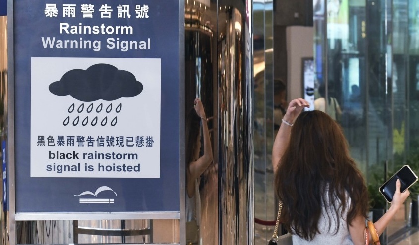
Leung cited June 18, when the Black Rainstorm Warning was issued twice in one day, with much of the heaviest rainfall concentrated over the New Territories.
He said the prolonged presence of the trough over southern China and the South China Sea could also be viewed in the context of climate change.
Weather systems have shown a tendency to move more slowly as the climate warms, allowing extreme conditions to persist for longer, Leung said.
Rain-bearing systems that remain over the same area can produce prolonged downpours and flooding, while stalled dry-weather patterns can contribute to extended droughts and wildfires in places such as Europe, California and Canada.
The broad trough is expected to gradually weaken, bringing fewer showers to Hong Kong over the next few days.
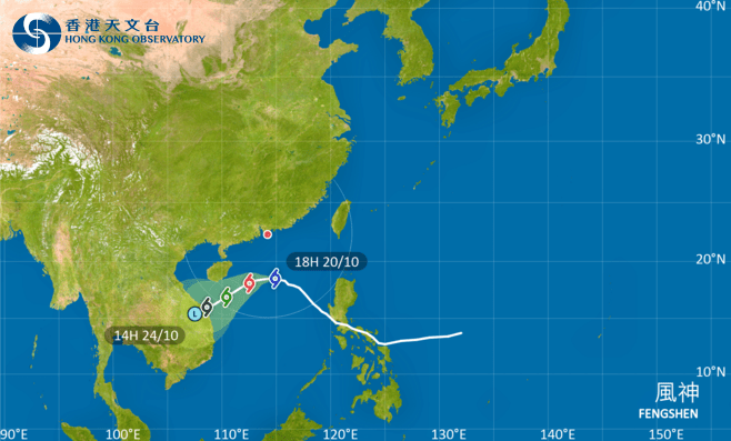
However, another weather system could approach during the weekend. Leung said projections from several computer models indicated that a tropical cyclone could develop and move relatively close to Hong Kong.
Although the system is not expected to become particularly intense or cause major wind damage, it could bring substantial rainfall and another prolonged period of unsettled weather.
Leung cautioned that the tropical cyclone had yet to fully form and that its eventual strength and path remained uncertain.