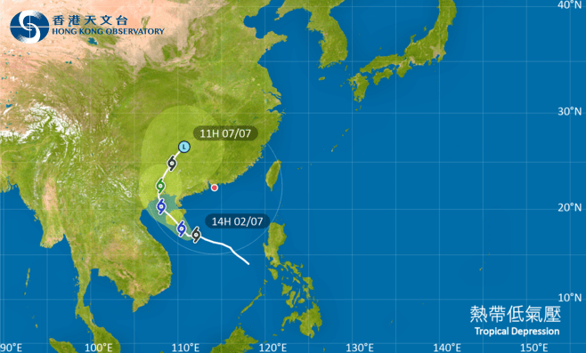
The No 1 Standby Signal will remain in force today as a tropical depression over the central part of the South China Sea gradually intensifies, the Hong Kong Observatory said.
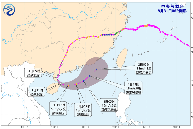
At noon, the tropical depression was centered about 620 kilometers south-southwest of Hong Kong and was forecast to move west-northwest at about 18 kilometers per hour, generally toward Hainan Island.
Acting Senior Scientific Officer Lam Hok-yin said the Observatory will assess whether it is necessary to issue the Strong Wind Signal No 3 tomorrow, depending on changes in the intensity of the tropical cyclone, the distance between its strong wind area and the Pearl River Estuary, and local wind conditions.
Lam said the tropical depression remained relatively weak this morning, with satellite images showing that convection was mainly concentrated on its southern side.
Scattered showers are affecting the coast of Guangdong and nearby waters, while the tropical depression is expected to remain at least 500 kilometers away from Hong Kong.
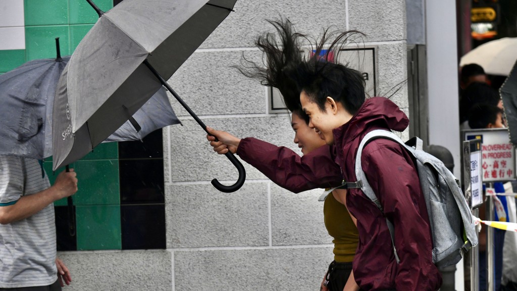
Some high ground in Hong Kong saw occasional strong winds this morning. As the tropical cyclone moves closer to the coast of southern China tomorrow, winds over offshore waters and high ground are expected to strengthen.
The Observatory said local weather will become gradually more unsettled, with more squally showers expected.