Despite Lixia — one of the solar terms in the Chinese calendar representing the Start of Summer — arriving on Tuesday (May 5), Hong Kong is bracing for its third cold front since late April. Former Observatory assistant director Leung Wing-mo noted that cold fronts in May are not out of the ordinary, but warned that the developing El Niño is expected to drive temperatures significantly above average in the latter half of the year.
Data shows that three cold fronts have crossed Hong Kong’s coast in just 11 days since April 23. While cold fronts in May have occurred before — such as the one on May 11 last year when temperatures dropped to 21 degrees Celsius — this rapid succession is unprecedented in the past decade.
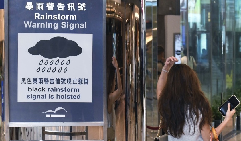
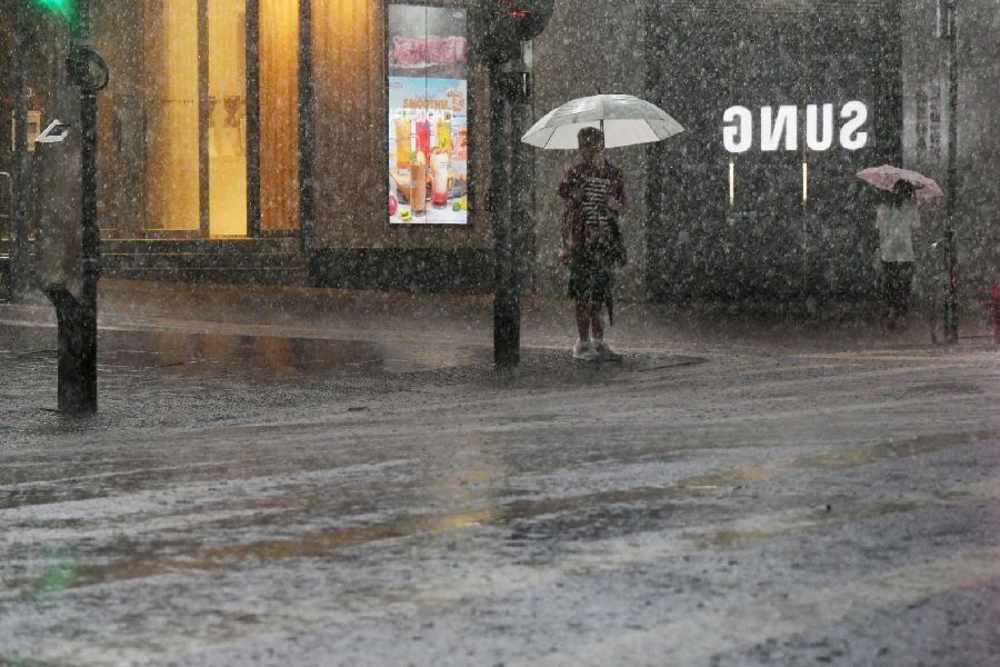
Leung explained that cold fronts can reach Hong Kong in May and June due to high-pressure systems over North China pushing cold air south. When the lingering northern air clashes with the developing summer monsoon over the South China Sea, it often triggers heavy rain, thunderstorms, and even hail. While their intensity varies, Leung noted that May cold fronts are climatologically normal.
The latest cold front is set to arrive tonight, with temperatures expected to drop to 21 degrees Celsius on Monday before rebounding to 23 to 24 degrees. Leung believed this front to be mild and unlikely to push temperatures below 20 degrees.
As for why the weather remains cool ahead of the Lixia, he noted that El Niño has yet to fully mature. Once fully developed, warmer sea surface temperatures will drive atmospheric warming, bringing significantly above-normal heat to Hong Kong in the latter half of this year.