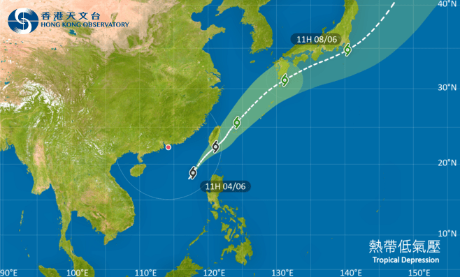
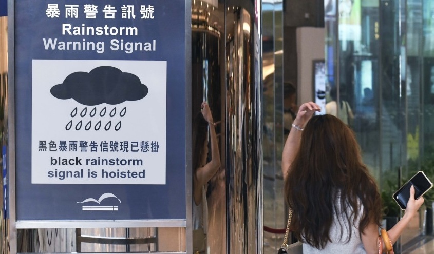
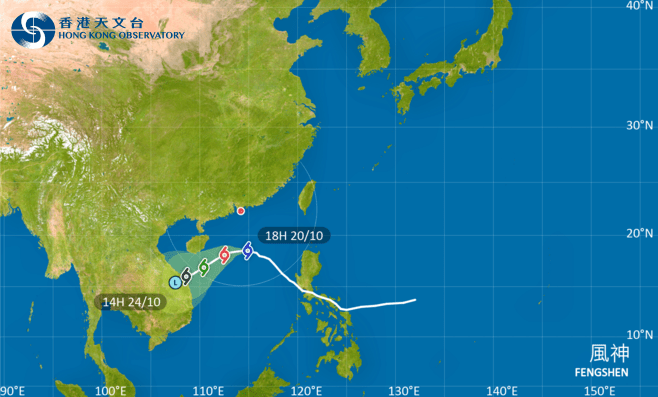
The chance of issuing a tropical cyclone warning signal remains low after an area of low pressure over the northeastern part of the South China Sea intensified into a tropical depression, the Hong Kong Observatory said.
The tropical depression is now within 800 kilometers of Hong Kong and is expected to move northeast today and tomorrow, generally toward the vicinity of Taiwan.
However, the Observatory said the system is expected to remain about 500 kilometers or more from Hong Kong. It may develop slightly, but convection on its northern side is relatively weak.
Unless the tropical depression intensifies significantly or takes a track closer to the Pearl River Estuary, the chance of issuing a tropical cyclone warning signal is rather low, the Observatory said.
The Observatory said it will closely monitor the development of the tropical depression.
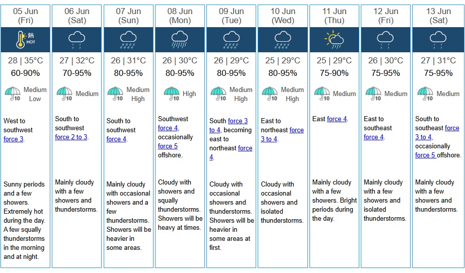
Under the influence of its associated subsiding air, parts of Hong Kong are expected to be extremely hot today and tomorrow. High temperatures may also trigger showers.
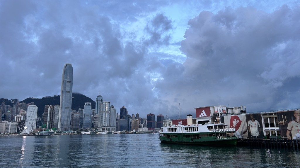
Winds over the coast of Guangdong are weak, while showers are affecting the coastal areas. In Hong Kong, parts of Lantau Island recorded about 10 millimeters of rainfall this morning.
The weather forecast for Hong Kong today is mainly cloudy with a few showers. There will be isolated thunderstorms at first, while it will be hot with sunny intervals during the day.
The maximum temperature will be about 34 degrees Celsius in urban areas and one to two degrees higher in the New Territories. Moderate southwesterly winds are expected.
Tomorrow will be extremely hot, with temperatures in the New Territories reaching 36 to 37 degrees. A few showers and thunderstorms are expected on Saturday, though it will remain very hot in some areas.
Showers will occur occasionally over the following two to three days, bringing some relief from the heat.