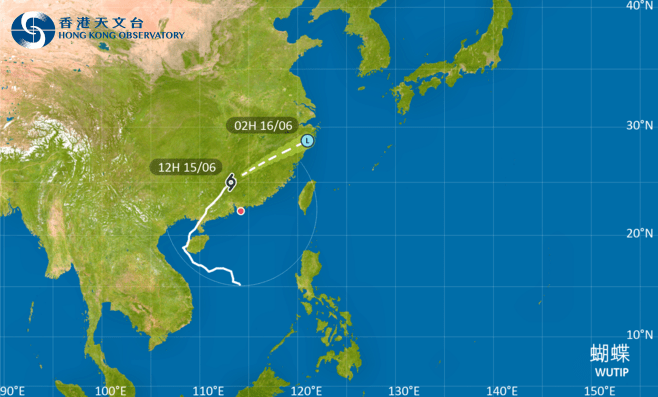
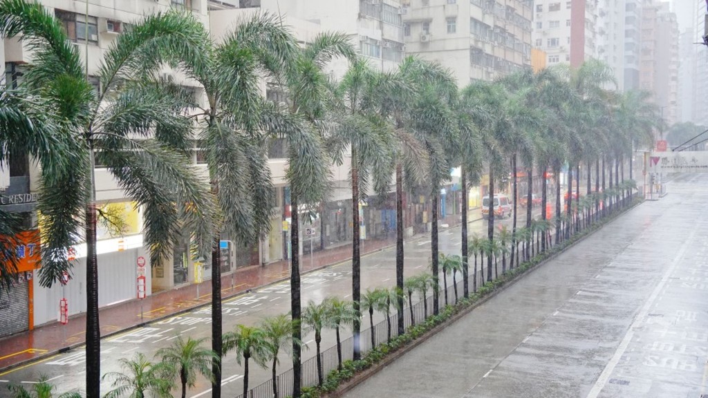
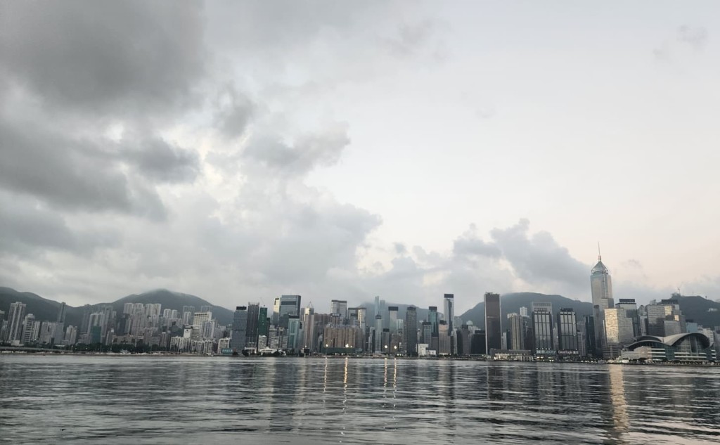
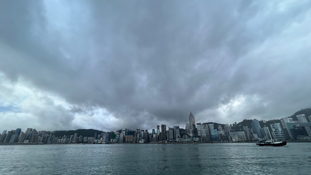
With the gradual departure of Tropical Depression Wutip, the Observatory will consider replacing the tropical cyclone warning signal with the Strong Monsoon Signal between 3pm and 6pm on Sunday.
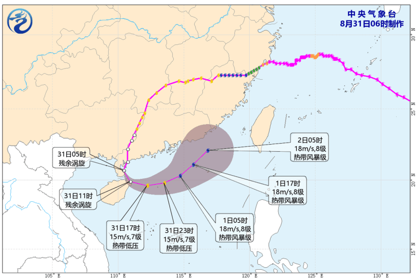
At noon, Wutip was estimated to be about 320 kilometers north-northwest of Hong Kong and is forecast to move northeast or east-northeast at about 38 kilometers per hour across the northern part of Guangdong, entering Jiangxi and weakening further.
The Strong Wind Signal, No. 3 is in force since 12.20 pm on Saturday (Jun 14).
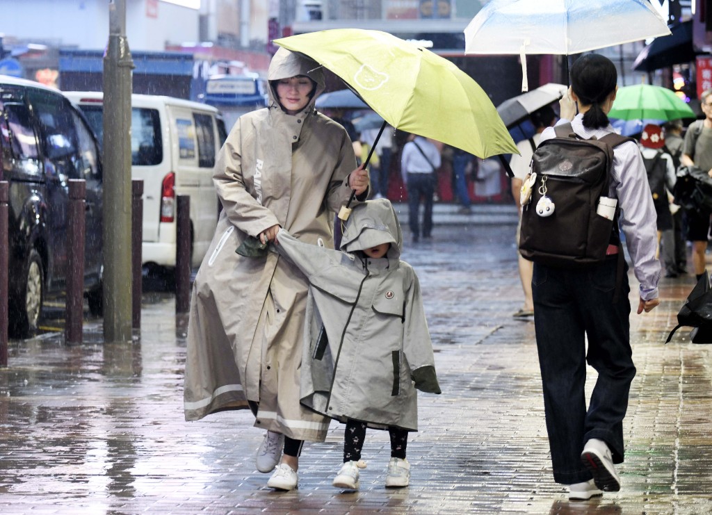
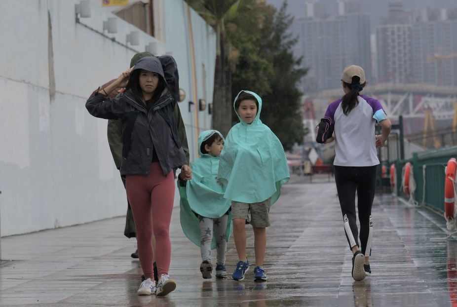
The forecaster said Wutip's outer rain bands are bringing squally showers to the coast of Guangdong. Under the influence of the southwesterly airstream to its south, winds over Hong Kong will still be strong this afternoon, occasionally up to gale force on high ground, but winds will moderate progressively.
In the past hour, the maximum sustained winds recorded at Ngong Ping,
Waglan Island and Green Island were 83, 61 and 56 kilometers per hour with maximum gusts exceeding 100, 69 and 68 kilometers per hour, respectively.
With the southwesterly airstream becoming active, there will be occasional heavy showers over the coast of Guangdong on Monday (Jun 16) and Tuesday (Jun 17).
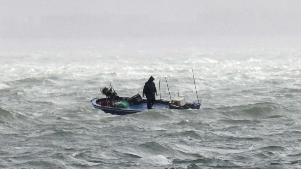
As the seas are rough with swells, the Observatory advises the public to stay away from the shoreline and not to engage in water sports.
(updated at 12.09pm)