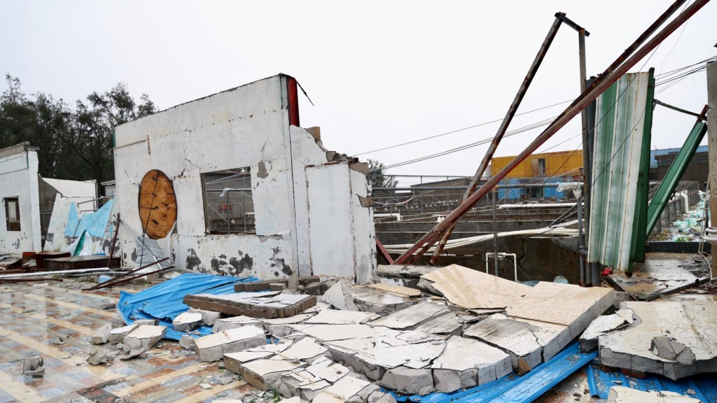
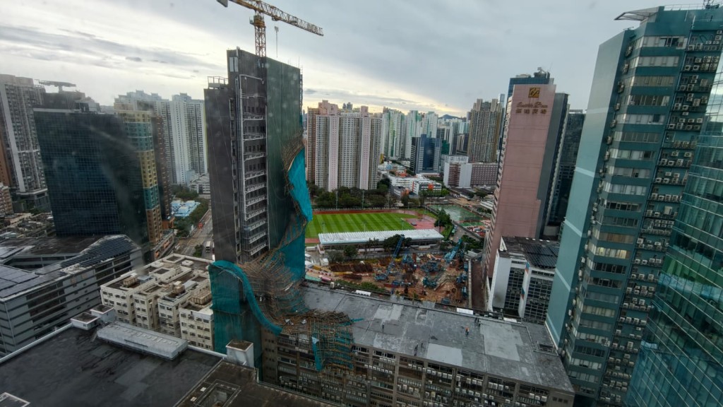
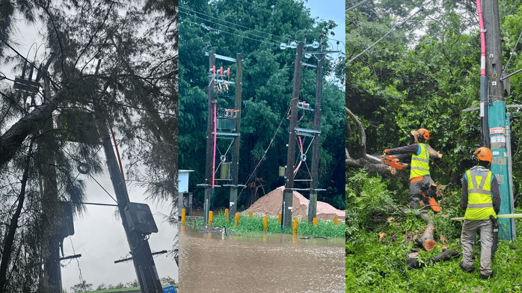
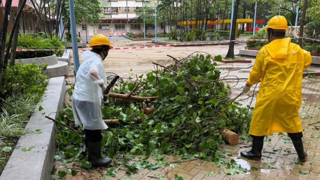
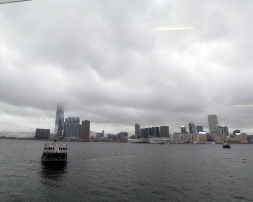
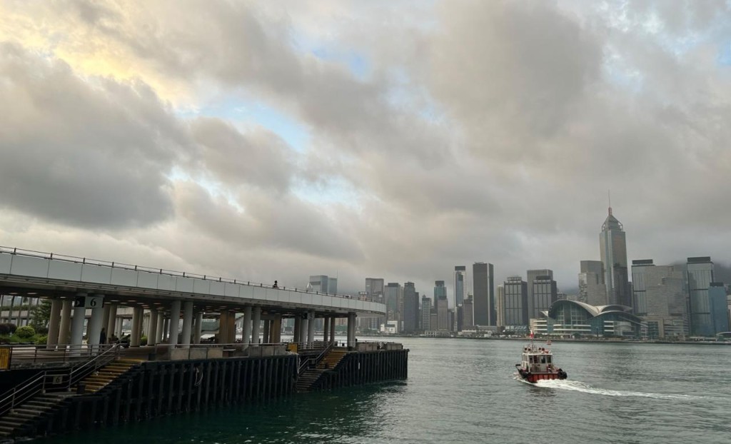
The Hong Kong Observatory kept the Increasing Gale or Storm Signal No. 9 in place for six hours as Typhoon Noul’s western eyewall swept close to the city, with forecasters noting its rare eastern landfall exposed northwest- to southwest-facing areas to the storm’s full force.
The weather watchdog raised the No. 9 signal early Sunday morning—the first issued this year—after Noul intensified into a severe typhoon on a track slightly further west than initially predicted.
In a weather blog reviewing the storm’s passage, forecasters highlighted that unlike recent major cyclones such as Mangkhut, Saola, and Ragasa, which approached from the west, Noul made landfall in Huidong County, Huizhou, to the city’s east.
Because tropical cyclones in the Northern Hemisphere rotate counterclockwise, this eastern trajectory left northwest- to southwest-facing locations directly exposed to the severe weather.
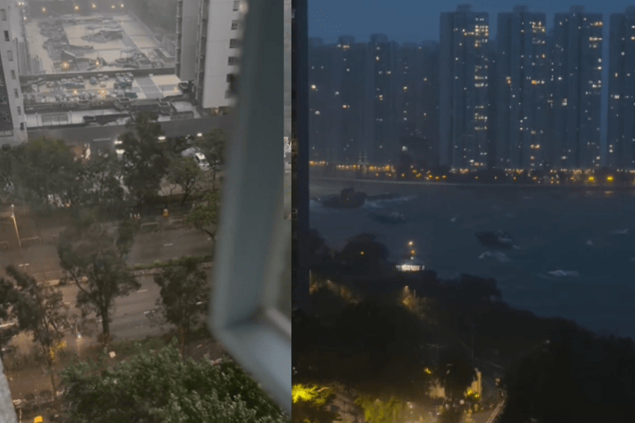
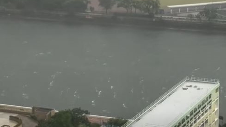
Hurricane-force winds battered the nearby Dapeng Peninsula, while gale-force winds hit Victoria Harbour. Higher ground saw occasional storm-force gusts.
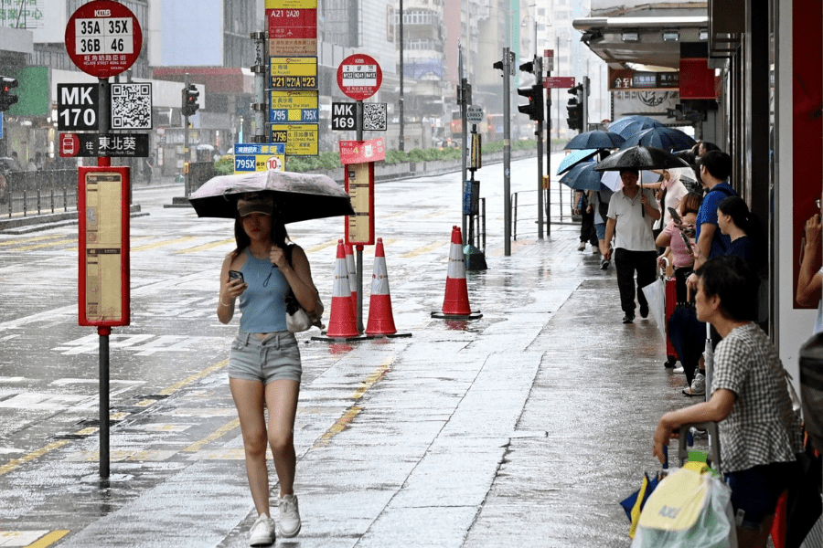
Heavy rainbands delivered more than 70 millimeters of rainfall across most of Hong Kong by noon, with parts of the New Territories recording over 140 millimeters.
As Noul moved inland over Guangdong and weakened, the Observatory replaced the No. 9 signal with the No. 8 Southwest Gale or Storm Signal at 7.10am, before downgrading it to the Strong Wind Signal No. 3 at 12.40pm.
Despite the cyclone’s departure, forecasters warned that outer rainbands will continue to bring squally showers, thunderstorms, and heavy downpours to Hong Kong through Monday morning. Rough seas and swells will also persist along the coast.
Members of the public are advised to remain vigilant, stay away from the shoreline, refrain from water activities, and pay close attention to the latest weather updates.