
Read More
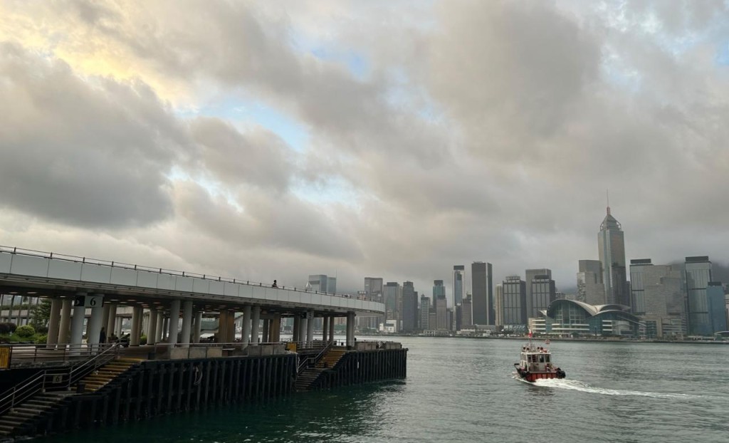
The Hong Kong Observatory will lower the Strong Wind Signal No. 3 to the Standby Signal No. 1 at 3.20pm on Sunday as Typhoon Noul continued to move inland over Guangdong and away from Hong Kong.
ADVERTISEMENT
SCROLL TO CONTINUE WITH CONTENT
The Observatory said it would cancel all tropical cyclone warning signals, or replace them with the Strong Monsoon Signal if necessary, when Noul no longer posed a threat to the city.
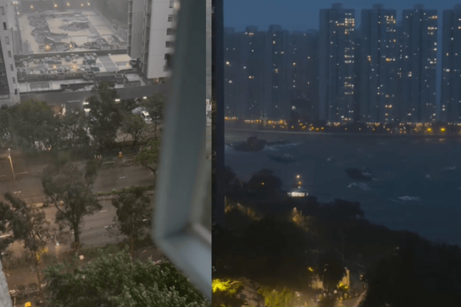
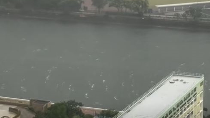
Despite the downgrade, the forecaster reminded the public that local winds would still be occasionally strong offshore under the influence of Noul, and may initially reach gale force on high ground.
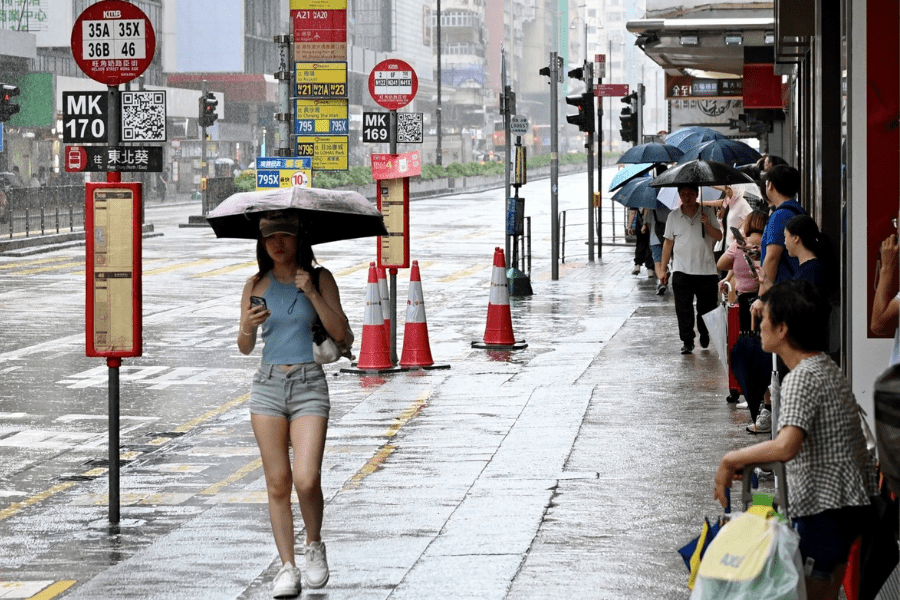
Noul’s outer rainbands are expected to continue bringing squally showers and thunderstorms to Hong Kong for the rest of Sunday and Monday, with heavy showers at times.
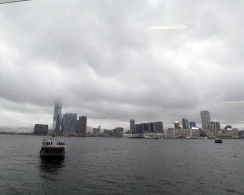
Seas will remain rough with swells, and members of the public were advised to stay away from the shoreline and avoid water sports.
The Observatory said the maximum sustained winds recorded at Waglan Island reached 52 kilometers per hour over the past hour, with maximum gusts exceeding 67 kilometers per hour.