Read More
The Hong Kong Observatory will issue the Strong Wind Signal No. 3 between 9am and 11am on Friday as Tropical Cyclone Mitag intensifies and moves closer to the eastern Guangdong coast. Under the combined effect of the northeast monsoon and Mitag, occasional strong winds will initially affect offshore waters and high ground, with winds expected to gradually strengthen along eastern Hong Kong coasts.
ADVERTISEMENT
SCROLL TO CONTINUE WITH CONTENT
According to the current forecast track, Mitag will make landfall along eastern Guangdong's coast between late Friday and early Saturday. The system will then turn westward toward the Pearl River Estuary under the monsoon's influence, though uncertainties remain regarding its exact landfall location and intensity. The Observatory will monitor whether higher tropical cyclone warning signals need to be issued based on Mitag's intensity changes and local wind conditions.
Mitag's outer rainbands are already affecting Guangdong's coast, with showers expected to increase gradually on Friday. Saturday will bring occasional squally showers and thunderstorms, with potentially heavy rainfall at times. The public is advised to stay away from shorelines and avoid water sports due to swells.


+7


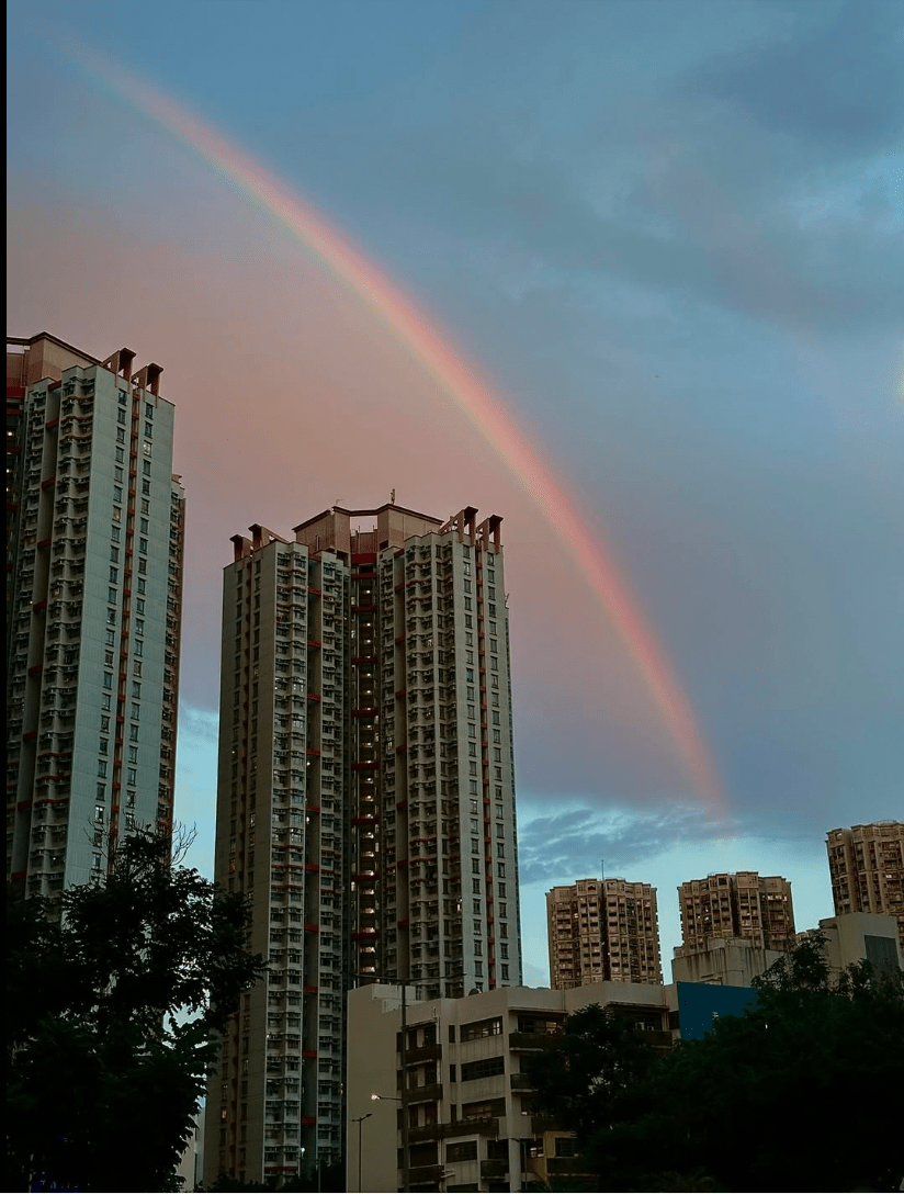


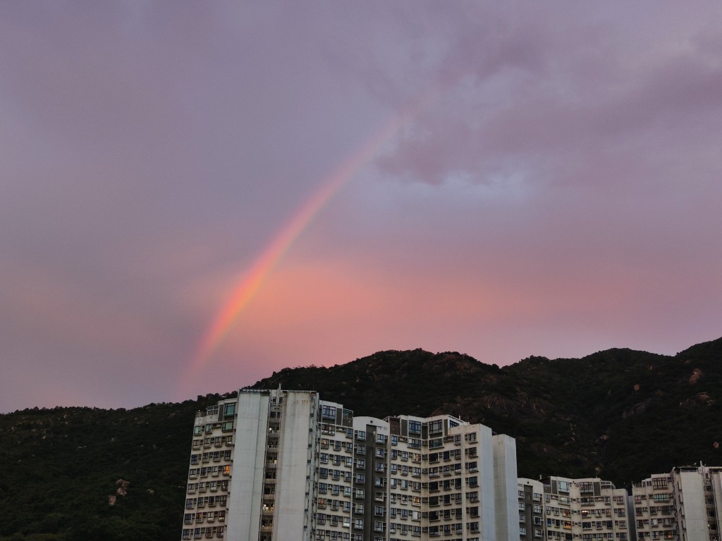
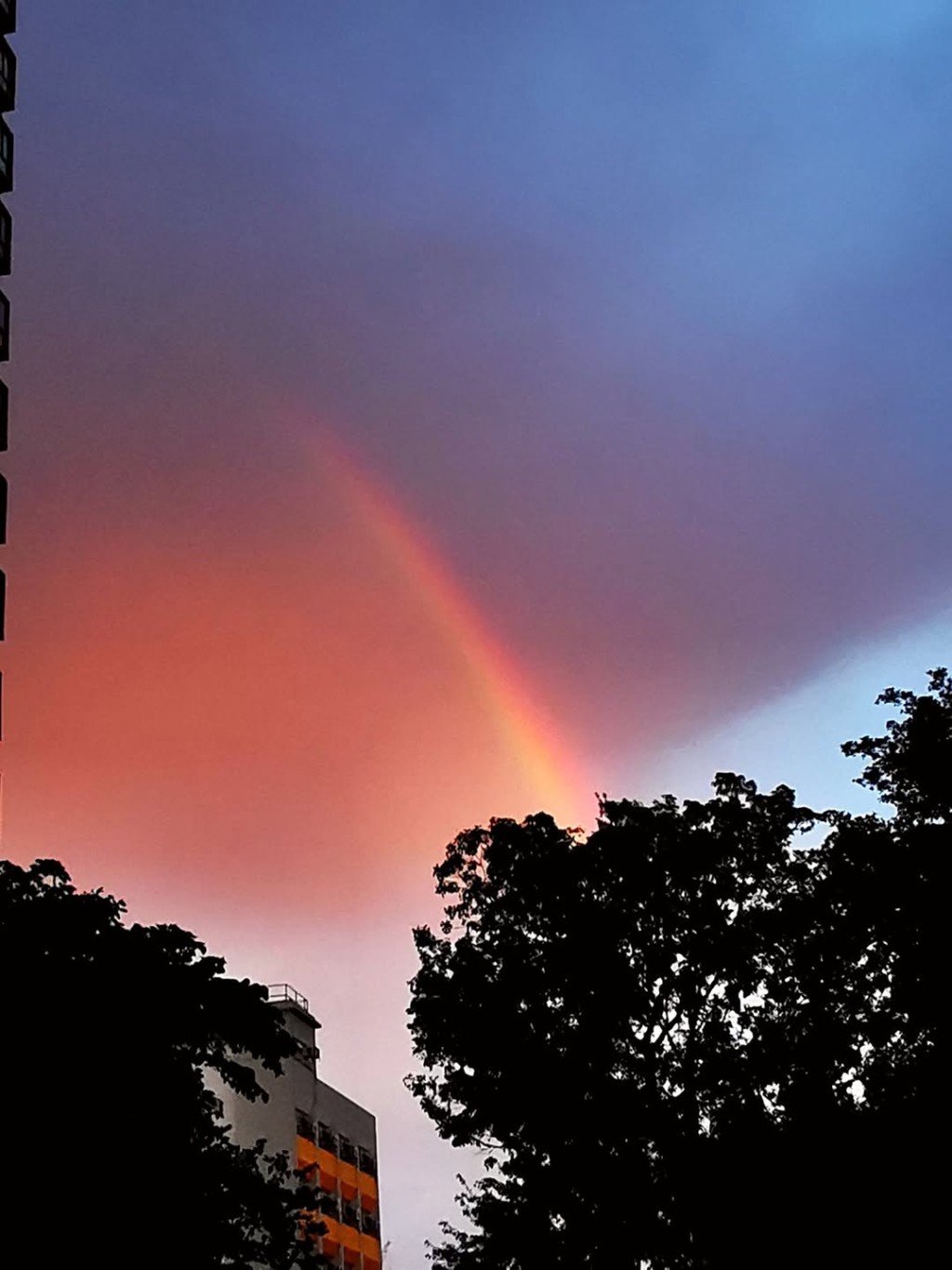
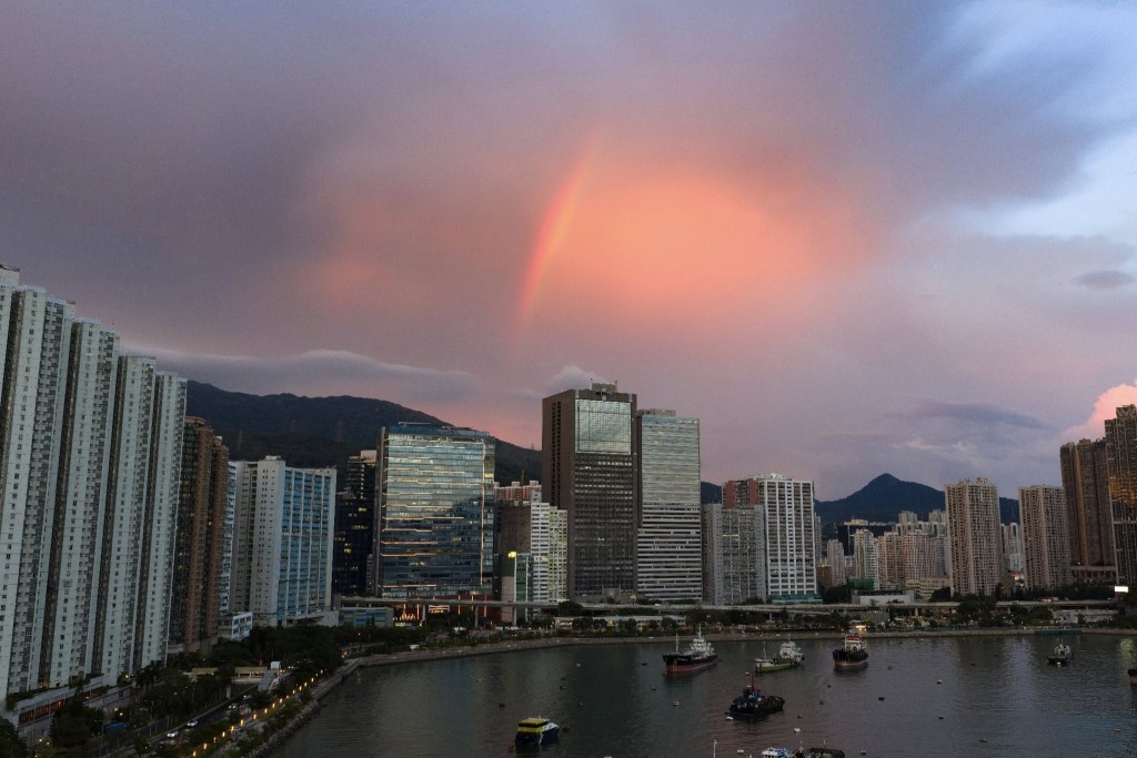
Despite the approaching storm, social media photos revealed beautiful rainbows appearing across multiple Hong Kong districts following Thursday's No. 1 typhoon signal. The "Community Weather Observation Scheme" Facebook group shared images of rainbows in Tai Po and Tin Shui Wai, while other users posted photos of striking fiery red skies over Hong Kong Island and the Northern District during evening hours, demonstrating that even typhoon conditions can create spectacular visual displays.