The outer subsiding air from Severe Typhoon Dolphin is bringing generally fine weather to Guangdong Province, but temperatures are soaring to extreme levels across Hong Kong. While another weak tropical system has developed in the region, weather officials expect it to pose little threat to the city.
Severe Typhoon Dolphin was centered about 170 kilometers west-northwest of Okinawa on Saturday morning. The storm is projected to move westward at approximately 10 kilometers per hour as it crosses the East China Sea.
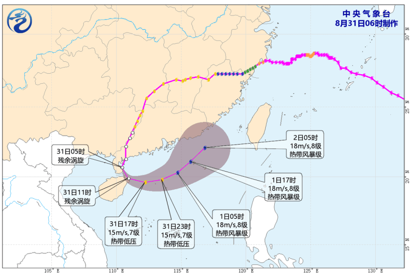
Meanwhile, a low-pressure area over the Gulf of Tonkin has intensified into a tropical depression. Located about 160 kilometers west-southwest of Haikou, this system is moving southeastward at around 15 kilometers per hour.
Weather forecasters predict it will weaken as it crosses Hainan Island today. Due to its compact circulation and significant distance from Hong Kong, the system poses no immediate direct threat.
The Hong Kong Observatory noted that the likelihood of issuing a Standby Signal No. 1 remains very low unless this tropical depression takes an unexpected path much closer to the Guangdong coast.
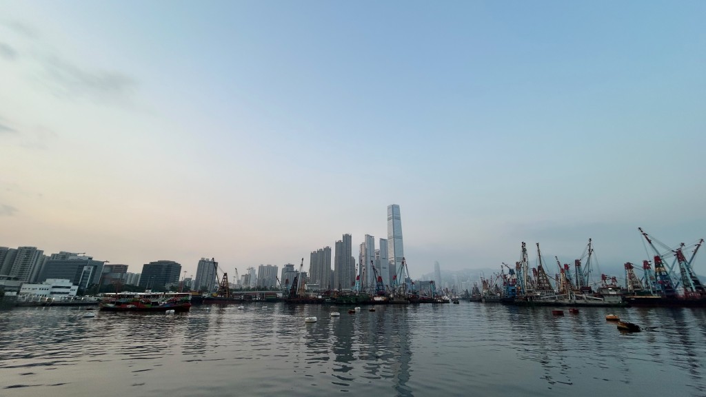
Locally, Hong Kong residents can expect mostly fine weather today, but daytime conditions will remain exceptionally hot.
Maximum temperatures in urban areas are expected to reach around 35 degrees Celsius, while the New Territories could see temperatures rise an additional two to three degrees.
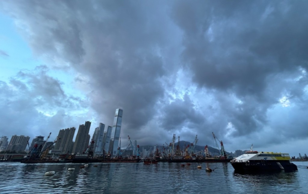
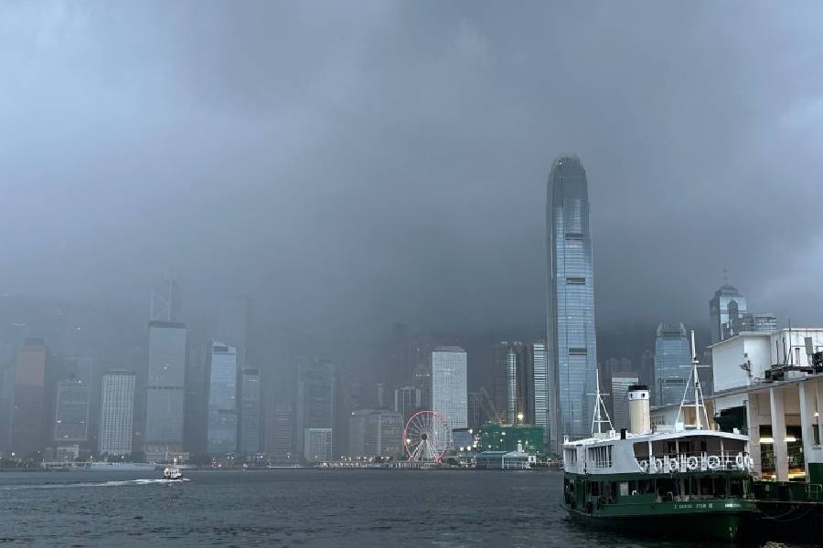
Isolated showers and thunderstorms are expected to develop later in the day. Winds will be moderate from the west to northwest, occasionally becoming strong on high ground later.
Extremely hot conditions are forecast to persist over the next day or two, with temperatures in some districts potentially reaching 37 degrees or above, accompanied by isolated showers.
The intense heatwave is expected to continue into the middle of next week.