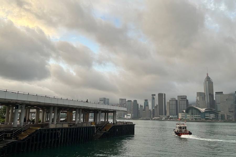
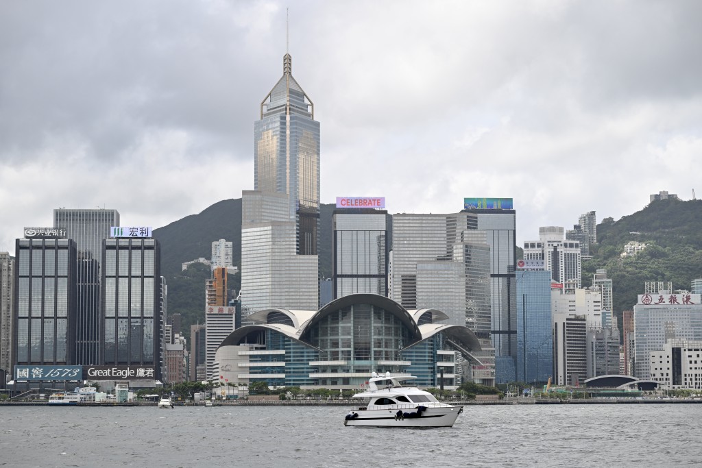
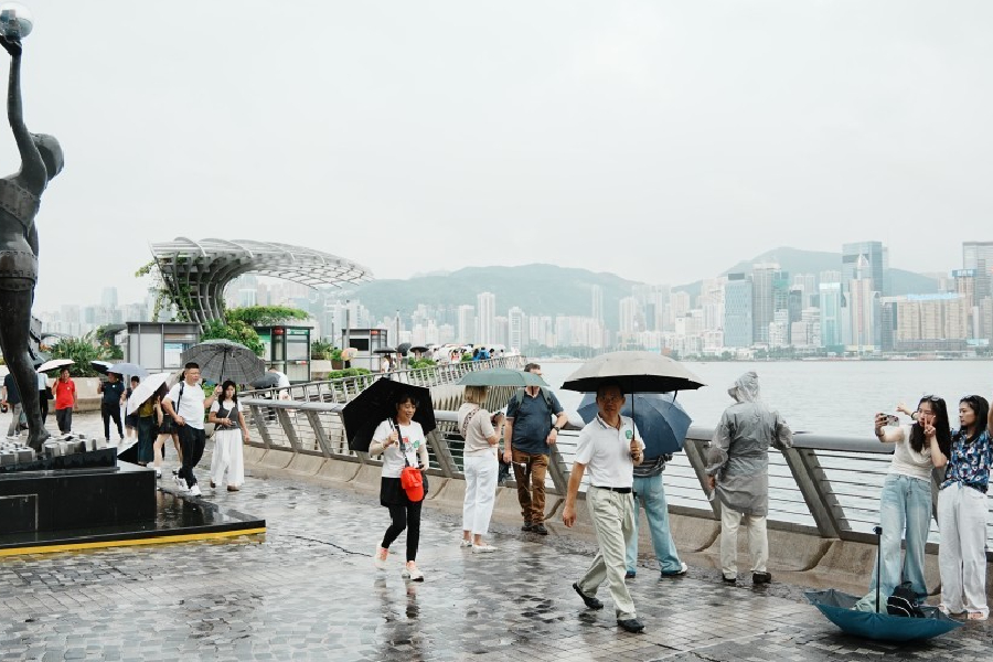
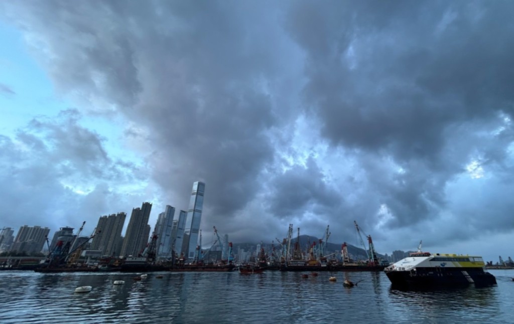
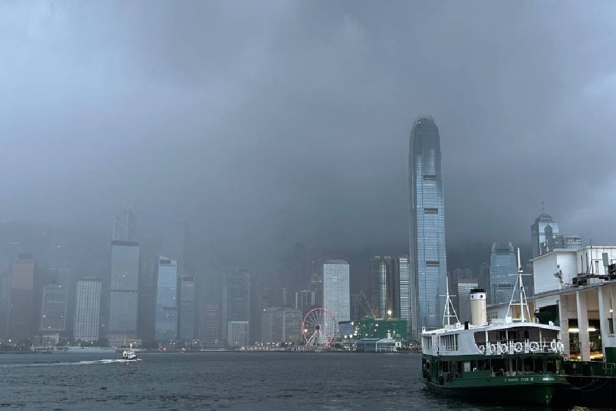
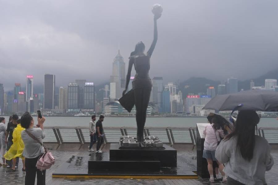
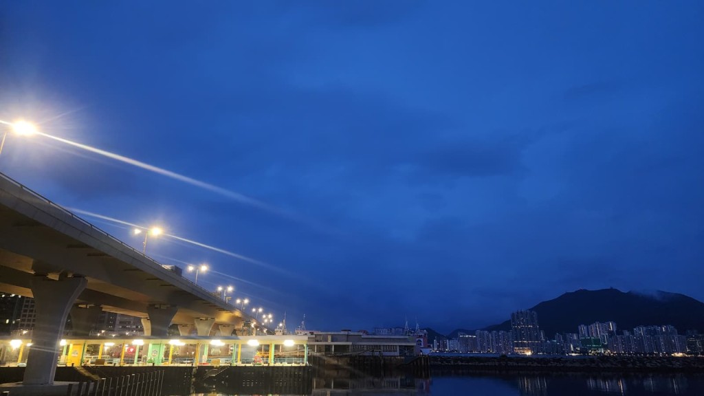
Hong Kong is facing a wet weekend as a broad trough of low pressure brings showers and thunderstorms to the region, while the Hong Kong Observatory (HKO) is closely monitoring a new low-pressure system developing near the Philippines that could approach the southern Chinese coast late next week.
The active trough of low pressure has already begun affecting the Guangdong coast and the northern part of the South China Sea this morning.
Several areas across Hong Kong recorded over 10 millimeters of rainfall within a span of just a few hours.
Conditions today will remain mostly cloudy with occasional heavy downpours and squally thunderstorms.
Temperatures are expected to range between 26 and 31 degrees Celsius, accompanied by moderate southerly to southwesterly winds that will occasionally be fresh offshore.
These unsettled, rainy conditions are expected to persist through Sunday and bring even more frequent showers on Monday (Jul 20).
According to the latest nine-day forecast, the weather will begin to improve by Tuesday (Jul 21) as the low-pressure trough weakens and an anticyclone aloft moves in to cover the coastal areas.
This shift will bring brief periods of sunshine and a noticeable reduction in rainfall. From Wednesday (Jul 22) through Friday (Jul 24), the skies over southern China will clear up, leading to increasingly hot weather.
Maximum temperatures are expected to peak at a sweltering 33 degrees Celsius by Friday.
However, the hot and sunny spell is expected to be short-lived due to the potential development of a new weather system.
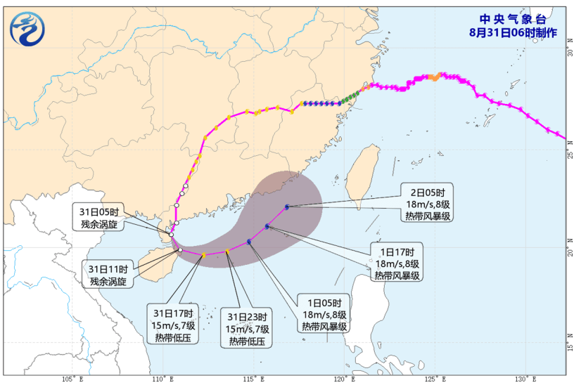
Meteorologists anticipate that a low-pressure area currently forming east of the Philippines has a high chance of entering the central and northern parts of the South China Sea by the latter half of next week.
While its exact trajectory and intensity are still uncertain, the system is generally expected to move toward the western coast of Guangdong.
As a result, Hong Kong's weather is projected to deteriorate once again by next weekend, bringing a return of frequent showers and unpredictable squally thunderstorms.