Hong Kong is set for intense heat later this week as the outer subsiding air from Tropical Cyclone Bavi pushes temperatures up to 38 degrees Celsius in some districts while heading toward waters east of Taiwan.
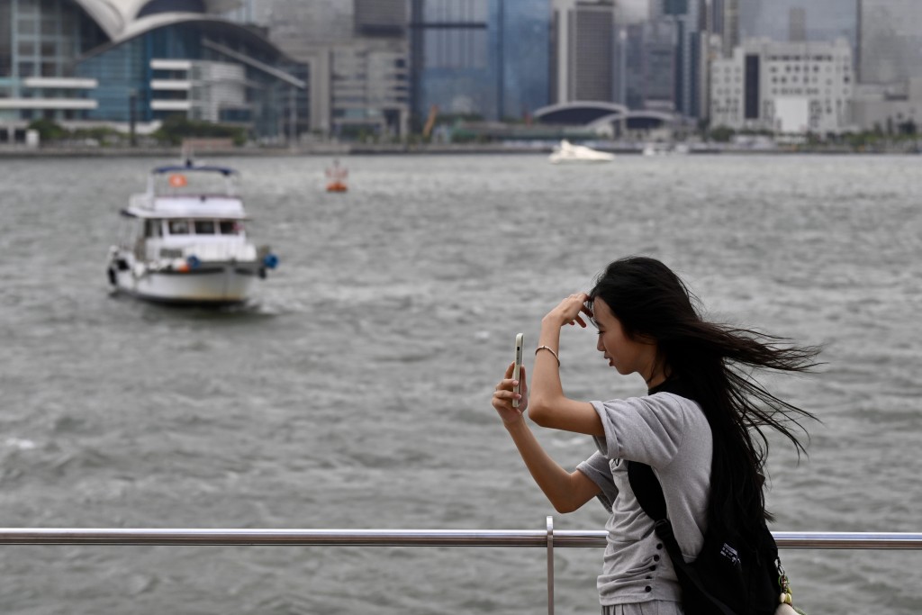
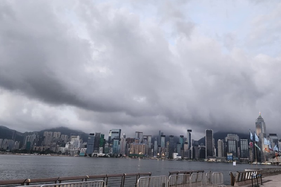
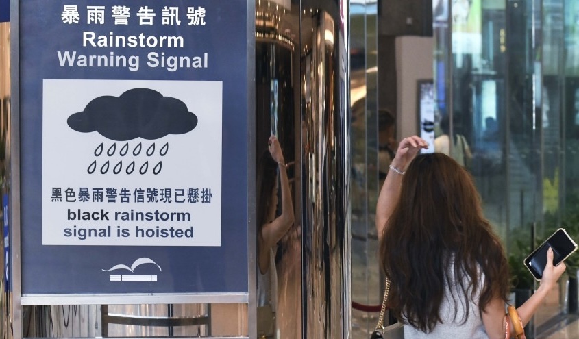
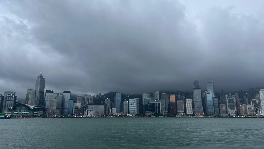
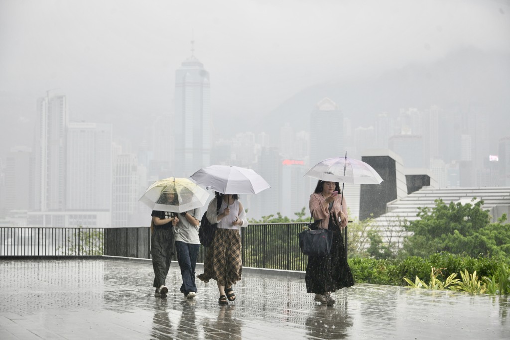
Before the scorching weather arrives, an active southerly airstream will continue to bring unstable conditions to the coast of southern China on Monday.
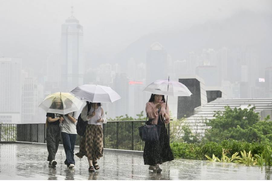
Showers will persist on Monday and become more frequent, with thunderstorms on Tuesday and Wednesday. Influenced by a broad trough of low pressure and upper-air disturbances, the region can expect showers and thunderstorms through midweek.
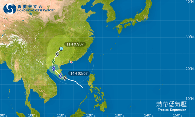
According to the National Meteorological Center, Bavi was centered about 445 kilometers southeast of Saipan, Guam as of 8am on Sunday. Maximum sustained winds near the center reached about 216 kilometers per hour, meeting the Observatory’s threshold for a Super Typhoon.
While Bavi is not expected to impact Chinese waters before Wednesday, it is forecast to track toward the sea east of Taiwan. The Observatory’s AI forecasting models Fengwu and Pangu predict that the typhoon will be closest to Taiwan on Friday.
In the nine-day forecast, maximum temperatures in urban areas will reach 34 degrees on Friday (Jul 10) and Saturday (Jul 11), bringing very hot weather during the day and localized showers and thunderstorms later.
On Saturday, temperatures in various districts of the New Territories, including Sha Tin, Tai Po, Sai Kung, Lau Fau Shan and Ta Kwu Ling, are expected to hit 36 degrees, while Sheung Shui and Shek Kong could see extremely high temperatures of 38 degrees.