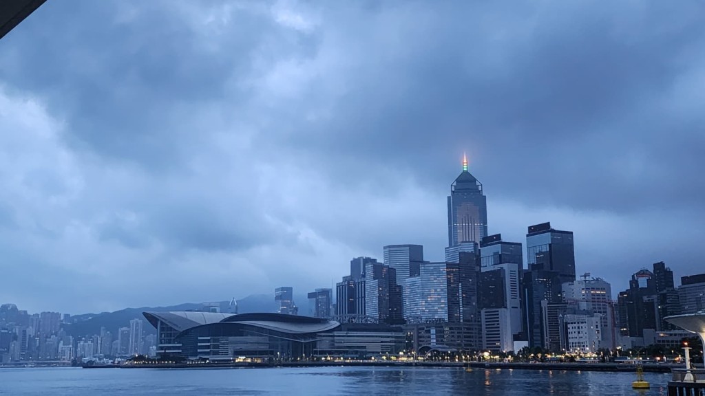
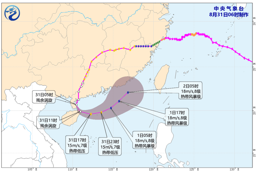
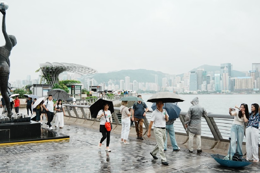
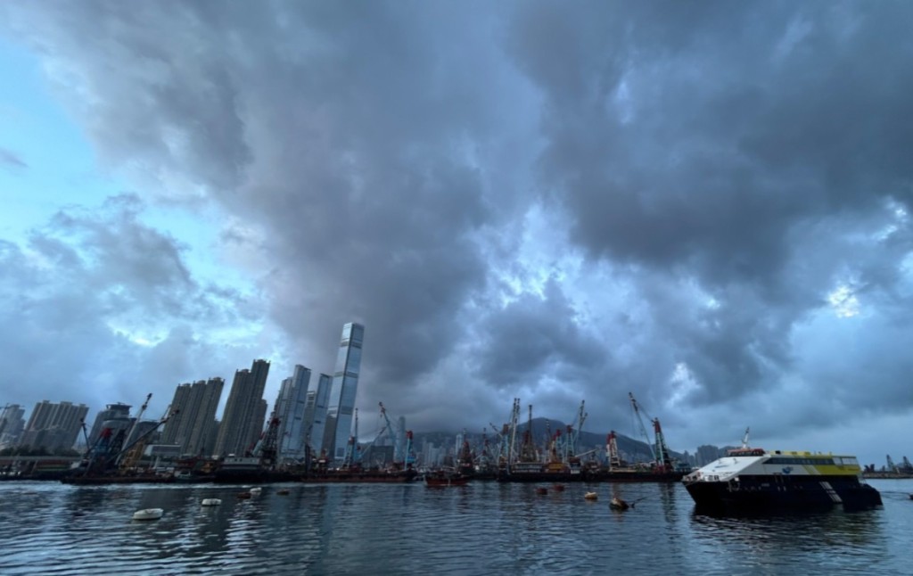
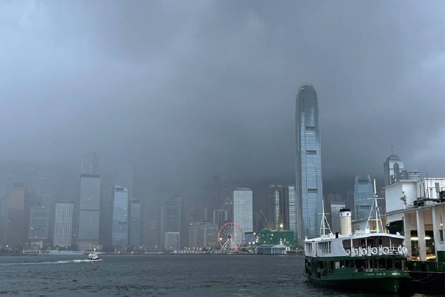
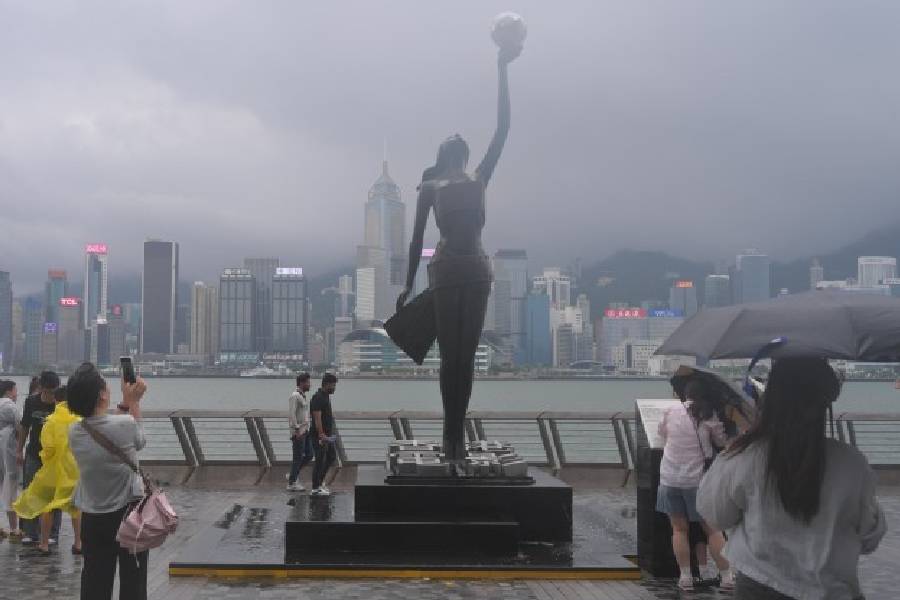
The Hong Kong Observatory (HKO) is closely monitoring a low-pressure system east of the Philippines that is expected to intensify into a tropical cyclone and potentially threaten Hong Kong and the southern Chinese coast by this coming weekend, bringing severe squalls, thunderstorms, and rough ocean swells.
The approaching storm
Meteorological officials announced on Tuesday that the system is projected to develop over the next couple of days before entering the northern part of the South China Sea later this week.
The storm is expected to move generally toward the Guangdong coastline over the weekend, though its exact intensity and precise landfall location remain highly uncertain.
If the system gathers enough strength to be officially classified as a tropical storm, it will be named Noul, following the recently named storm Haishen, in accordance with the naming conventions for the western North Pacific and the South China Sea.
Conflicting AI predictions
Advanced global forecasting technologies are currently presenting conflicting scenarios regarding the storm's exact trajectory.
According to the Observatory's artificial intelligence weather platforms, the European Centre for Medium-Range Weather Forecasts (ECMWF) AIFS model and traditional European supercomputers project a direct path toward Hong Kong, predicting the storm will come closest to the city on Sunday (Jul 26).
Conversely, other major AI prediction models, including Fengwu, Pangu, and Fuxi, suggest a more northerly route, indicating a potential landfall between Xiamen and Fuzhou in Fujian province on Saturday.
Despite these distinct disagreements in the ultimate destination, meteorologists note that all major forecasting models have shifted their projected tracks slightly northward compared to predictions made just a day prior.
Flood risks and local weather
Even if the storm takes an easterly track and makes landfall further up the coast—a scenario that typically lessens the destructive wind impact on the city—experts strongly caution against public complacency.
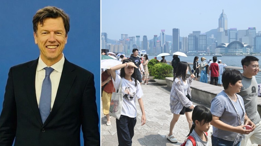
Spokesman for the Hong Kong Meteorological Society Leung Wing-mo warned during a morning radio broadcast that the extensive rainbands associated with the storm will inevitably sweep across the territory, guaranteeing significant and potentially hazardous rainfall for Hong Kong regardless of the cyclone's ultimate wind strength.
Weekend outlook
In the days leading up to the weekend threat, residents can expect a brief transition in the weather.
The HKO expects local showers to gradually diminish over the next two to three days as a subtropical ridge builds over the Guangdong coast, replacing the current cloudy conditions with sunny and very hot weather.
However, conditions are forecast to deteriorate rapidly from late Saturday into Sunday, with the return of unstable weather, widespread squally showers, thunderstorms, and significant ocean swells as the regional weather system approaches.