
Read More


Morning Recap - September 16, 2026
23 mins ago






Night Recap - September 15, 2026
9 hours ago




Seven arrested over Kwai Chung illegal gathering
14-09-2026 12:33 HKT
The Hong Kong Observatory is set to issue the Strong Wind Signal No. 3 at 1.20pm on Saturday as Tropical Storm Noul continues its steady advance across the northeastern South China Sea toward the eastern coast of Guangdong while gradually gaining strength.
Outer rainbands associated with the storm are already impacting coastal areas, bringing an increase in squally showers and progressively strengthening local winds.
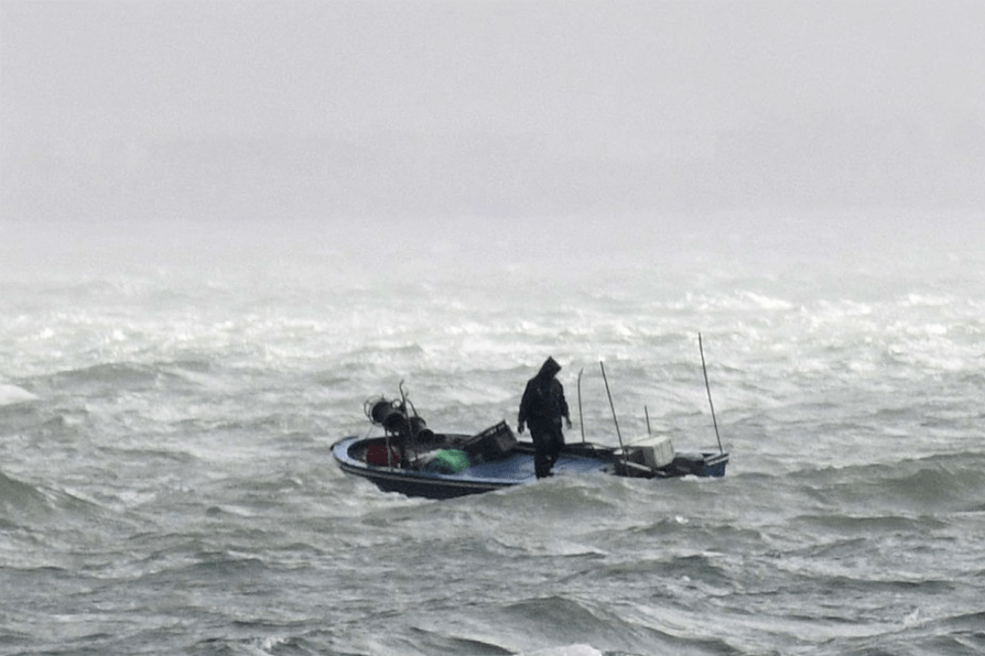
Weather officials warned that high swells and rough seas are expected, urging the public to stay away from the shoreline and immediately cease all water activities.
According to current forecast tracks, Noul is expected to make landfall between Huizhou and Shanwei tomorrow morning, bringing heavy squally downpours and thunderstorms to Hong Kong.
The observatory noted it will closely monitor the storm's landfall location, its proximity to the territory, the size of its gale force wind zone, and local wind conditions to evaluate whether a higher tropical cyclone warning signal will be required later tonight.