Read More


Night Recap - May 5, 2026
1 hour ago


Woman dies after fall from Wan Chai hotel, strikes female pedestrian below
04-05-2026 11:00 HKT
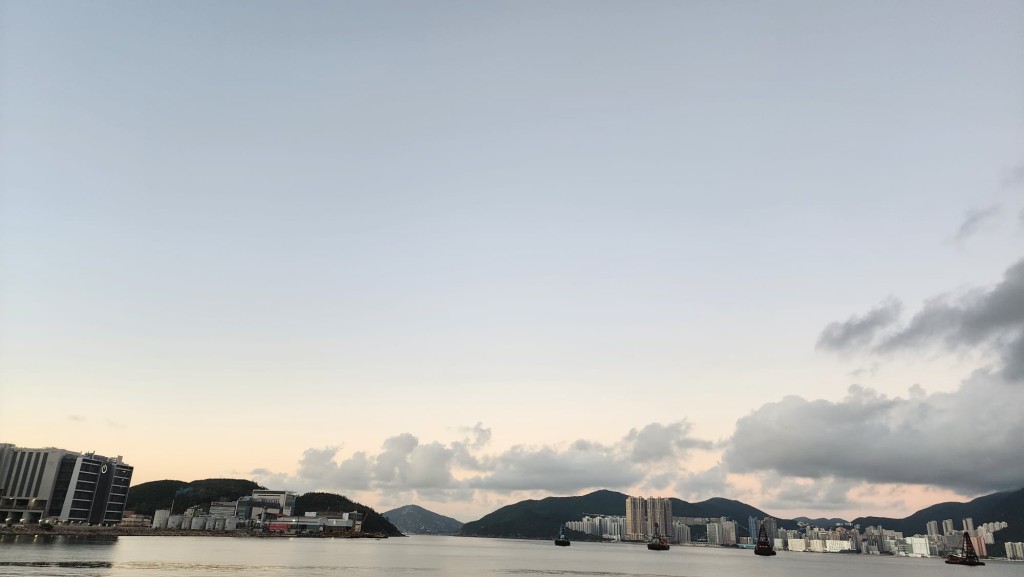
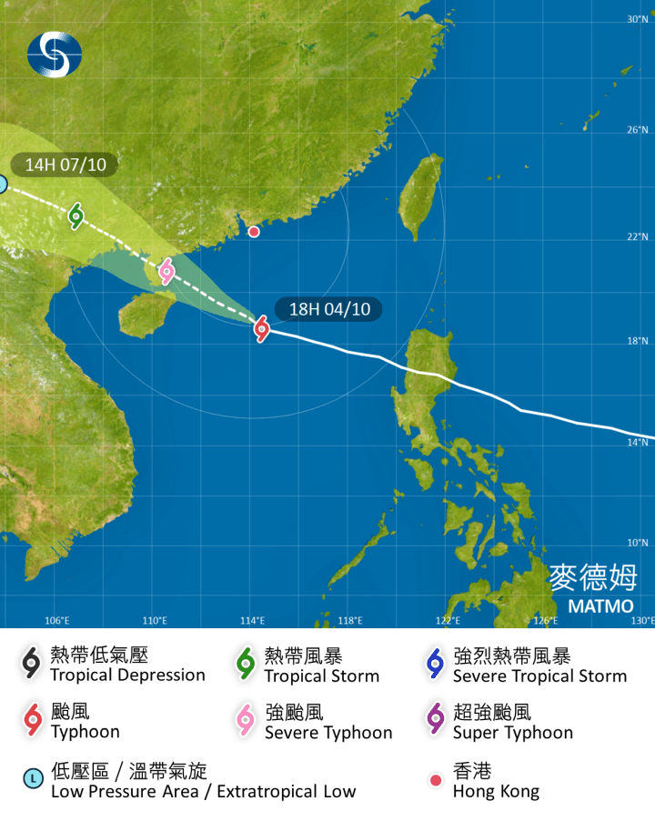
As Tropical Storm Matmo moves closer to the Leizhou Peninsula, Hong Kong braces for strong winds and heavy rainfall overnight and into Sunday morning.
The storm, intensifying as it approaches, is expected to pass more than 300 kilometers southwest of the city, prompting the Hong Kong Observatory to closely monitor its path and the potential need for higher tropical cyclone warnings.
Powerful winds have already swept through the region, with gusts exceeding 107 kilometers per hour at Ngong Ping, 98 at Cheung Chau Beach, and 75 at Waglan Island in the past hour.
Coastal areas and high ground have experienced occasional gales, and the storm’s rainbands are set to bring squally showers, thunderstorms, and violent gusts tonight and early tomorrow.
Rough seas and swells are also expected, leading authorities to urge the public to avoid shorelines and refrain from water sports for safety.
The observatory continues to track the storm’s gale-force winds, particularly their proximity to the Pearl River Estuary, as well as changes in local wind conditions.
Residents are advised to stay vigilant and prepared for potentially worsening weather as Matmo makes its closest approach to Hong Kong in the coming hours.