Read More



Night Recap - August 26, 2026
4 hours ago







Taxi stuck sideways in narrow Central alley
24-08-2026 15:55 HKT
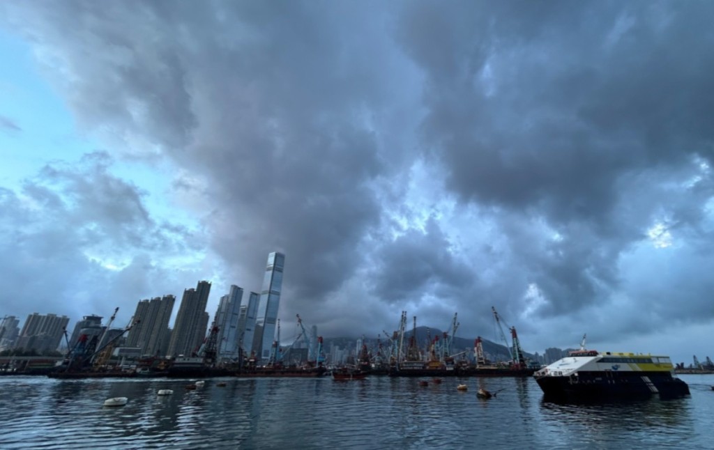
As Typhoon Matmo advances toward the Leizhou Peninsula, Hong Kong is experiencing strong winds and preparing for heavy rainfall overnight and into Sunday morning.
The storm is projected to pass more than 300 kilometers southwest of the city during the early hours, leading the Hong Kong Observatory to maintain the Strong Wind Signal No 3 at least until noon tomorrow.
Authorities are closely monitoring the storm’s gale-force winds, particularly their distance from the Pearl River Estuary, noting that the likelihood of sustained gales across Hong Kong remains low unless the storm shifts closer.
The storm’s rainbands are expected to bring intermittent squally showers, thunderstorms, and powerful gusts tonight and early tomorrow.
Recent wind measurements recorded sustained speeds of up to 71 kilometers per hour at Cheung Chau Beach, 66 at Waglan Island, and 63 at Tate’s Cairn, with gusts reaching even higher.
Coastal areas and elevated regions have already felt occasional gales, and rough seas with swells are forecast.
Officials have advised residents to steer clear of shorelines and avoid water sports to ensure safety as the storm approaches.
(Updated at 10.24pm)