Read More


The Geotechnical Engineering Office is expected to complete a comprehensive catalog of natural hillsides across Hong Kong within a year, recording basic geospatial data, landslide history, and affected facilities for each slope.
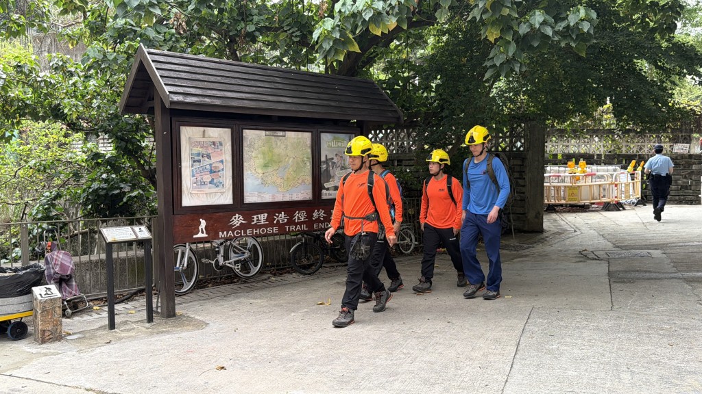
The move comes as the department prepares to explore using unmanned drone technology this year through two pilot projects under the government’s regulatory sandbox for low-altitude economy initiatives.
Last year, Hong Kong recorded 181 landslide incidents, none of them resulted in casualties. The city saw a significant drop from the annual average of 300 landslides over the past 35 years.
Lawrence Shum Ka-wah, deputy head of GEO on Hong Kong Island, attributed the decrease to lower rainfall and fewer severe rainstorms in 2024, noting that landslides are closely linked to precipitation levels.
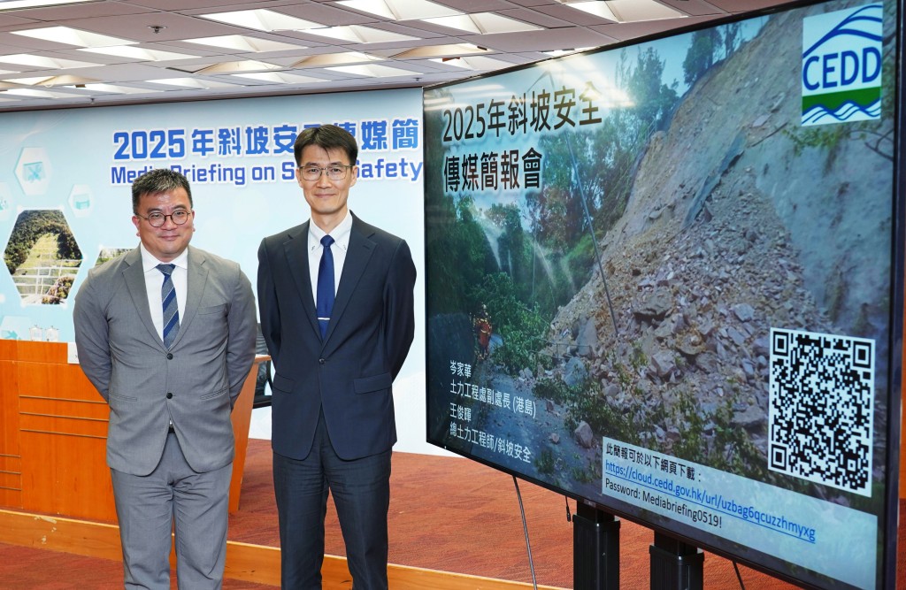
Shum also revealed that the government has completed a study on the large-scale landslide triggered by extreme rainfall in September 2023 at the natural hillside above Yiu Hing Road in Shau Kei Wan.
The investigation also identified three additional natural hillsides with similar geological and hydrological conditions, which have been included in the government’s long-term Landslide Prevention and Mitigation Program for hazard assessments to determine potential dangers and necessary risk-reduction measures.
To enhance slope safety management, GEO is expanding its existing Catalogue of Slopes—previously limited to man-made slopes—to include natural hillsides.
The department is also refining its selection criteria for man-made slopes under the prevention program as the office will now place greater focus on slopes that could significantly disrupt daily life, particularly those adjacent to critical transport routes, besides risks to human life.
GEO also aims to increase the number of natural hillsides undergoing risk-reduction works from 30 to 40 annually, reinforce government man-made slopes from 150 to 200, and conduct safety screening studies for private slopes from 100 to 130 over the next three years.
GEO is developing a smart catalogue of slopes, a dynamic database tracking maintenance, rainfall, and landslide data, to enhance artificial intelligence-driven risk management and will trial drones with lidar and thermal cameras for real-time slope monitoring and emergency response.
(Ayra Wang)