Read More
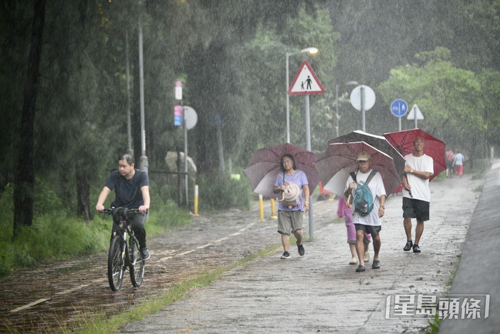
Hong Kong is on high alert as Tropical Cyclone Mitag approaches, with Typhoon Signal 3 currently in effect, while the more powerful Typhoon Ragasa looms on the horizon.
ADVERTISEMENT
SCROLL TO CONTINUE WITH CONTENT
The Hong Kong Observatory has forecast that Ragasa will intensify significantly in the coming days as it gathers strength over the northwest Pacific east of the Philippines.
By late Monday (Sep 22) or early Tuesday (Sep 23), the typhoon is expected to enter Hong Kong’s 800-kilometer radius with super typhoon strength, boasting maximum sustained winds near its center of approximately 195 kilometers per hour.
By Wednesday morning (Sep 24), it is projected to approach within 100 kilometers south of Hong Kong as a strong typhoon, with winds still reaching up to 175 kilometers per hour.
As Ragasa moves into the northern South China Sea and nears the southern China coast, its extensive circulation is expected to bring severe weather to the region by mid-week.
Hong Kong can anticipate gale-force winds, heavy rain, thunderstorms, and a significant storm surge, accompanied by rough seas and large waves.
The Observatory’s nine-day forecast indicates that on Wednesday (Sep 24), the city will experience strong northeast winds reaching force 7 to 8, with offshore and highland areas facing force 10 winds, equivalent to 89 to 102 kilometers per hour, classified as storm-force on the Beaufort scale.
These winds meet the threshold for a potential Typhoon Signal 8, which is triggered when sustained winds range from 63 to 117 kilometers per hour, compared to Signal 3’s range of 41 to 62 kilometers per hour.
The city is preparing for significant disruptions as Ragasa approaches the Pearl River Delta on Wednesday (Sep 24) or Thursday (Sep 25).