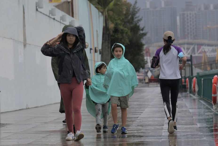
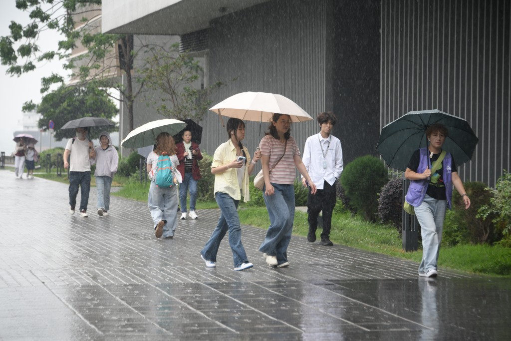
Students may start their new school year under gray skies and heavy rain as Typhoon Saudel is forecast to take an arc-like path toward southern China late this week.
The Hong Kong Observatory (HKO) flags four active tropical systems over the Northwest Pacific, including Saudel, Narra, Gaenari, and Atsani, adding uncertainty to the city's weather outlook.
Among the cyclones, Narra is projected to keep its distance from the city as it moves inland over western Guangdong between Tuesday and Wednesday, posing a low risk to Hong Kong.
However, under the influence of an active southerly airstream, the forecaster anticipates heavy showers in some areas over the next couple of days, along with occasional strong winds offshore and on high ground.
Meanwhile, Severe Typhoon Saudel is moving west-northwest toward the Ryukyu Islands and is expected to absorb a weaker neighboring Typhoon Atsani, currently about 1,000 kilometers away.
The forecaster added that subsiding air on the storm's outer rim will bring hot weather and *
a chance of showers to southern China late this week.
Saudel's movement will shape southern China's weather from late August to early September, but forecast models remain uncertain on its development, according to the watchdog.
European models show a southerly path that could bring significant rainfall to the Pearl River Delta early next week, while the FengWu AI model predicts weaker cyclonic circulation near the Guangdong coast and less rainfall.
The Observatory stated it will continue to closely monitor the development of the tropical systems.