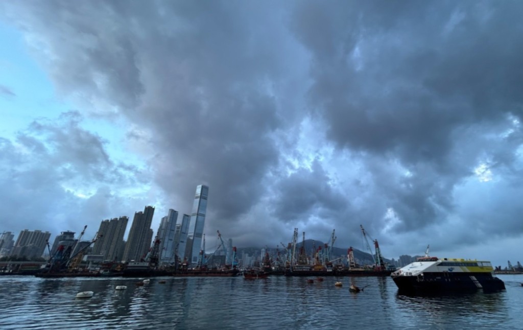
Hong Kong will continue to face extremely hot conditions over the next few days, before rain brings some relief toward the end of the week, according to the Observatory.
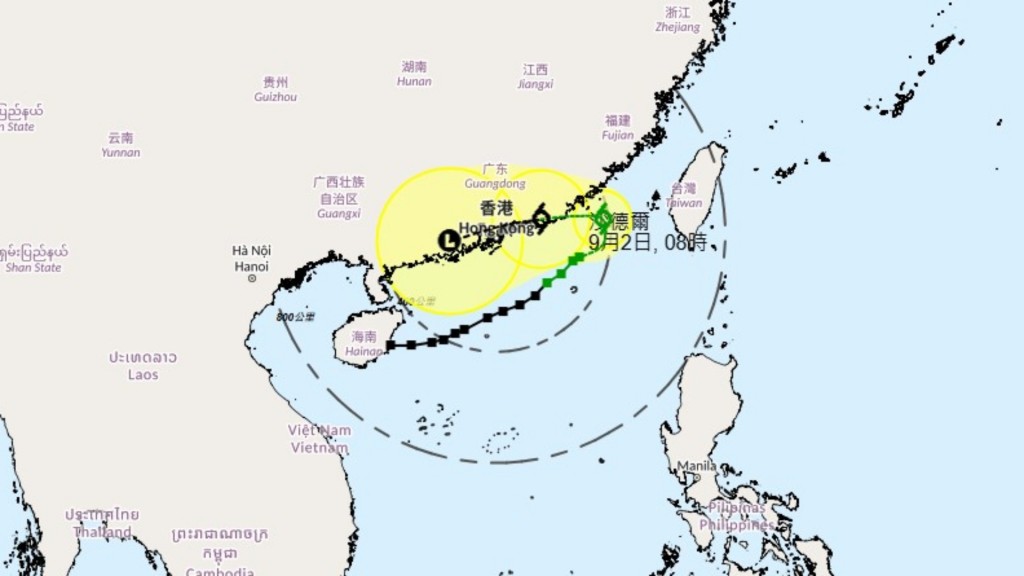
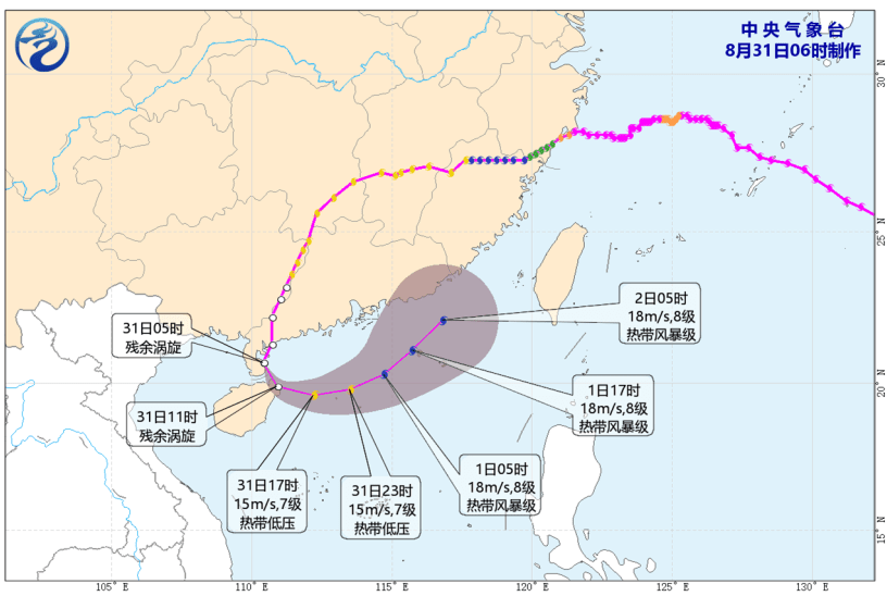
Speaking on a radio program on Monday, Cheung Ping, a senior scientific officer at the Observatory, said that while Tropical Cyclone Dolphin has already made landfall near Taizhou, Zhejiang, its outer subsiding air will keep temperatures high across the city over the next two days.
Urban maximum temperatures are forecast to reach 36 degrees Celsius today, with parts of the New Territories likely soaring to 37 or 38 degrees.
Cheung said although the heatwave will moderate by late week, temperatures will remain high near 33 degrees Celsius, with the weather turning unstable and cloudy with showers after Friday.
According to the nine-day weather forecast, the maximum urban temperatures could reach 32 degrees.
The ongoing stretch of intense heat follows a record-breaking day for the city, during which the Observatory recorded a peak of 36.9 degrees Celsius on Sunday afternoon.
Sheung Shui even recorded 39.8 degrees, Cheung explained, as it is an inland northern district, rapid solar heating drove temperatures up faster than in coastal areas, which benefited from sea breezes that slowed the temperature surge.