Read More


Morning Recap - September 16, 2026
2 hours ago






Night Recap - September 15, 2026
11 hours ago




Seven arrested over Kwai Chung illegal gathering
14-09-2026 12:33 HKT


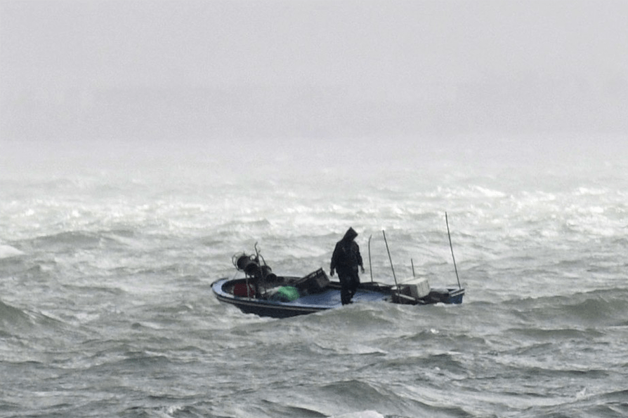
Hong Kong is preparing for worsening weather as the Strong Wind Signal No. 3 remains in effect, with Typhoon Noul steadily crossing the northeastern South China Sea and slightly intensifying on its approach toward the Guangdong coast.
The Hong Kong Observatory reported that strong winds and outer rainbands associated with the typhoon are increasingly affecting coastal areas.
Local winds are expected to pick up progressively alongside an increase in squally showers, rough seas, and large swells.
Authorities have urged residents to complete all precautionary wind protection measures promptly, stay away from the shoreline, and refrain from engaging in any water-based activities.
Forecast tracks indicate that Noul will make landfall tomorrow morning between Huizhou and Shanwei, passing roughly 100 kilometers northeast of Hong Kong.
With parts of the territory expected to experience gale-force winds, the observatory announced it will assess whether to upgrade to a higher tropical cyclone warning signal between 9pm tonight and midnight, depending on the storm's landfall location, proximity to the city, the reach of its gale-force wind zone, and local wind speeds.
Forecasters also warned that heavy, frequent squalls and thunderstorms tomorrow could trigger torrential rain warnings or localized heavy rain alerts throughout the day.