The Hong Kong Observatory (HKO) revised its weekend wind forecast upwards on Tuesday, citing ongoing uncertainty regarding a developing tropical cyclone’s ultimate intensity.
The HKO noted that a subtropical ridge is currently extending across the northeastern South China Sea, while a southerly airstream is already delivering showers to the Guangdong coast.
Additionally, a broad low-pressure area is generating unsettled weather conditions over the Philippines.
The observatory expects the ridge to bring extreme heat to the southeastern coast of China in the next day or two. Meanwhile, the low-pressure area near the Philippines will gradually develop into a tropical cyclone over the central-southern South China Sea, though its intensity is still uncertain.
If the observatory issues a typhoon signal, it will be the first one this year. The observatory said the tropical cyclone is likely to move toward Hainan Island and the Beibu Gulf later this week.
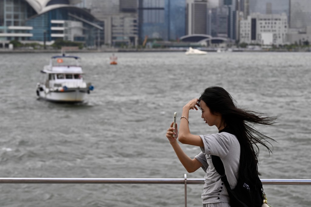
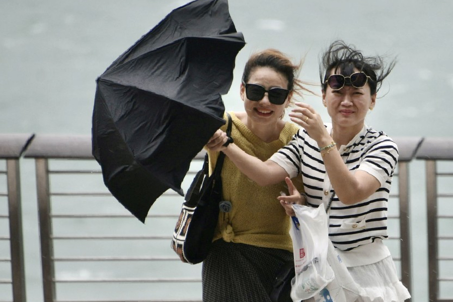
That will bring strong winds to the southern China coast, with weather becoming more unstable, including heavy rain, thunderstorms and rough seas. Winds along the Guangdong coast will stay strong through the weekend and into early next week, with occasional showers and thunderstorms.
According to the observatory's latest 9-day weather forecast, Hong Kong will have southeast winds of Force 5 on Saturday, Force 6 offshore and Force 7 on high ground.