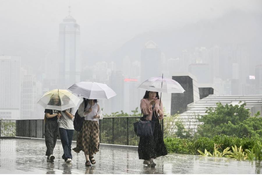
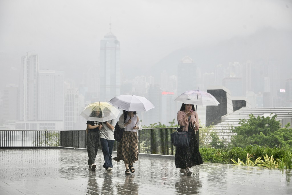
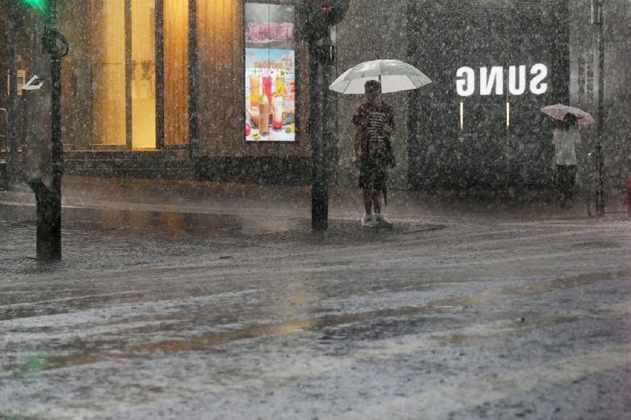
Hong Kong residents are being urged to prepare for a sudden and dramatic shift in weather conditions this evening, with local forecasters warning that a intense line of thunderstorms is rapidly approaching the Pearl River Delta.
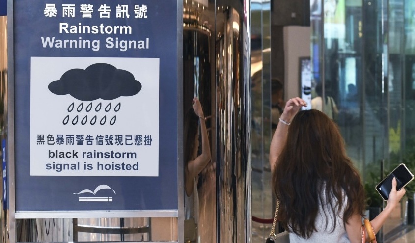
The Hong Kong Observatory issued a special weather alert at 6.30pm on Thursday, advising the public that a strong band of rainstorms is steadily closing in on the region and is highly likely to impact the territory within the next two to three hours.
The weather authority has advised people to stay alert to the rapidly changing conditions and plan their commutes with extra caution.
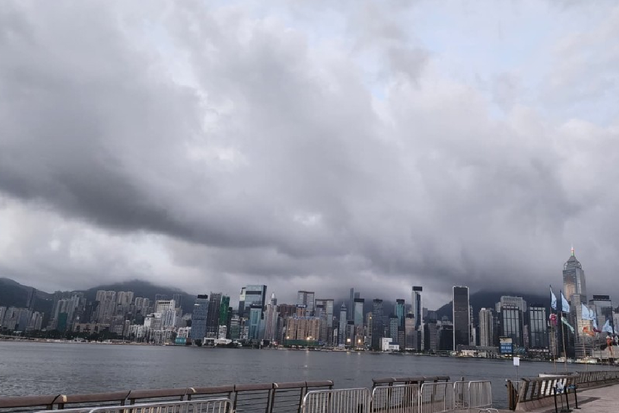
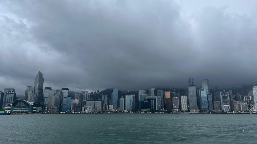
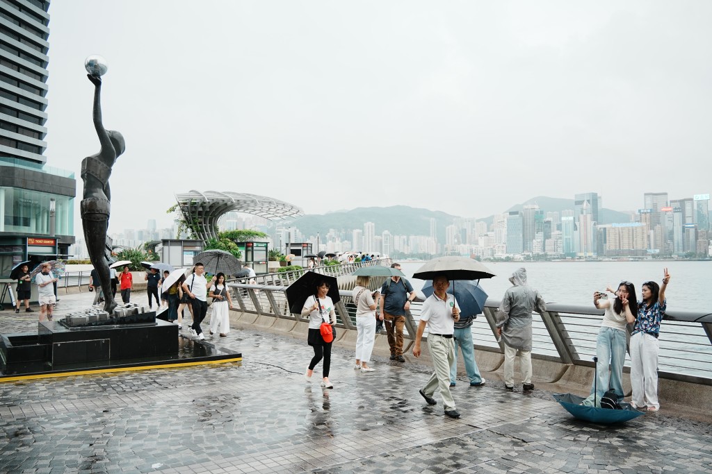
Before the storm's arrival, a lingering high-altitude anticyclone over the coast of Guangdong and the northern part of the South China Sea brought another day of sweltering summer heat to the city.
Daytime conditions remained mostly cloudy with a few scattered showers, interspersed with periods of very hot sunny intervals that saw urban temperatures peak at around 33 degrees Celsius, while parts of the New Territories climbed even higher.
Light to moderate southwesterly winds are currently blowing across the territory, though localized thunderstorms are expected to develop later in the evening as the atmospheric pressure drops.
The brief respite from the rain will be short-lived, as the high-pressure system is expected to weaken and give way to an active low-pressure trough moving down from mainland China.
This transition will bring increasingly unstable weather to South China, with widespread showers and active thunderstorms forecast throughout Friday and across the weekend.
While the rain is expected to ease slightly early next week as the high-pressure ridge temporarily regains its influence over Guangdong, unsettled conditions are predicted to return by the middle of next week as a broad trough of low pressure develops over the north-central parts of the South China Sea.
Meanwhile, meteorological tracking shows that two separate tropical systems are active in the Western Pacific, though neither currently poses a direct threat to Hong Kong.
As of 5am on Thursday, Severe Tropical Storm Mekkhala was centered about 430 kilometers southwest of Okinawa, moving north-northeast across the Ryukyu Islands and heading toward the southern coast of mainland Japan.
Further out, Tropical Storm Higos was positioned approximately 1,440 kilometers southeast of Okinawa, tracking west-northwest across the Northwest Pacific toward the open waters south of Japan.