The Hong Kong Observatory issued a special weather advisory on Friday afternoon, warning residents that a southwest monsoon and an approaching trough of low pressure will bring heavy rain and squally thunderstorms to the region starting this weekend.
The public is urged to remain highly alert to changing weather conditions and official warnings over the coming days.
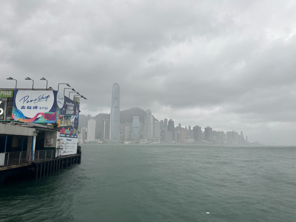
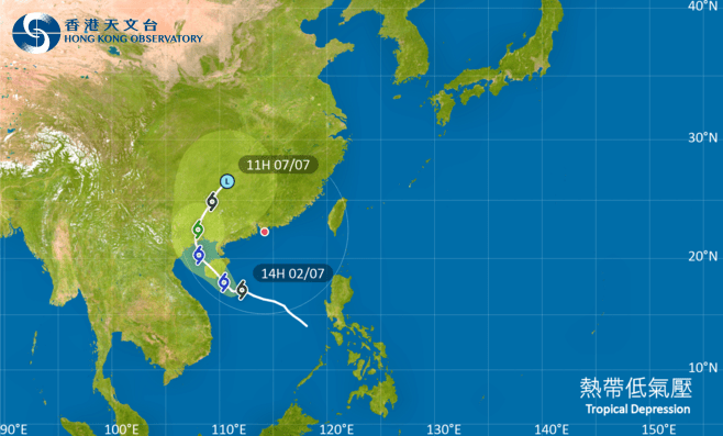
An easterly airstream is currently affecting the coast of Guangdong, bringing scattered showers to the region, while an area of low pressure is causing unstable weather near Taiwan.
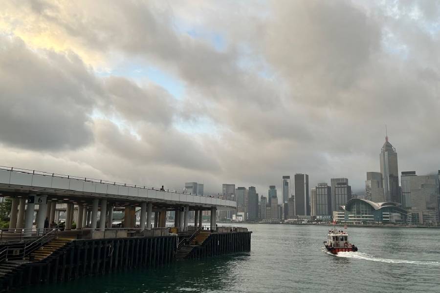
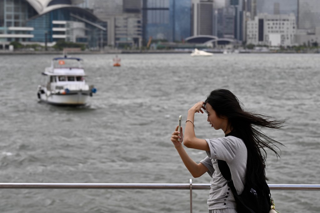
Today, Hong Kong can expect mostly cloudy conditions with a few showers, alongside brief sunny intervals during the day and a maximum temperature of around 29 degrees Celsius. Moderate easterly to southeasterly winds will prevail.
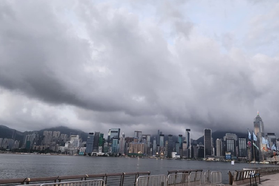
However, weather conditions are set to deteriorate rapidly. The southwest monsoon is expected to gradually influence the Guangdong coast starting Saturday.
This will trigger increased showers and a few thunderstorms across Hong Kong, particularly during the morning and evening, accompanied by strengthening winds.
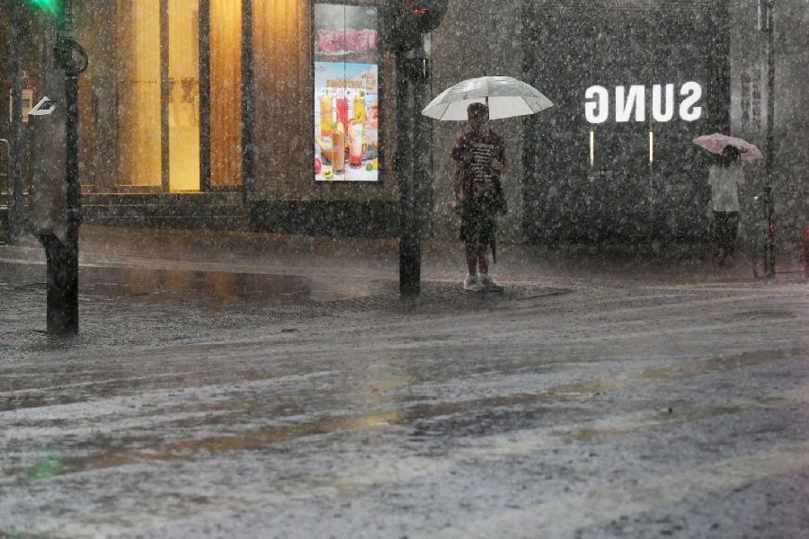
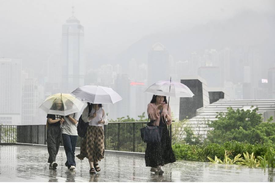
The wet weather will intensify significantly as a low-pressure trough over southern China gradually edges closer to the coast. On Sunday, June 14, and Monday (Jun 15), the territory is forecast to experience heavy downpours accompanied by squally thunderstorms.
The observatory noted that under the combined influence of the active southwest monsoon and upper-air disturbances, the region—including the northern part of the South China Sea—will continue to face persistent heavy showers and squally thunderstorms from early to midweek next week.
Residents are strongly advised to check the latest weather forecasts and warnings before leaving home over the next few days and to exercise extreme caution when participating in or planning any outdoor activities.