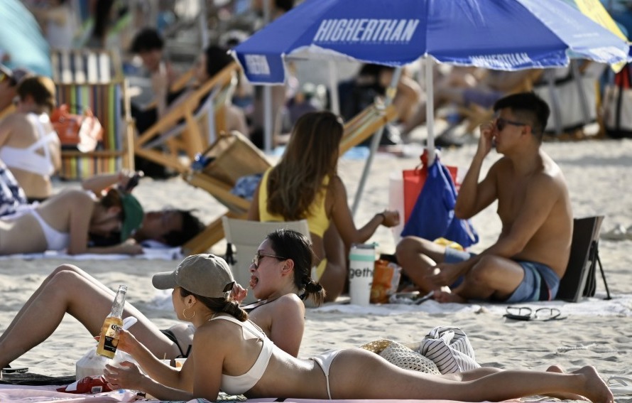
Hong Kong was hit by extreme heat on Friday (May 29), with temperatures reaching around 34 degrees in many areas at midday, according to the Hong Kong Observatory.
The Observatory said a high-altitude anticyclone brought generally fine weather to western Guangdong and the northern South China Sea, with light winds over the region. Heat-triggered showers and thunderstorms were also affecting inland areas.
Temperatures reached around 34 degrees by noon, with a forecast high of about 35 degrees in urban areas. Conditions remained extremely hot during the day.
Skies were expected to turn cloudier later with a few showers and isolated thunderstorms. Winds would remain light, becoming moderate easterlies at night as an easterly airstream affected the coast of eastern Guangdong.
The Observatory said Hong Kong had recorded minimum temperatures of 28.0 degrees or above for six consecutive days as of Thursday night, matching the longest streak of “hot nights” on record for May.
Severe Tropical Storm Jangmi was about 1,330 kilometers southeast of Okinawa, moving northwest at around 18 km/h across the northwestern Pacific east of the Philippines and was expected to gradually intensify.
Showers are expected to increase on Saturday, easing the heat, before hotter conditions return early next week.