Read More
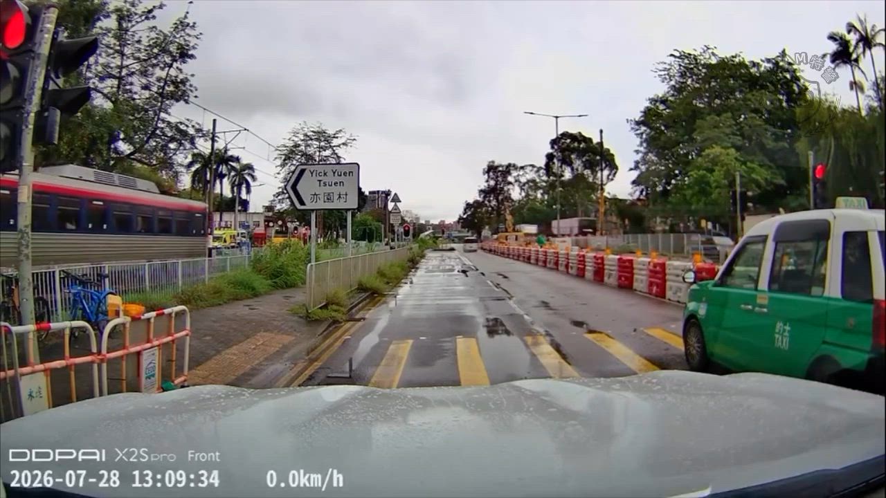
Hong Kong residents are preparing for turbulent weather as the Hong Kong Observatory issued the Standby Signal No. 1 at 7.40pm on Friday, with Severe Tropical Storm Matmo approaching within 800 kilometers of the city.
ADVERTISEMENT
SCROLL TO CONTINUE WITH CONTENT
The storm, currently moving across the central and northern parts of the South China Sea, is expected to head toward Hainan Island.
Forecasters anticipate that Matmo will steadily strengthen over the weekend, potentially prompting the Observatory to consider escalating to a higher tropical cyclone warning signal on Saturday.
The decision will hinge on the storm’s proximity to the Pearl River Estuary, its intensity, and changes in local wind conditions.
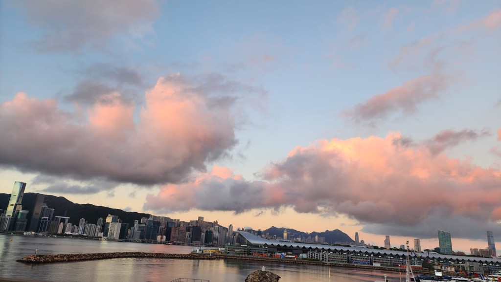
As the storm nears, Hong Kong’s weather is expected to deteriorate from late Saturday into Sunday, bringing windy conditions and occasional heavy showers.
Rough seas and swells are also forecast, posing challenges for maritime activities.
This marks the 12th time this year that the Standby Signal No. 1 has been raised, setting a new record for the highest number of such alerts since tracking began.