





Read More




HK, Malaysia deepen capital market ties
4 hours ago




Night Recap - July 23, 2026
7 hours ago




Friend shares unseen photos from Patrick Tse's final years
22-07-2026 13:12 HKT
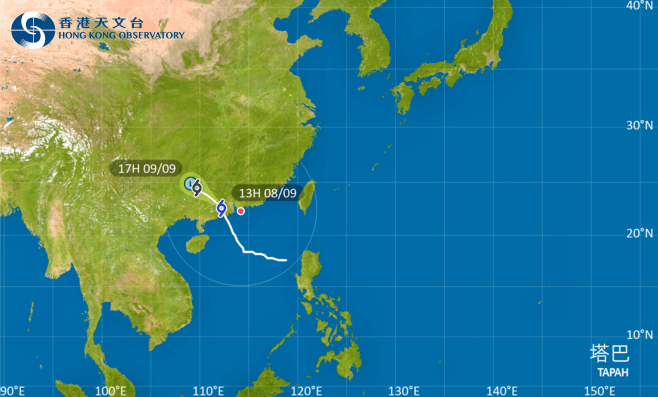
The Hong Kong Observatory (HKO) has lowered the No. 8 Storm Signal to the Strong Wind Signal, No. 3 at 1.10pm on Monday as Severe Tropical Storm Tapah moves away from the territory.
At 2pm, Tapah was estimated to be about 230 kilometers west of Hong Kong and is forecast to move northwest at about 18 kilometers per hour across inland Guangdong.
Local winds are expected to moderate gradually, but winds will still be generally strong at first as Tapah departs from Hong Kong. Winds will occasionally reach gale force over the western part of Hong Kong, offshore and on high ground.
The rainbands of Tapah will continue to bring squally showers and thunderstorms to the Pearl River Estuary today, showers will be heavy at times. Seas are rough with swells. Members of the public are advised to stay away from the shoreline and not to engage in water sports.
The T3 signal will remain in force for most of the daytime today, according to the forecaster. When the threat posed to Hong Kong by Tapah is further reduced, the Observatory will issue the Standby Signal, No. 1 or cancel all tropical cyclone warning signals.
In the past hour, the maximum sustained winds recorded at Ngong Ping, Green Island and Cheung Chau were 84, 71 and 64 kilometers per hour with maximum gusts exceeding 111, 87 and 82 kilometers per hour respectively.
(Updated at 1.48pm)