Read More


Night Recap - May 21, 2026
3 hours ago


ImmD crackdown targets moonlighting domestic helpers arresting 17
19-05-2026 17:52 HKT


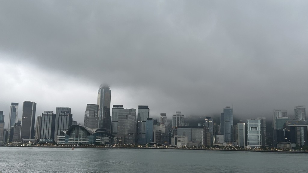
The Observatory has warned of showers and squally thunderstorms next week as an area of low pressure over the western North Pacific is expected to move westward in the coming days.
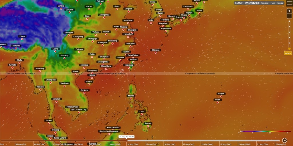
The ECMWF-AIFS weather forecast model suggests the potential storm could approach Hong Kong, while the "Pangu" model predicts it will skirt south of the city before making landfall near Zhanjiang.
However, the "Fengwu" model indicates a more eastward shift, with the storm potentially heading toward Shantou -- which would result in lighter impacts for Hong Kong.
The Observatory said the low-pressure system's future path and intensity remain uncertain.
Meanwhile, another low-pressure system near Luzon is expected to enter the South China Sea within the next few days, bringing scattered showers early next week.
With the anticyclone aloft shifting northwards, rainfall will increase gradually over the coast of southern China in the middle and latter parts of next week.
Additionally, the weather watchdog urged residents to stay updated on the latest forecasts in the next couple of days.