Read More


Night Recap - May 21, 2026
6 hours ago


ImmD crackdown targets moonlighting domestic helpers arresting 17
19-05-2026 17:52 HKT

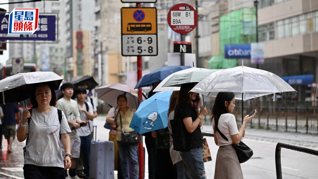
Hong Kong residents should prepare for continued wet weather as the Hong Kong Observatory forecasts intermittent heavy showers and thunderstorms on Friday and Saturday, with conditions expected to improve early next week.
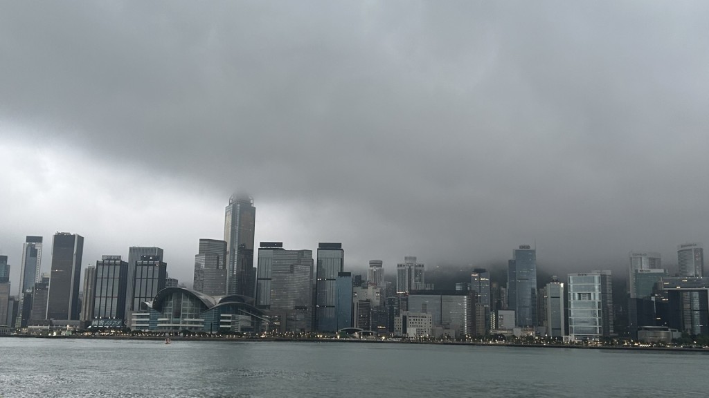
The unsettled weather is being driven by the remnants of Tropical Cyclone Danas, which has weakened into a low-pressure area after making landfall in Zhejiang.
Combined with an active southwest monsoon, the system is bringing significant rainfall and thunderstorms to southern China and the northern part of the South China Sea.
The Hong Kong Observatory explained that Danas' remnants, coupled with strong convective activity, have caused unstable weather since Wednesday night. Heavy downpours have already drenched the city, with widespread rainfall exceeding 100 millimeters on Thursday (July 10), and some areas recording over 140 millimeters.
It noted that the southern side of Danas' remnants is interacting with a very active southwest monsoon, providing ample moisture. Under these atmospheric conditions, the system is bringing intense rain and thunderstorms, leading to severe weather for Hong Kong.
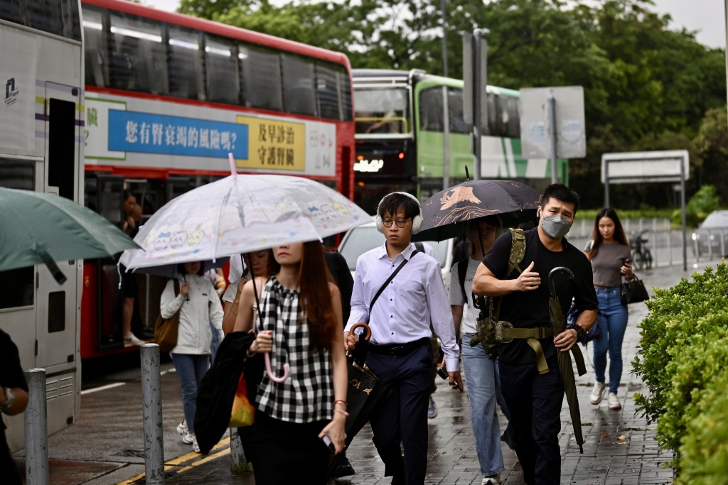
The forecaster also said that rainbands from tropical cyclone remnants are not confined to the vortex center, and scattered showers are expected to persist near the Pearl River Estuary.
While showers and thunderstorms are expected to continue until Saturday, conditions are forecast to gradually improve early next week as a high-pressure system aloft strengthens.