Read More

Night Recap - May 13, 2026
1 hour ago


Heavy rains and thunderstorms expected later this week
12-05-2026 17:54 HKT


The Hong Kong Observatory issued a special weather alert at 9.45am on Wednesday (June 25), warning that a low-pressure area over the central and northern parts of the South China Sea is gradually intensifying, with signs that a tropical cyclone could be forming.
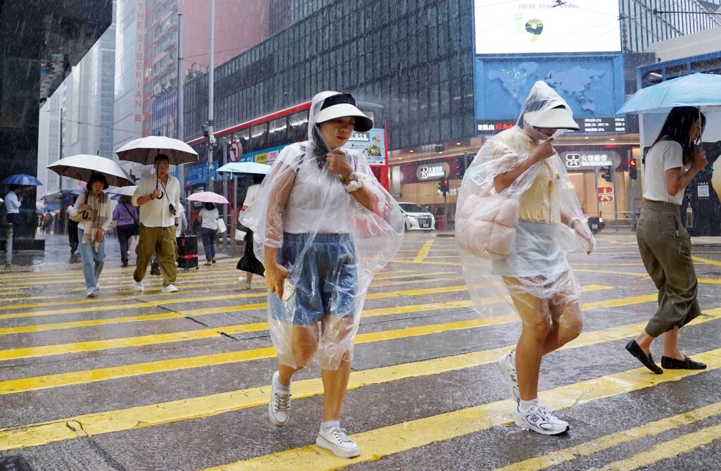
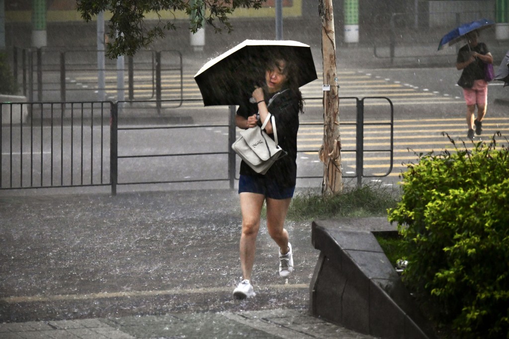
While it remains uncertain whether the system will develop or directly impact Hong Kong, residents should prepare for increased showers and thunderstorms over the next two days.
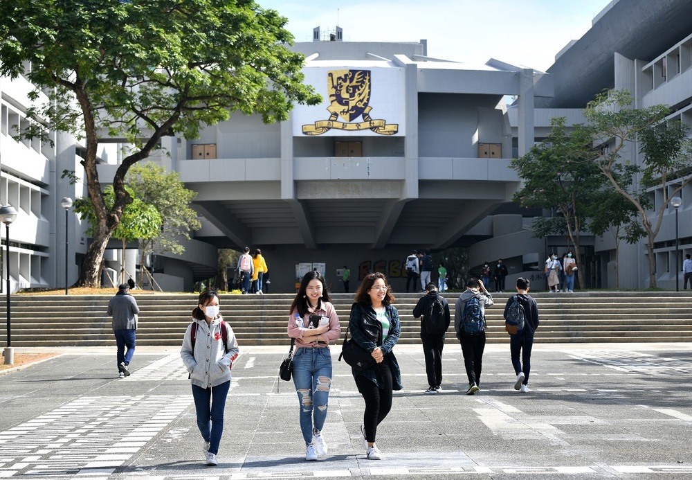
Hong Kong will start with mostly sunny skies, but extreme heat is expected during the day, with temperatures reaching around 33°C in urban areas and even higher in the New Territories.
Cloud cover will increase later, bringing scattered showers. Winds will be light at first, gradually strengthening to moderate easterly to southeasterly winds, with fresher gusts offshore and on high ground.
The Observatory forecasts that, under the influence of upper-air disturbances, there will be showers and thunderstorms over the next two days, with stronger winds expected by Thursday. Unsettled weather is likely to persist into the weekend, with further showers expected.
The forecaster said the broad low-pressure area is currently moving toward the western coast of Guangdong and Hainan Island, with gradual intensification possible.
The Observatory is closely monitoring whether it will develop into a tropical cyclone, though there is no confirmation yet on its formation or potential path.
The system is expected to bring unstable weather to southern China later this week, with continued rain and thunderstorms along the Guangdong coast into early next week.