Read More



HK, Malaysia deepen capital market ties
4 hours ago



Night Recap - July 23, 2026
7 hours ago



Friend shares unseen photos from Patrick Tse's final years
22-07-2026 13:12 HKT
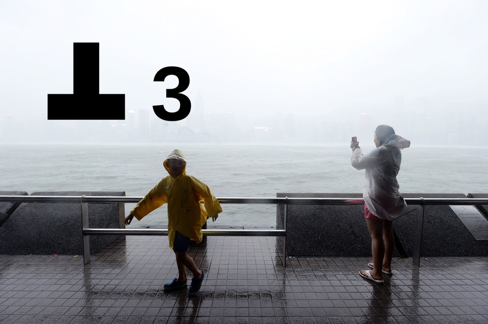
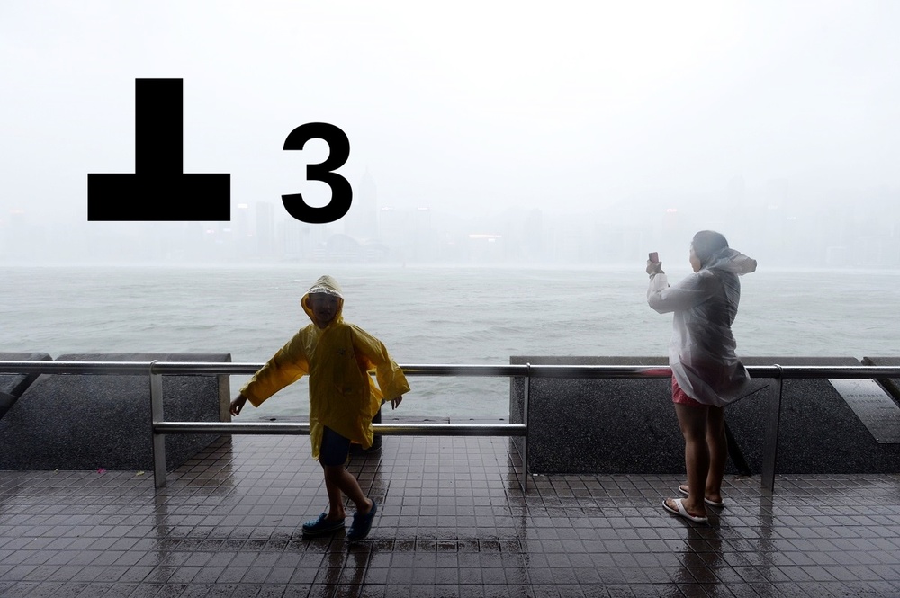
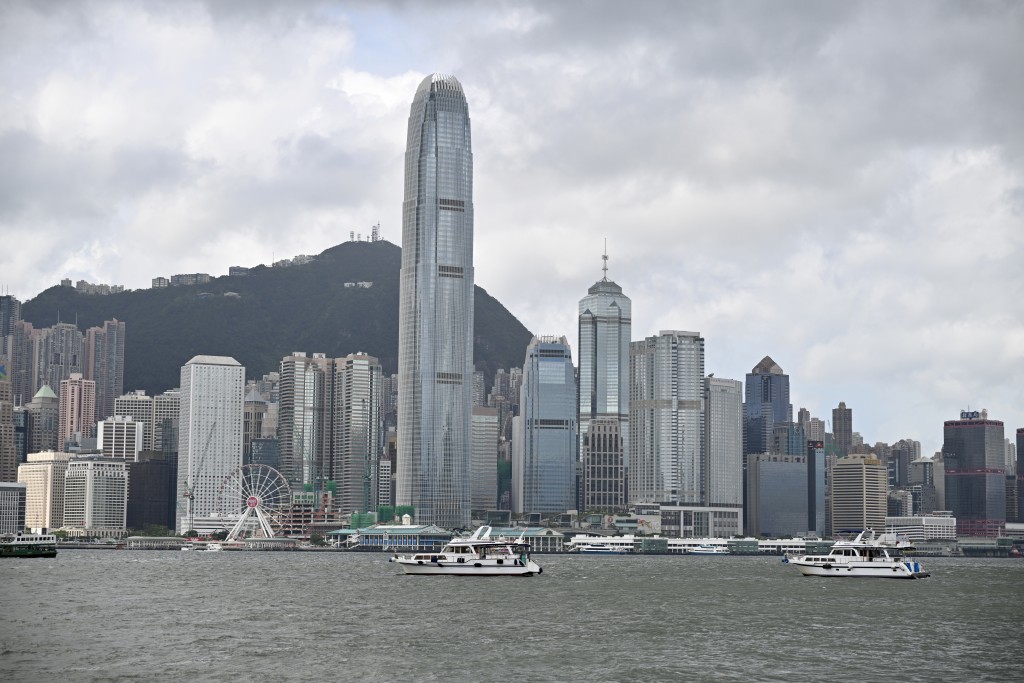
The Strong Wind Signal, No. 3 was issued at 4.25pm today, according to the Hong Kong Observatory.
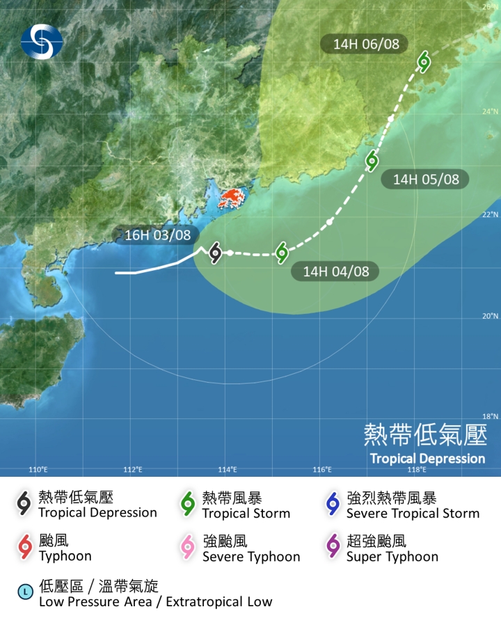
At 5pm, the tropical depression over the northern part of the South China Sea was estimated to be about 120 kilometers south-southwest of Hong Kong and is forecast to move east slowly, across the coastal waters of Guangdong.
The Observatory said the Strong Wind Signal, No. 3 will remain in force tonight and for some time tomorrow morning.
According to the present forecast track, the tropical depression will be closest to Hong Kong overnight tonight, skirting at about 100 kilometres to the south of the territory. Unless the tropical depression intensifies significantly and moves even closer to Hong Kong, the chance of gales generally over the territory is expected to be relatively low.
The rain bands associated with the tropical depression will bring showers and squalls to the territory today and in the next few days. There will also be swells.
The Macau Meteorological and Geophysical Bureau also issued a tropical cyclone alert and has issued the No 3 signal at 2.30pm today.
In view of the typhoon signal, the Education Bureau announced classes of kindergartens, schools for children with physical disability and schools for children with intellectual disability are suspended today.
These schools, however, should keep their premises open and implement contingency measures to look after arriving students. They should ensure that conditions are safe before allowing students to return home.