Read More
Rachael Ng and ReutersThe observatory issued the Typhoon Standby Signal No 1 at 10.40pm on Saturday, indicating that a tropical cyclone was within about 800 kilometers of Hong Kong and might affect the region. This signal remained in force yesterday as Prapiroon, named after a Thai rain god, took a more northerly track.
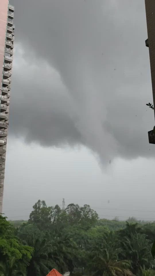
Hong Kong will be affected by rain and thunderstorms today despite the approach of tropical storm Prapiroon, which was forecast to make landfall over Hainan Island.
ADVERTISEMENT
SCROLL TO CONTINUE WITH CONTENT
The observatory will assess the need to issue a higher tropical cyclone warning signal, depending on changes in Prapiroon's intensity and local wind conditions.
As of 7pm last night, Prapiroon was centered about 610 kilometers southwest of Hong Kong and was forecast to move north-northwest at around 14 kilometers per hour toward Hainan Island.
"Squally showers associated with Prapiroon are affecting the vicinity of the Pearl River Estuary. Locally, winds were occasionally strong offshore and on high ground," the Observatory said.
Looking ahead, cloudy weather is expected, with a few showers and thunderstorms today and tomorrow. Tomorrow is forecast to be very hot - with temperatures reaching 33 degrees Celcius alongside some sunny periods during the day.Meanwhile, another tropical storm, Gaemi, will also bring gales and heavy rain to China's eastern seaboard this week. Gaemi is expected to brush past the northern tip of Taiwan before making landfall in China as a typhoon, with wind speeds of up to 180kph, according to Chinese forecasters.
Taiwan's weather agency expects Gaemi to be closest to the island on Wednesday and Thursday, bringing heavy rain.Sing Tao