Read More

T1 signal stays in force as Saudel approaches Pearl River Delta
03-09-2026 10:22 HKT

Morning Recap - October 23, 2026
3 hours ago





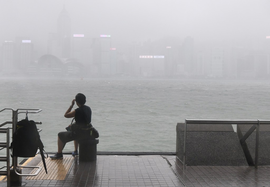
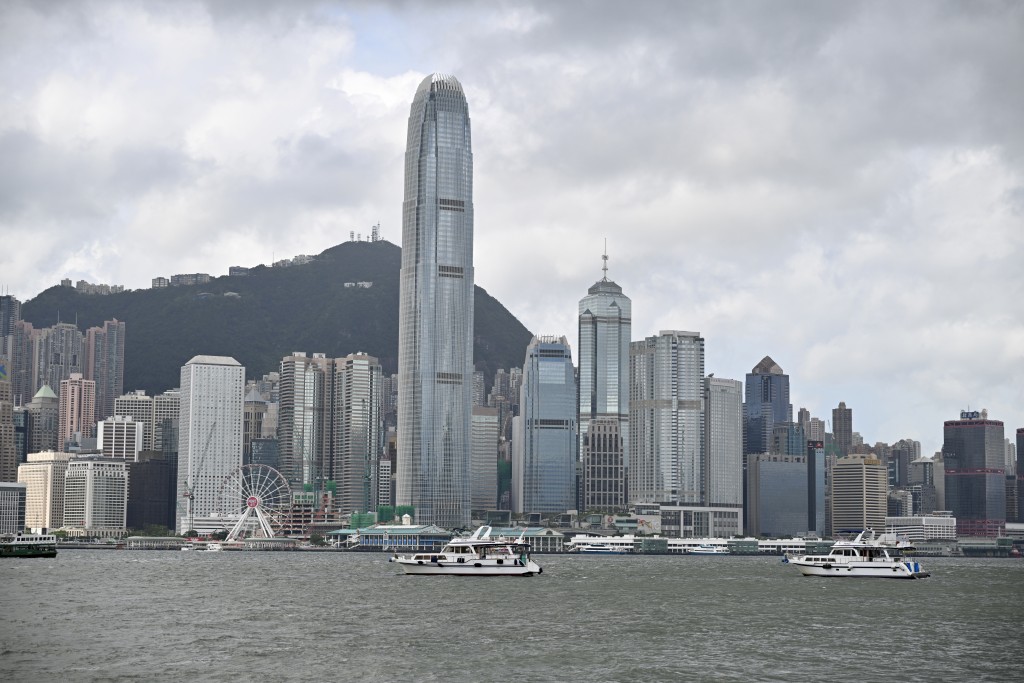
The Standby Signal No. 1 will remain in force at least until 6pm on Tuesday, with Hongkongers warned of heavy squalls as Tropical Cyclone Saudel edges closer.
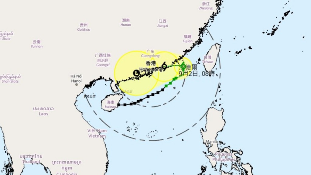
According to the Observatory, Saudel is expected to skirt around 200 kilometers southeast of Hong Kong later this afternoon as it moves across the northern part of the South China Sea.
However, the forecaster said the chance of strong winds during the day is limited due to terrain sheltering.
As the system is projected to edge closer to the eastern coast of Guangdong tonight and through tomorrow, the Observatory said it will assess the need for issuing the Strong Wind Signal No. 3 based on Saudel's intensity, the distance of its strong winds from the Pearl River Estuary, and local wind conditions.
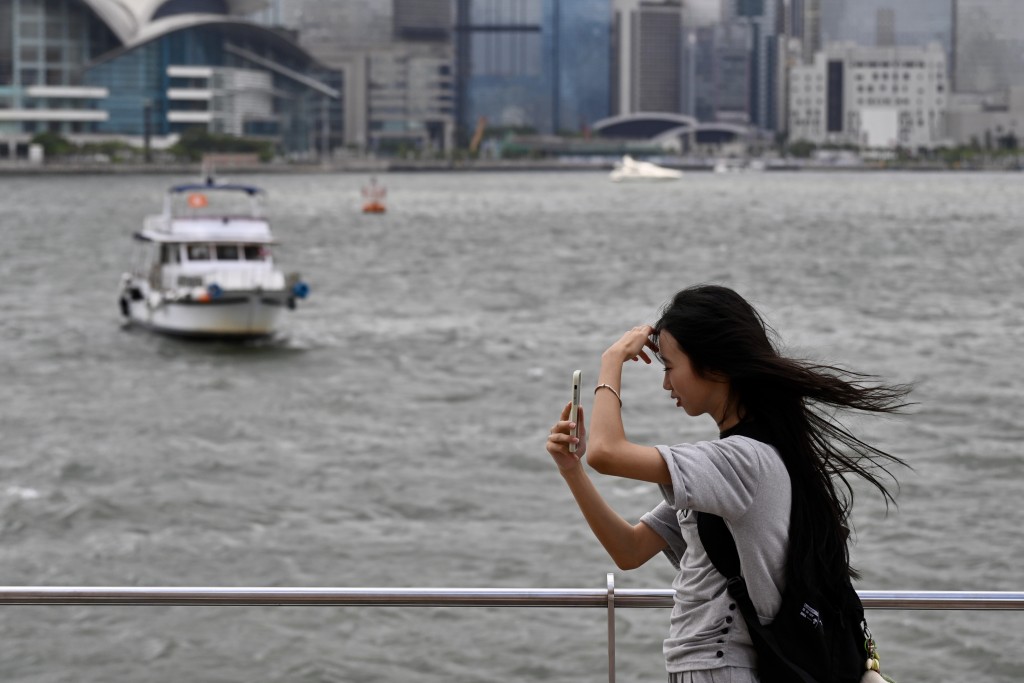
Meanwhile, under the combined effect of Saudel and the northeast monsoon, the city is expected to experience windier conditions with squally showers and swells.
Notably, the outer rainbands of Saudel are already bringing occasional squally showers and thunderstorms throughout the day.
The Observatory reported that around 10 millimeters of rainfall was recorded across the city in the past few hours, with rainfall exceeding 20 millimeters in the eastern part of the New Territories.
Although Saudel's path remains uncertain, scattered showers are expected to persist through the week as the storm lingers off eastern Guangdong and the northeastern South China Sea.
Separately, Tropical Cyclone Krovanh will gradually intensify and head toward the Ryukyu Islands in the next couple of days.
The weather watchdog urged residents to stay updated on the latest weather information.