Read More

T1 signal stays in force as Saudel approaches Pearl River Delta
03-09-2026 10:22 HKT
T1 signal to remain in force until 6pm as Saudel drenches HK
01-09-2026 13:17 HKT

Morning Recap - October 23, 2026
3 hours ago








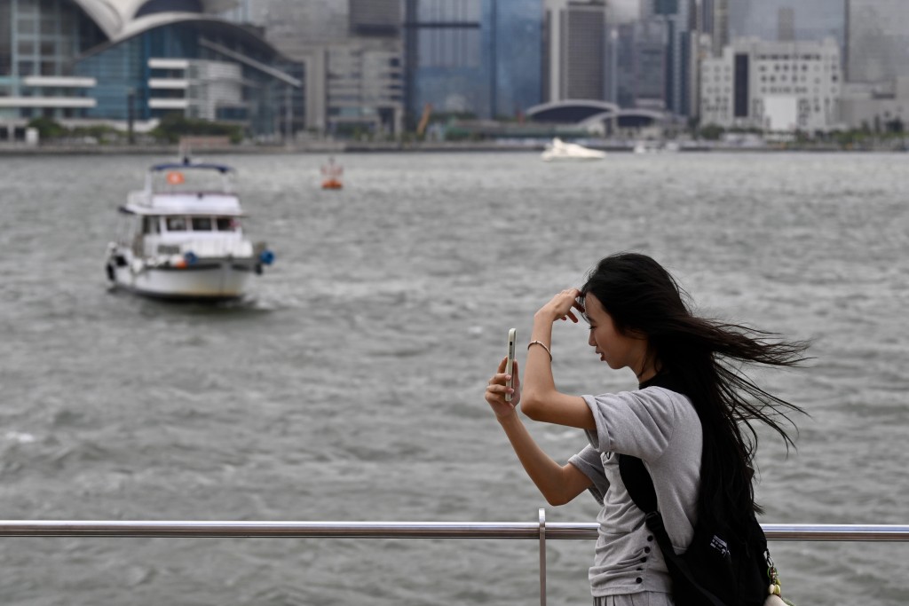
The Observatory may issue the Standby Signal No. 1 as early as Monday evening as tropical cyclone Saudel edges closer to Hong Kong.
The Observatory said the residual system, which previously weakened into an area of low pressure over mainland China, is expected to move towards the coast of southeastern Hainan Island around this evening and gradually intensify into a tropical depression.
Depending on its development and distance from Hong Kong, the Observatory will assess the need for the standby signal, while monitoring whether higher signals will be required on Tuesday and Wednesday.
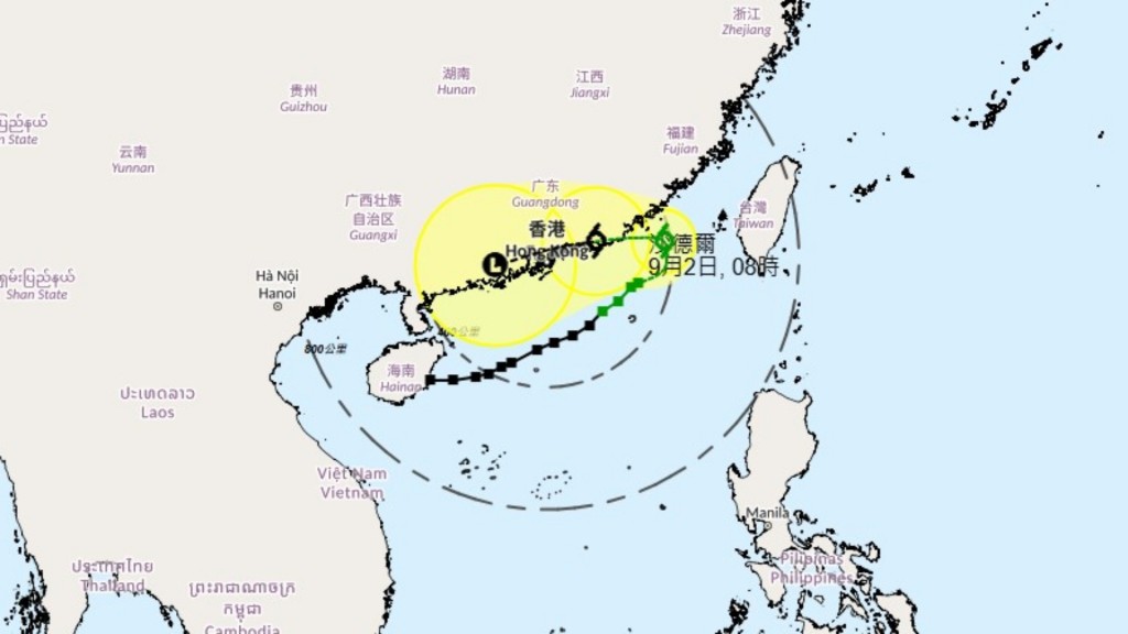
Saudel made two landfalls in Zhejiang province on August 28 before tracking southwest across Fujian, Jiangxi, Guangxi, and western Guangdong. Its low-pressure remnants re-entered the northern South China Sea near Zhanjiang early Monday morning.
Under its combined effect with the northeast monsoon, it will be windier over Hong Kong on Tuesday and Wednesday, with more showers and squally thunderstorms.
Meteorologists note the storm's unusual curved trajectory was likely caused by a high-pressure system over northwestern China pushing it back into the South China Sea. Saudel is forecast to track eastward over the next three days, potentially skirting within 200 kilometres south of Hong Kong towards the Taiwan Strait.