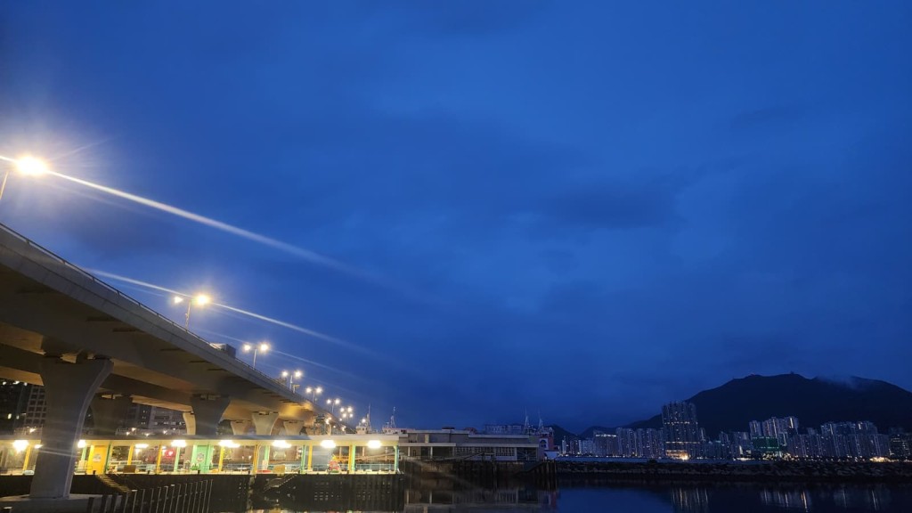
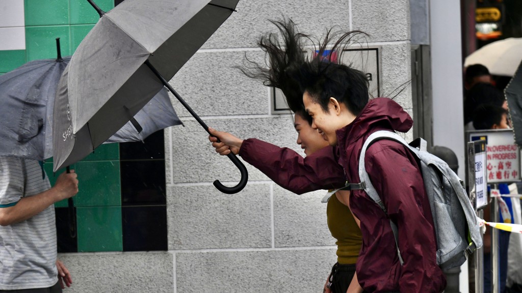
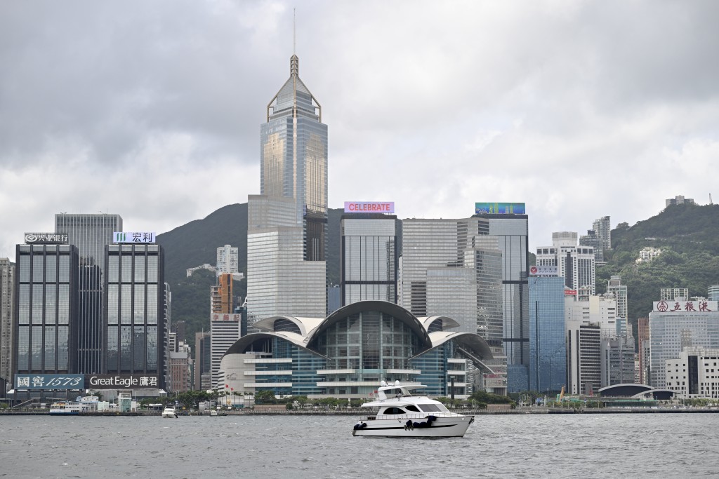
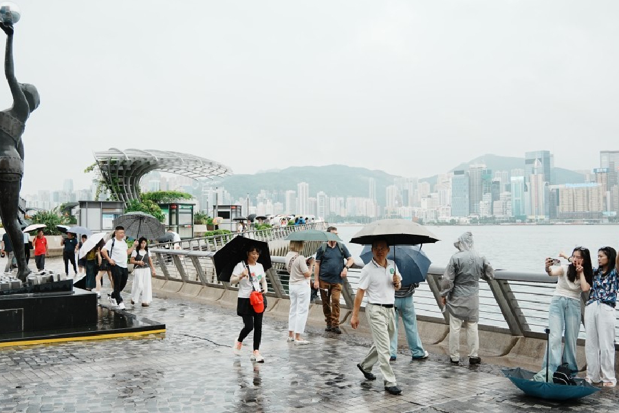
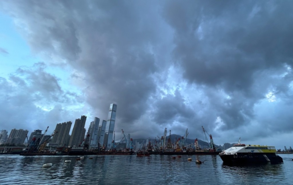
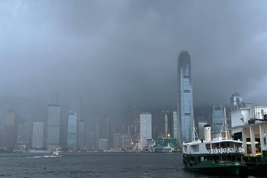
The Hong Kong Observatory (HKO) canceled the Amber Rainstorm Warning Signal at 11.40am on Friday, however, residents should prepare for an extended period of unsettled weather. According to the latest nine-day forecast, persistent rainfall is expected across the territory starting today.
Local weather today remains mainly cloudy with occasional showers and squally thunderstorms.
Initial downpours will be heavy at times, with maximum temperatures reaching around 31 degrees Celsius under moderate southwesterly winds. An upper-air disturbance and a southwest airstream will continue bringing showers and squally thunderstorms to the Pearl River Estuary early tomorrow.
However, conditions along the Guangdong coast will temporarily turn very hot over the weekend and into early next week as the disturbance moves away and airstreams moderate. Some areas will enjoy short sunny intervals despite scattered showers.
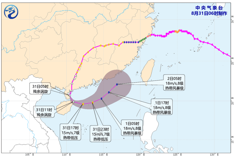
Looking further ahead, a broad trough of low pressure is developing and will cause unsettled weather over the northern part of the South China Sea and waters east of Taiwan.
The system, which may potentially develop a low-pressure area, is expected to gradually edge closer to the Guangdong coast by the middle to latter part of next week.
(Updated at 11.52am)