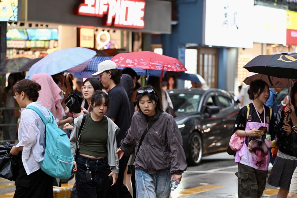
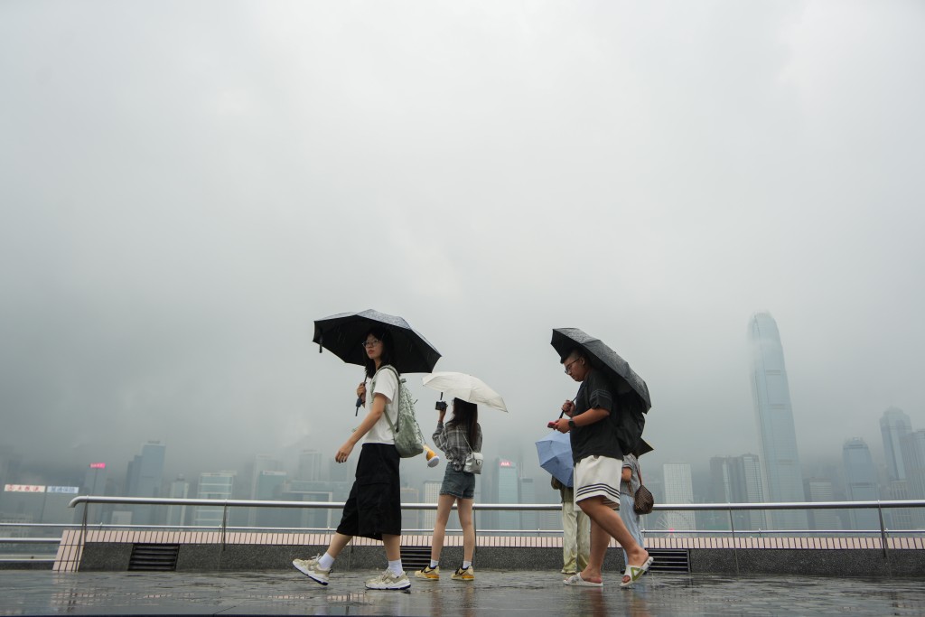
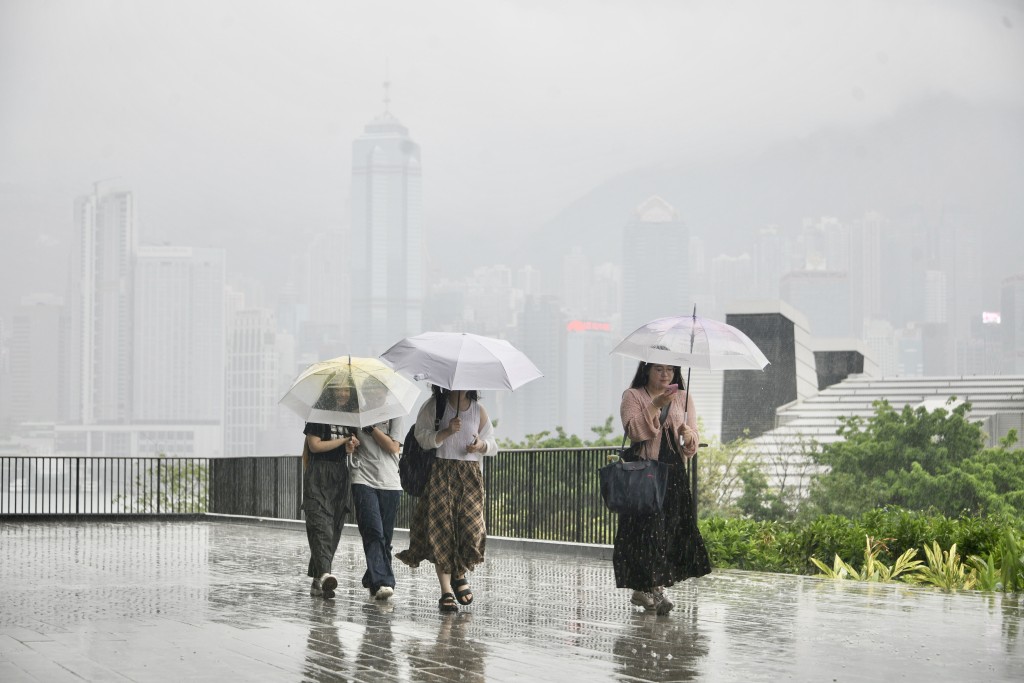
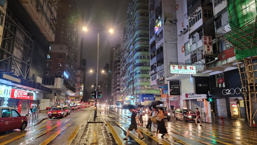
Hong Kong is in for a soaking week ahead as several AI weather models forecast two areas of low pressure that could develop within 800 kilometers of the city.
The Observatory said there are uncertainties in the subsequent developments and movements of the two low-pressure areas, and the area of low pressure over the northern part of the South China Sea is expected to develop slightly and has a higher chance of moving towards the vicinity of Hainan Island in the next couple of days.
It added that the other area of low pressure will likely shift towards the east of Luzon and generally move towards the vicinity of Taiwan. With the whole low-pressure system edging closer to the vicinity of the coast of southeastern China to southern China, the weather over the region will be unsettled in the latter part of this week.
The Observatory's AI model "Fengwu" anticipated the two potential low pressures could coexist near Hong Kong from Wednesday through Sunday, moving within 800 kilometers of the city.
Meanwhile, other forecasting systems, including “Fuxi” and European Centre for Medium-Range Weather Forecasts’ AIFS model, predict the two systems would develop along China's southeastern coast by Thursday.
According to the nine-day weather forecast, Tuesday will see scattered showers and thunderstorms with brief sunny spells. Unsettled weather will follow from Wednesday, when offshore and highland areas could experience winds reaching force 6.
Notably, the unstable weather is likely to stretch through the weekend before easing early next week.