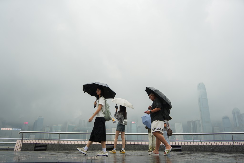
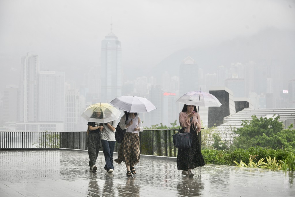
The Hong Kong Observatory said it may issue the Standby Signal, No. 1, tonight or tomorrow morning if a developing area of low pressure over the northern part of the South China Sea intensifies into a tropical depression.
The Observatory said the system is edging closer to the Guangdong coast and is expected to pass within 100 kilometers of Hong Kong on Tuesday morning.
If it develops into a tropical depression, the Observatory will assess whether to issue the No. 1 signal between Monday night and Tuesday morning.
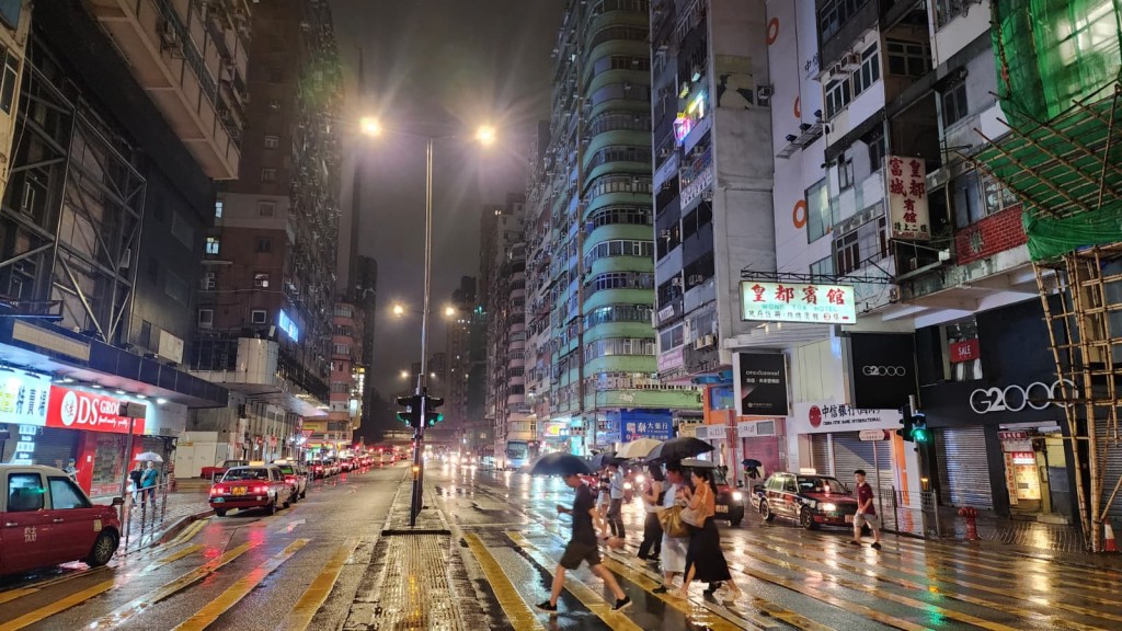
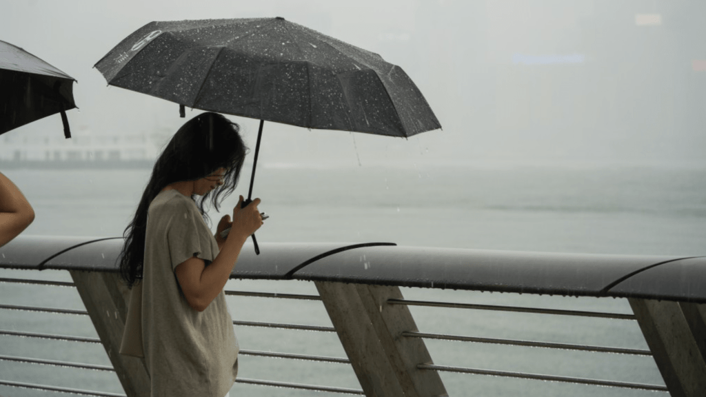
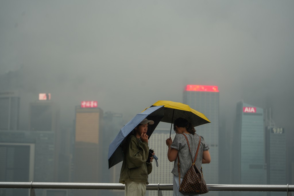
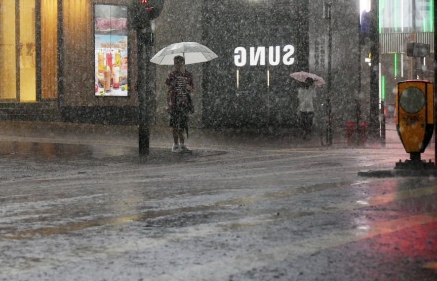
Heavy showers, thunderstorms and squalls are forecast for Tuesday, with possible flooding in low-lying areas and a risk of landslides. Occasional heavy rain and strong offshore winds are expected to continue into Wednesday.
The Observatory also warned that rainstorm warning signals or the Localized Heavy Rain Advisory may be issued, depending on rainfall developments.
Separately, Tropical Depression Haishen is forecast to move northwest at about 25 kilometers per hour across the western North Pacific.
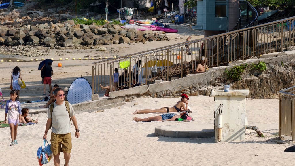
Looking ahead, an active southwesterly airstream is expected to affect the Guangdong coast from later this week to early next week, bringing brief sunny intervals, showers and thunderstorms to Hong Kong.
The Observatory said it would continue to monitor the development of the low-pressure system and advised members of the public to keep up with the latest weather information.