
Read More


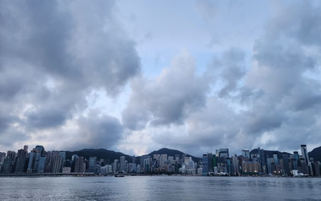
The Observatory will issue the Standby Signal, No.1 on Thursday (Jul 2) morning as the area of low pressure over the central and southern parts of the South China Sea has intensified into a tropical depression.
It is expected to enter within 800 kilometers of Hong Kong later on Wednesday, and is expected to move in the general direction of the vicinity of Hainan Island to Beibu Wan on Thursday and Friday (Jul 3).
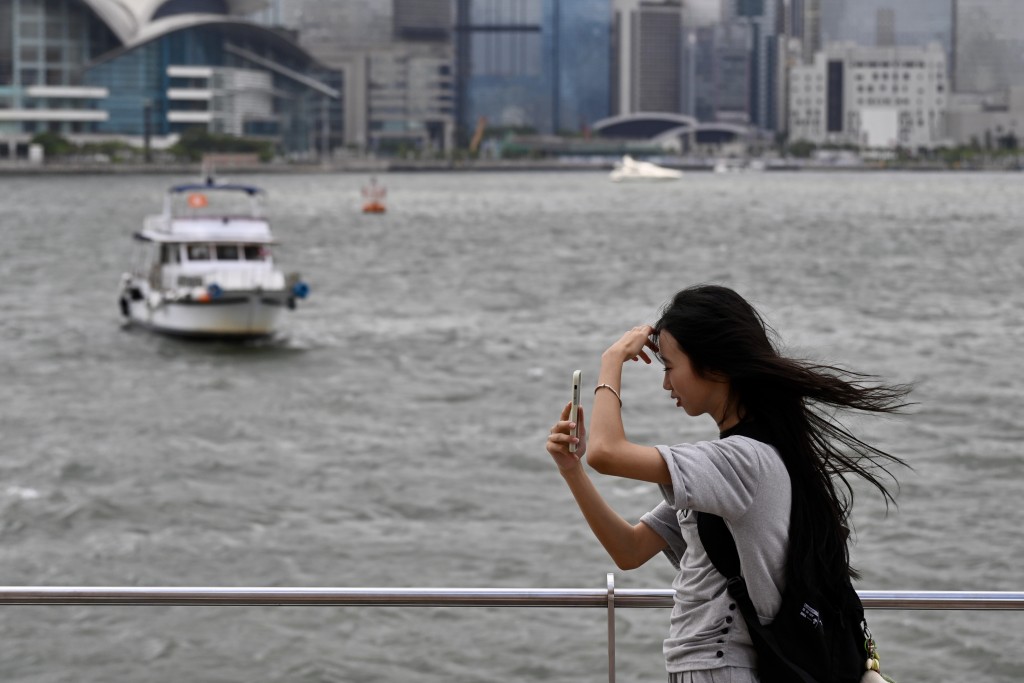
According to the forecaster, the tropical depression will maintain a distance of 400 kilometers or more from Hong Kong and the weather is expected to become increasingly unsettled from Friday, bringing strengthening winds and rough swells. Gale-force winds may affect parts of high ground.
With the tropical cyclone making landfall over the western coast of southern China during the weekend, local weather will be dominated by an active southerly airstream gradually.
However, various computer models remain divided on the system's development speed and circulation size.
For instance, the artificial intelligence model "FengWu" predicts the system will develop more rapidly and feature a larger circulation. In contrast, the US computer model suggests a slower initial development with a much smaller circulation.