


Read More

Night Recap - June 26, 2026
5 hours ago


Swedish court moves to strip HK parents of 'Save Lily' custody
25-06-2026 06:10 HKT

Star monkey Panchi-kun targeted by lasers; Japan zoo alerts police
25-06-2026 04:14 HKT
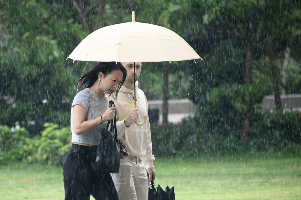
The Hong Kong Observatory initially issued special weather reminders late Friday morning, warning residents of widespread heavy rain and severe gusts.
By midday, the weather agency upgraded the alert to a Red Rainstorm Warning, urging anyone outdoors to immediately seek safe shelter as strong wind gusts continued to lash the territory.
According to the local forecast, Friday will remain mostly cloudy with scattered showers and squally thunderstorms, bringing heavier downpours to some areas.
Temperatures are expected to fluctuate between 28 and 32 degree Celsius under light to moderate southwesterly winds.
The wet and unstable weather will persist through the weekend.
Saturday is projected to be mostly cloudy with ongoing showers and squally thunderstorms, while Sunday will see intermittent rain and a few thunderstorms, with temperatures on both days hovering between 27 and 31 degrees.
Relief is on the way next week, however, as a subtropical ridge is expected to extend westward and cover the southeastern coast of China.
This atmospheric shift will gradually clear the skies and reduce rainfall across Hong Kong.
Showers will begin to taper off next Monday, transitioning to brief sunny periods during the day.
By Tuesday, locals can expect partly sunny skies with only localized showers.
The weather is forecast to turn significantly hotter for the July 1 holiday.
While a few lingering showers are still possible, the day will feature sunny intervals and very hot conditions, with afternoon temperatures soaring to a peak of 33 degrees.
Meanwhile, weather officials are also monitoring two regional tropical storms, Mekkhala and Higos, which are currently moving near Japan and Okinawa, though neither is expected to directly impact Hong Kong.
(Updated 2.07pm)