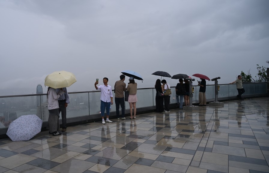
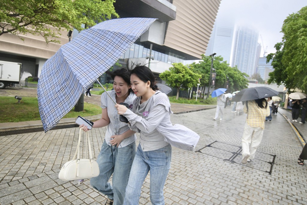
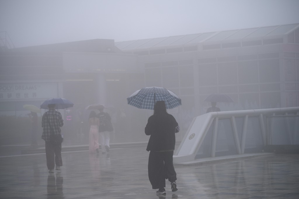
Hong Kong will see continued unstable weather for the next two days following an overnight heavy rain that triggered a brief Red Rainstorm Warning and around 1,000 lightning strikes across the city.
Powered by a broad trough of low pressure and an active southwestern airstream, severe thunderstorms intensified rapidly over the city around midnight.
The Hong Kong Observatory issued an Amber Rainstorm Warning at 12.45am, which was upgraded to a Red warning half an hour later.
Most districts recorded an average of 60 millimeters of rainfall, with Kowloon East bearing the brunt with accumulated rainfall exceeding 100 millimeters.
Approximately 1,000 cloud-to-ground lightning strikes were detected by the weather watchdog while rainstorm warnings were in force.
As the rain band drifted away, the Observatory downgraded the signal to an Amber warning at 3.50am before canceling all rainstorm alerts by 5am.
However, forecasters emphasized that the active weather systems will continue to affect the southern coast of China. Weather conditions are expected to remain highly unsettled through Tuesday morning, bringing frequent showers, squally thunderstorms, and occasional heavy rain.
A brief respite with clearer skies and fewer showers is anticipated mid-week. However, a prevailing southerly airstream is expected to trigger another wave of unstable weather from the weekend to early next week.