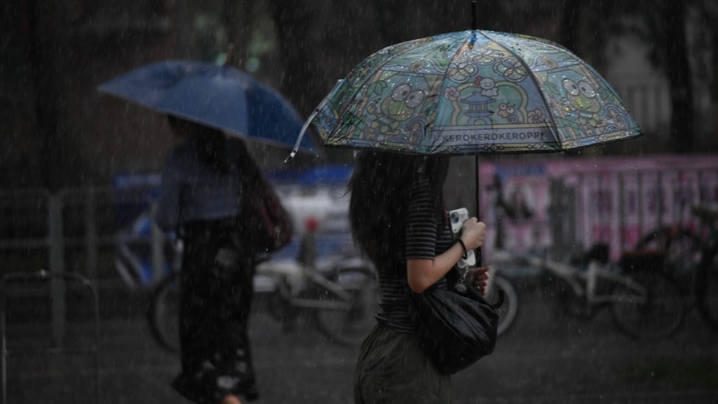
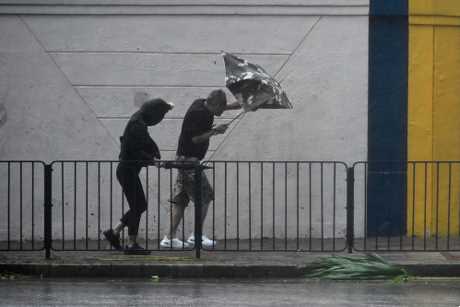
The Hong Kong Observatory upgraded the rainstorm warning from amber to red at 1.15am on Monday, as areas of intense thundery showers associated with a broad trough of low pressure affected the city. Whether a black rainstorm warning needs to be issued depends on the development of the thundery shower areas.
The Observatory issued a special weather tip at 12.35am warning that widespread heavy rain may affect Hong Kong shortly, urging the public to stay alert.
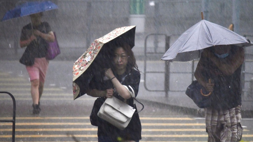
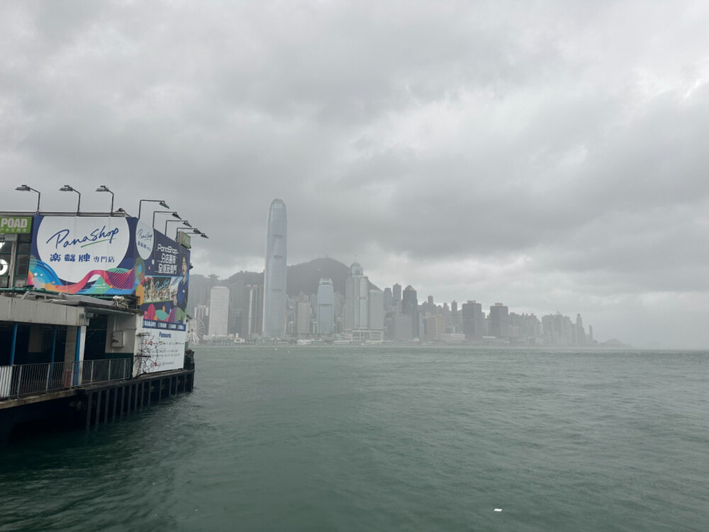
Heavy rain was already seen on Sunday afternoon, with many parts of the New Territories recording about 30mm of rainfall, while Sai Kung recorded over 50mm. The broad trough of low pressure is expected to bring heavy showers and squally thunderstorms to the Guangdong coast on Monday and Tuesday.
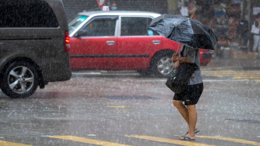
Monday's weather will be mainly cloudy with showers and squally thunderstorms, heavy at times, with temperatures between 25 and 29 degrees Celsius. Moderate to fresh south to southwesterly winds are expected.
Heavy rain and squally thunderstorms are expected to continue into early Tuesday, with showers gradually decreasing later. Brighter conditions are expected in the following one to two days.
Strong gusts may affect Hong Kong, and those outdoors were advised to seek safe shelter as soon as possible.