
Read More
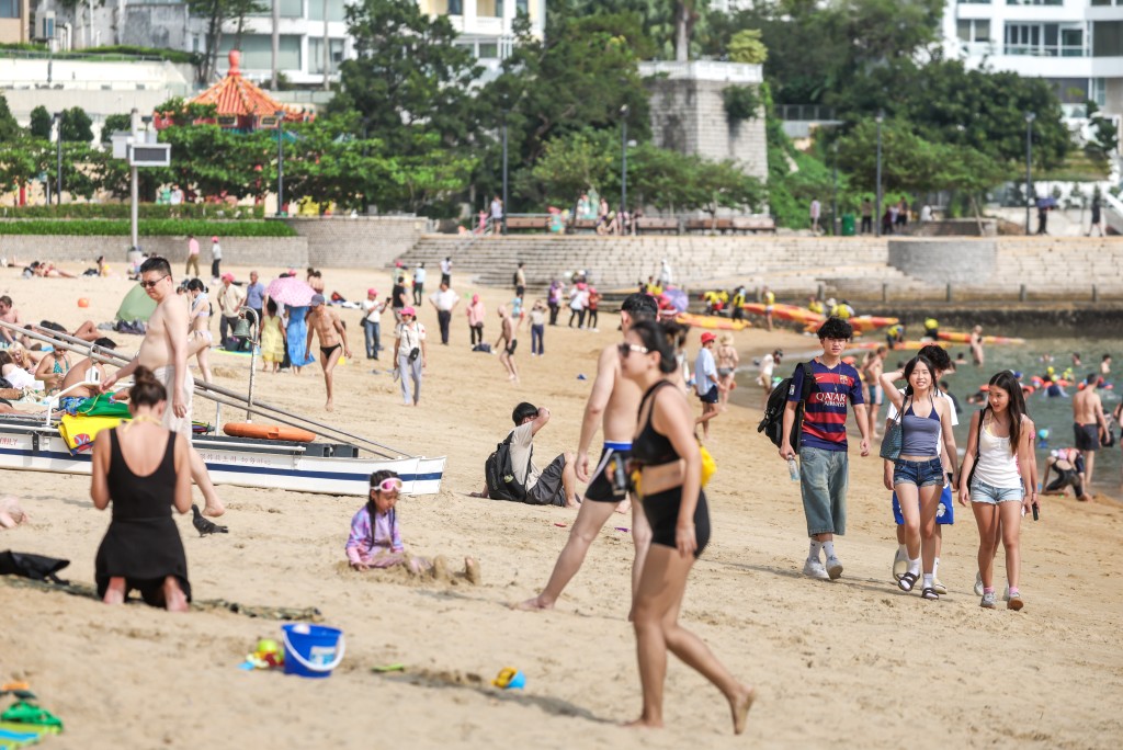
As the city prepares for temperatures to climb to 35 degrees Celsius this Friday under the influence of subsiding air from a low-pressure system over the central South China Sea, the Hong Kong Observatory (HKO) stated on Monday that tropical cyclone warnings will be issued based on the system’s development and distance from the Pearl River Estuary.
ADVERTISEMENT
SCROLL TO CONTINUE WITH CONTENT
In its Written Notes today, the weather watchdog explained that the atmospheric circulation is shifting to a southwest monsoon, making regional weather increasingly unstable.
According to the latest satellite imagery, a broad monsoon trough is already generating active convective weather across Vietnam and the southern portion of the South China Sea.
Forecasters noted that incoming warm, humid air, combined with favorable atmospheric conditions—including weak vertical wind shear—could provide the fuel necessary for the low-pressure system to intensify.
However, global computer forecasting models are currently displaying significant discrepancies regarding the system's future.
The Japanese model predicts the system could intensify into a tropical cyclone as early as Wednesday (Jun 3) and approach the eastern coast of Guangdong.
Conversely, the UK model suggests the system will remain weak and follow a path further away from the Guangdong coast.
Under this scenario, the system would only experience minor intensification later in the week as it drifts toward Taiwan and the northeastern South China Sea.
Based on these mixed simulations, the Observatory currently projects that the system will cross the northeastern South China Sea toward Taiwan later this week.
However, because the system's circulation remains relatively compact, both its exact trajectory and ultimate intensity are still highly uncertain.
Ahead of the system’s arrival, winds will remain weak over Guangdong, trapping heat across the region.
The observatory cautioned that this extreme daytime heat could trigger sudden showers and thunderstorms later in the day, reminding residents to take full heat stroke precautions on Friday.
The observatory previously stated that under the ongoing influence of climate change and the El Niño event, this year’s typhoon season is expected to start later and end earlier, spanning from June to October.
Between four and seven tropical cyclones are projected to approach within 500 kilometers of Hong Kong this year, with an increased likelihood of storms intensifying into super typhoons.