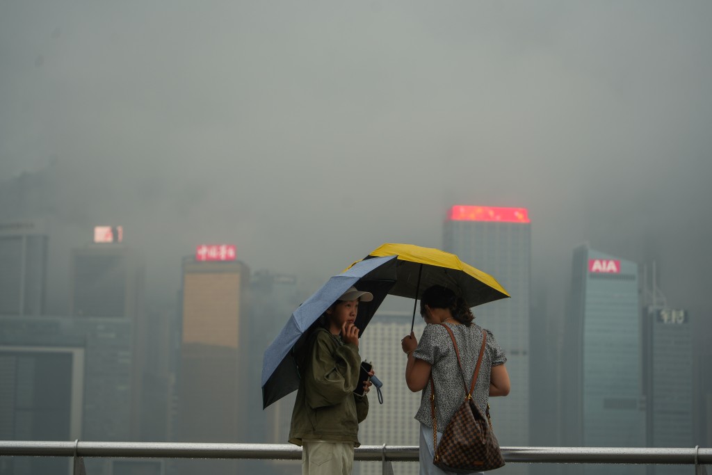
Hong Kong is set to experience a prolonged period of hot weather, with the Hong Kong Observatory forecasting a seven-day stretch of temperatures at 30 degrees Celsius or higher starting this Friday. The heat is expected to intensify early next week, potentially breaking this year's temperature record.
A southerly airstream, combined with an anticyclone aloft over the northern South China Sea, will bring generally fine and hot conditions to the Guangdong region.
For Hong Kong, this means the start of a significant heatwave.
Beginning tomorrow, the city will see parts of the day with sunshine, with urban temperatures reaching up to 30 degrees.
The warmth will continue through the weekend. Both Saturday and Sunday are expected to be hot during the day, with temperatures ranging between 26 and 30 degrees.
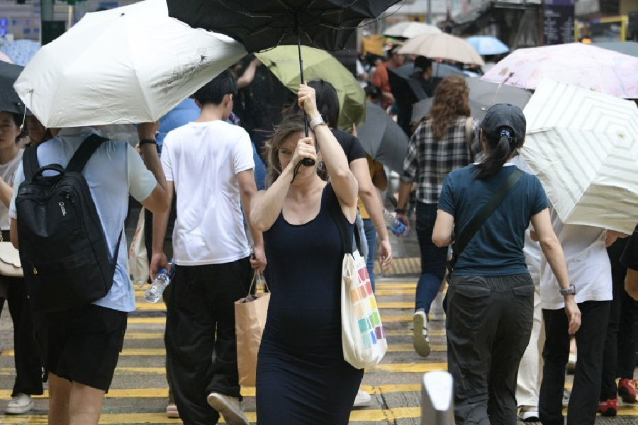
While there will be sunny periods, the public should be aware of the chance for a few isolated showers in localized areas. Monday is predicted to be mainly fine and hot.
The heat is anticipated to peak from next Tuesday through Thursday, with daily maximums climbing to 31 degrees. If this forecast holds, it will surpass the highest temperature recorded so far this year, which was 30 degrees on March 25.
Relief is expected by the end of next week as a trough of low pressure moves in, bringing a few showers to southern China. Next Friday and Saturday will see a "cool down," with temperatures dropping to a more moderate range of 24 to 28 degrees on Friday and 23 to 27 degrees on Saturday.
The weather will become generally cloudy with some showers.
Meteorologists are also monitoring a tropical depression that has formed over the northwestern Pacific near the equator.
However, it is located more than 5,000 kilometers southeast of Hong Kong and is not expected to pose any threat to the East Asia region.