Read More
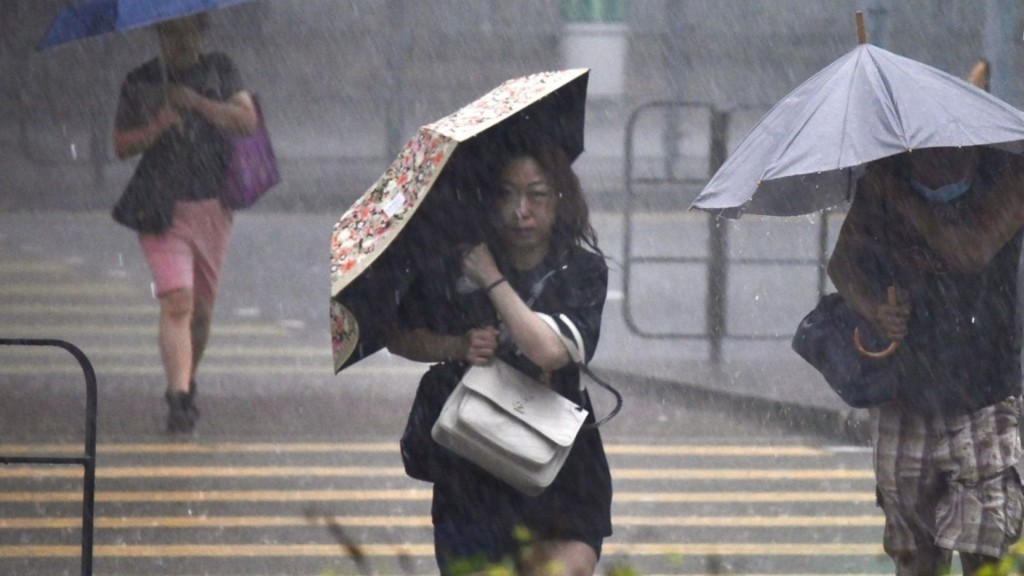
Hong Kong welcomed the traditional start of winter today with a balmy low of 23 degrees—more spring breeze than frosty bite—while meteorologists eye Typhoon Fung-wong, set to barrel within 800 kilometers by Monday and whip up gusty winds and scattered showers mid-week.
ADVERTISEMENT
SCROLL TO CONTINUE WITH CONTENT
Though Tropical Cyclone Kalmaegi has fizzled, the threat lingers. Currently, a strong tropical storm parked 1,680 kilometers east of Manila, Fung-wong is forecast to charge west-northwest at 25 kph, bulking into a super typhoon by Sunday before slamming Luzon.
It should then veer north into the South China Sea’s northeast corner, likely curving toward Taiwan while weakening under a dry northeasterly monsoon early to mid-next week—though exact timing and intensity remain fluid.
The Observatory’s track shows offshore and high-ground gusts hitting level 6 intermittently on Tuesday and Wednesday, with one or two rain bursts.
Temperatures dip to 21 degrees on Wednesday, sliding to 20 degrees on Thursday before rebounding.
From Thursday through Sunday, skies are clear to mostly sunny, peaking at 26 degrees on Friday with dry, pleasant daylight hours.
Saturday spans 21 to 25 degrees under bright conditions, and Sunday warms further to 22 to 26 degrees.
No direct hit is expected, but the combined monsoon and storm will rattle southeast China’s coast.
Residents are advised to secure loose items and stay tuned for updates, as the system’s path could still shift.